

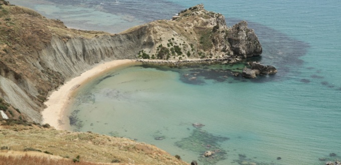
The coast between Licata and Agrigento alternates sandy beaches, coves and rocky headlands. Licata is a historic but not very touristy port, with an agricultural hinterland, and an ancient Greek city on Monte Sant’Angelo that overlooks the town.
The coastal strip includes nature reserves such as its white cliffs, like the Punta Bianca reserve.
Palma di Montechiaro sits on a rocky bastion overlooking the coast above the sea. It is an agricultural and seaside centre locally known for its beaches (Marina di Palma, Cala Vincenzina) and the ancient remains found in the surrounding area.
The landscape remains largely rural, punctuated by small ports, coastal towers and a network of villages and beaches before approaching the coast of Agrigento.
Licata
Licata is a coastal municipality in the province of Agrigento, located on the south-western coast of Sicily, about 45 km east of Agrigento.
The area has been inhabited since prehistory: local surveys and collections attest to Neolithic occupation and a continuity of settlement up to the Roman and medieval periods.
Historically, Licata’s economy combines agriculture (coastal plain and vegetable/cereal crops) and fishing; the port had notable commercial importance, strengthened by the railway link from the 19th century onwards.
What to see in Licata
Monte Sant’Angelo
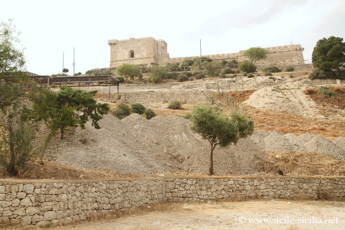
Monte Sant’Angelo, Licata
The promontory is home to the fortress known as Castel Sant’Angelo, originally built as a watchtower in the late 16th century and later enlarged into a fortress in the 17th century by the Spanish.
Archaeological research carried out on Monte Sant’Angelo (the hill north of the town, above the mouth of the ancient Salso/Imera meridionale river) has brought to light an important Hellenistic settlement identified as the foundation of Finziade (Phintias), founded by Phintias, tyrant of Agrigento, in 282 BC; it is generally presented as the last Greek foundation in Sicily. These excavations have revealed structures, pottery and domestic contexts that confirm a significant Hellenistic occupation on this promontory.
After the Hellenistic period, the site experienced phases of Roman and medieval occupation.
Museums and centre of Licata
- Archaeological Museum of the Badia (Museo Archeologico della Badia)
Housed in the convent of S. Maria del Soccorso (the “Badia”), it presents the chronological sequence of local occupations — Neolithic material, Hellenistic offerings, Roman furnishings — and is the main public reference collection for the ancient history of Licata and its lower valley. - Museum of the Sea (Museo del Mare)
A local museum devoted to maritime and underwater remains (anchors, amphorae, shipwreck elements) recovered offshore and in the bay of Licata; it completes the historical and maritime interpretation of the area.
The town centre preserves palaces and churches from the 17th–19th centuries (Palazzo Bosio, Palazzo Frangipane, Baroque buildings and modern-era urban layouts). The streets of the centre and some squares retain dated architectural evidence that testifies to phases of modern and post-medieval reconstruction and embellishment.
The lighthouse (Faro di San Giacomo) is one of the tallest in Italy at over 40 metres.
The Marina di Cala del Sole is the modern marina.
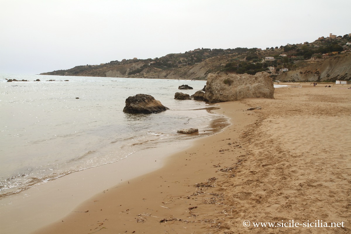
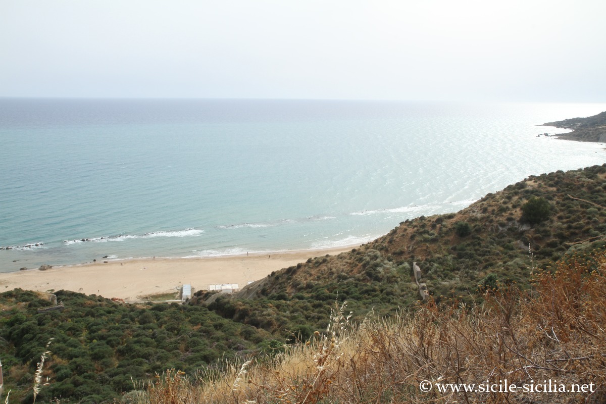
West of the port, the Marianello beach is set in a lovely spot, at the foot of a clay cliff carved by erosion.
Monte Sant’Angelo 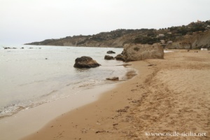
Marianello beach, Licata 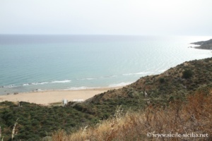

Marianello beach, Licata
Where Licata is located: map
If you see this after your page is loaded completely, leafletJS files are missing.
The coast near Licata, including Mollarella beach
The coastline around Licata has beautiful beaches and natural sites.
To the east of the town the coast is mainly marked by vast sandy beaches, while to the west cliffs, coves, and stretches of pebbles and sand alternate.
The most popular beaches are those of Playa, Mollarella and Poliscia, which are also the sandiest and best equipped.
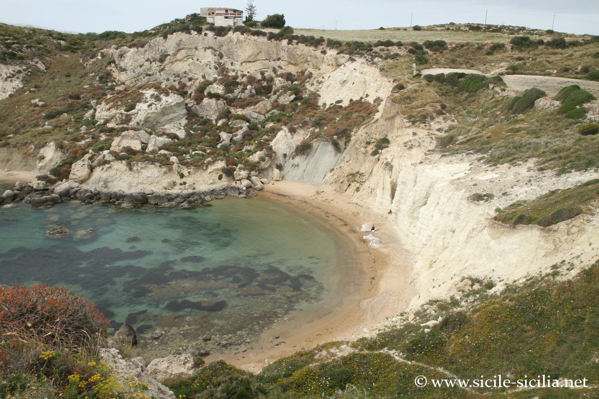
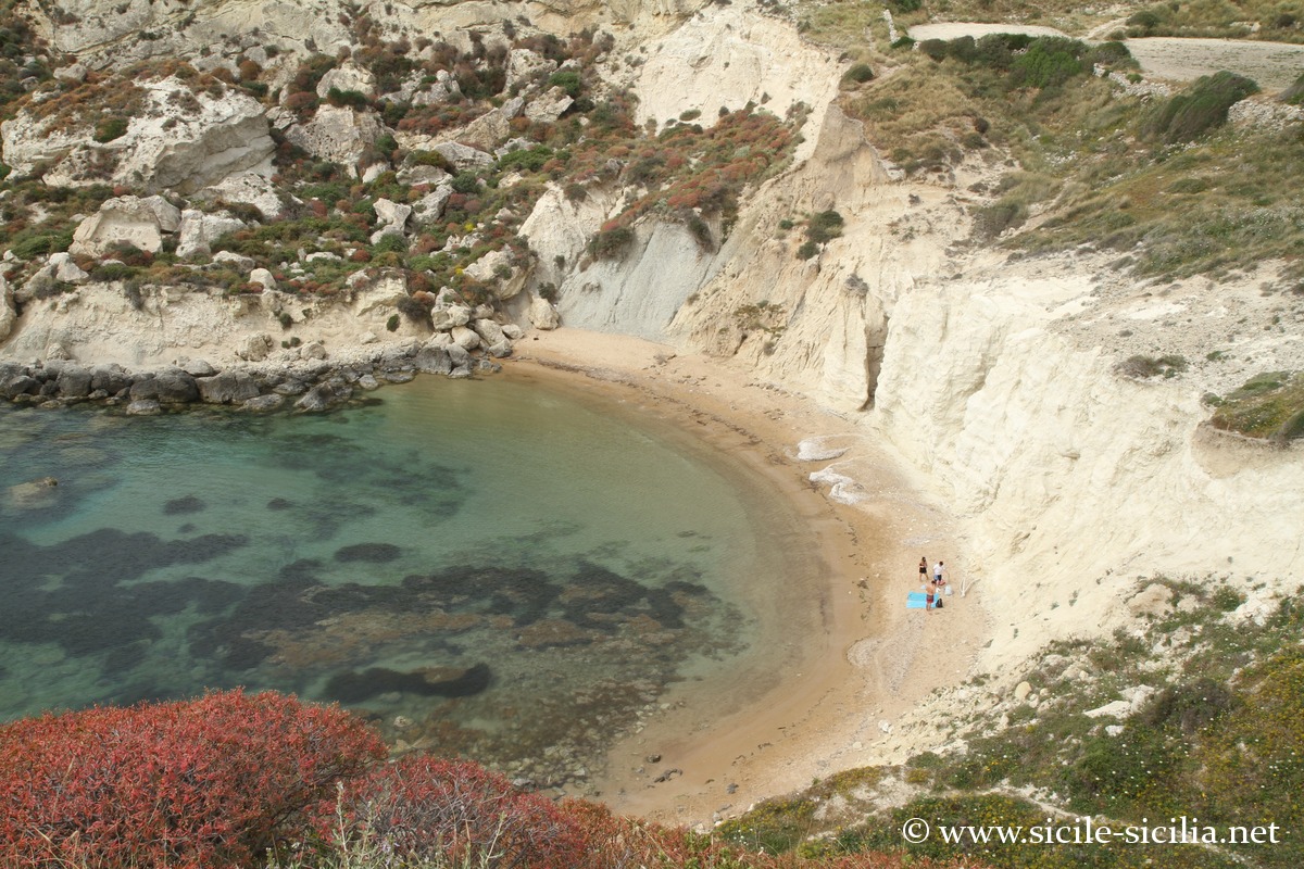
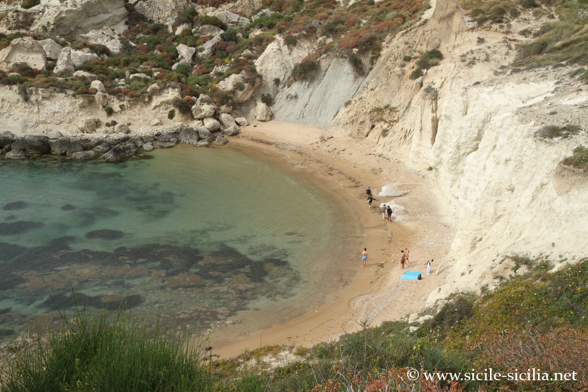
- To the west, beyond Marianello, the coast is indented, as far as the pretty Nicolizia cove in a beautiful natural setting, and further on the very pretty beach of the Bay of Mollarella.
And even further west you find the beautiful cove and the Torre San Nicola and just behind it the Cala Paradiso. Then a vast beach stretches as far as Torre di Gaffe, which attracts many surfers and kitesurfers because of its exposure to the winds. - 13 kilometres to the east, on the coast near Marina di Butera, the beach of Falconara is protected by an imposing old fortress dating back to the 14th century, remodelled over time. Today it is a private structure offering accommodation and reception venues.
Torre San Nicola and Cala Paradiso 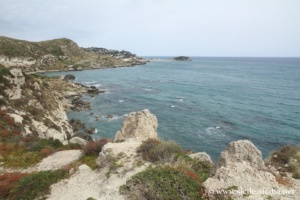
Torre San Nicola and Cala Paradiso 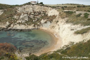
Torre San Nicola and Cala Paradiso 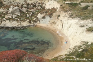
Torre San Nicola and Cala Paradiso 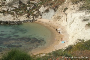
Torre San Nicola and Cala Paradiso 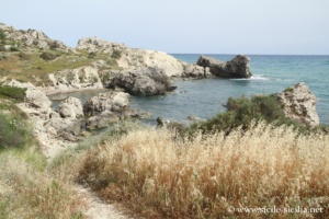
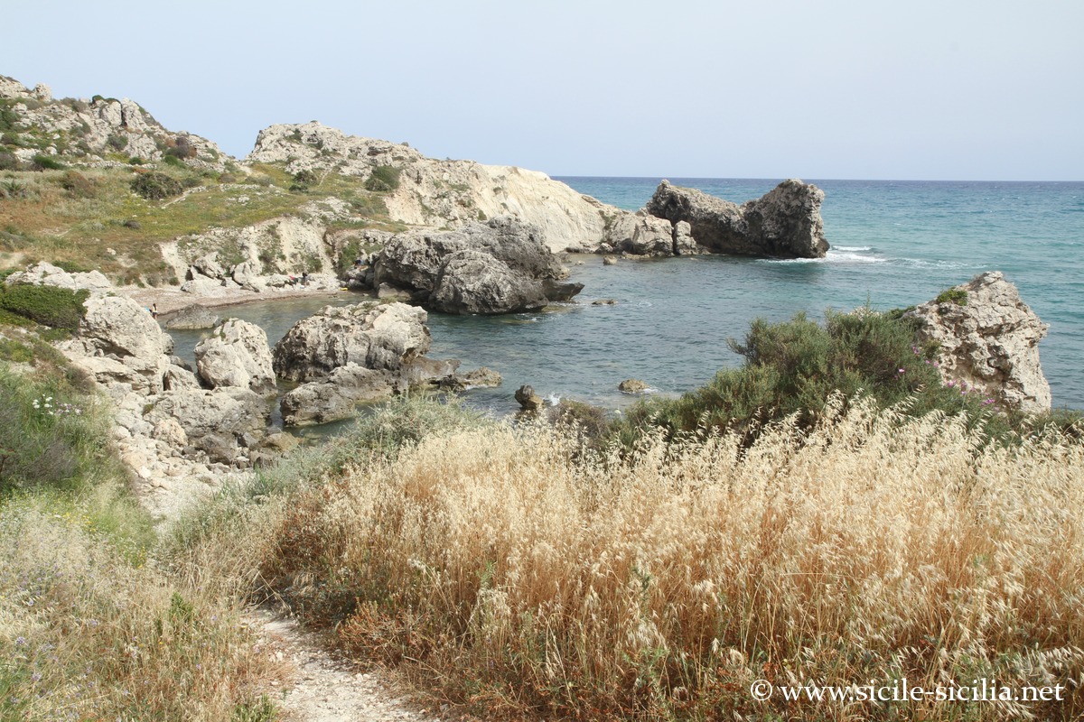
Poliscia and Mollarella
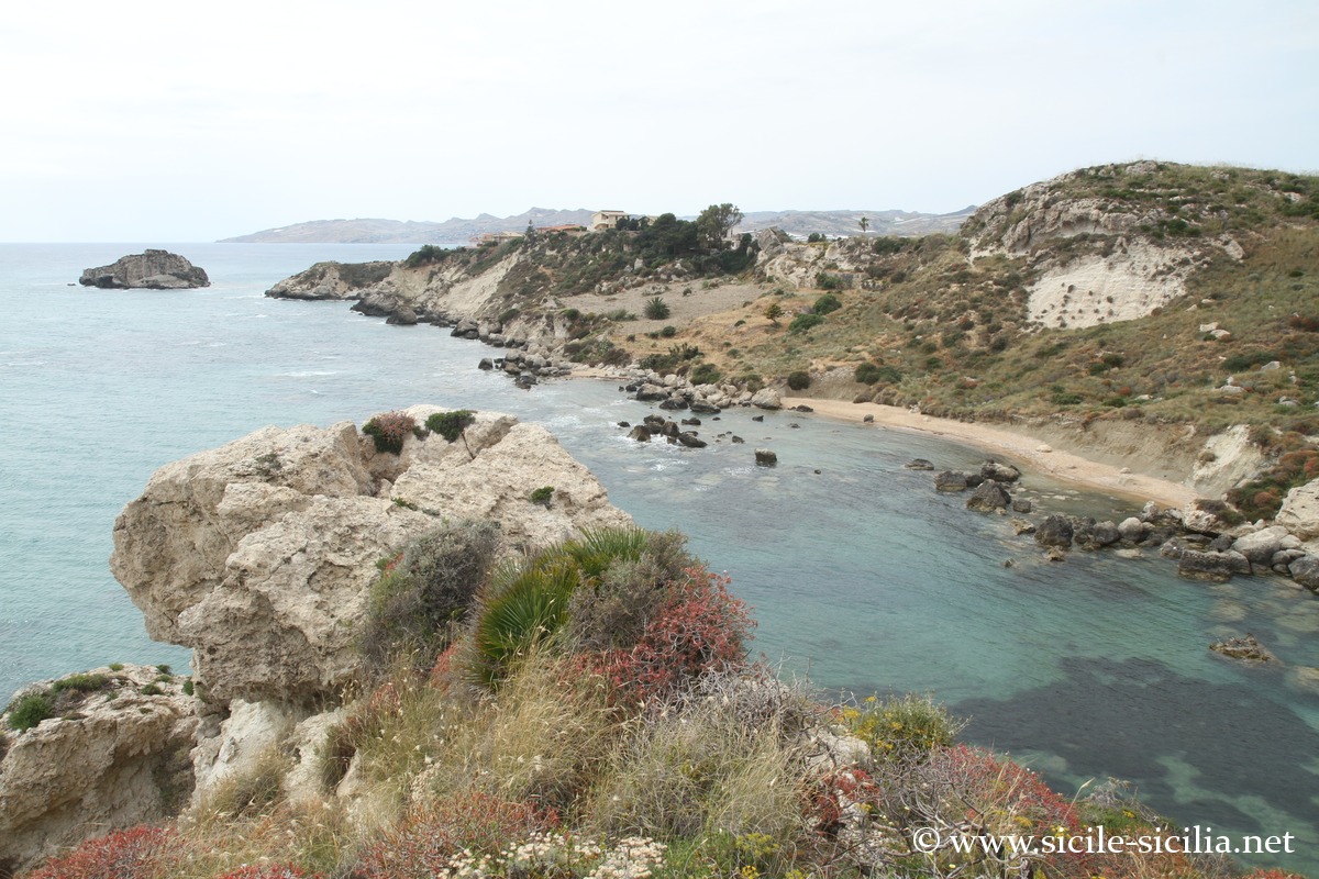
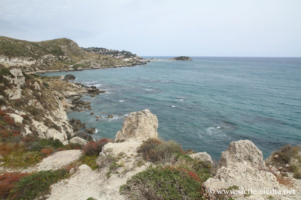
Palma di Montechiaro
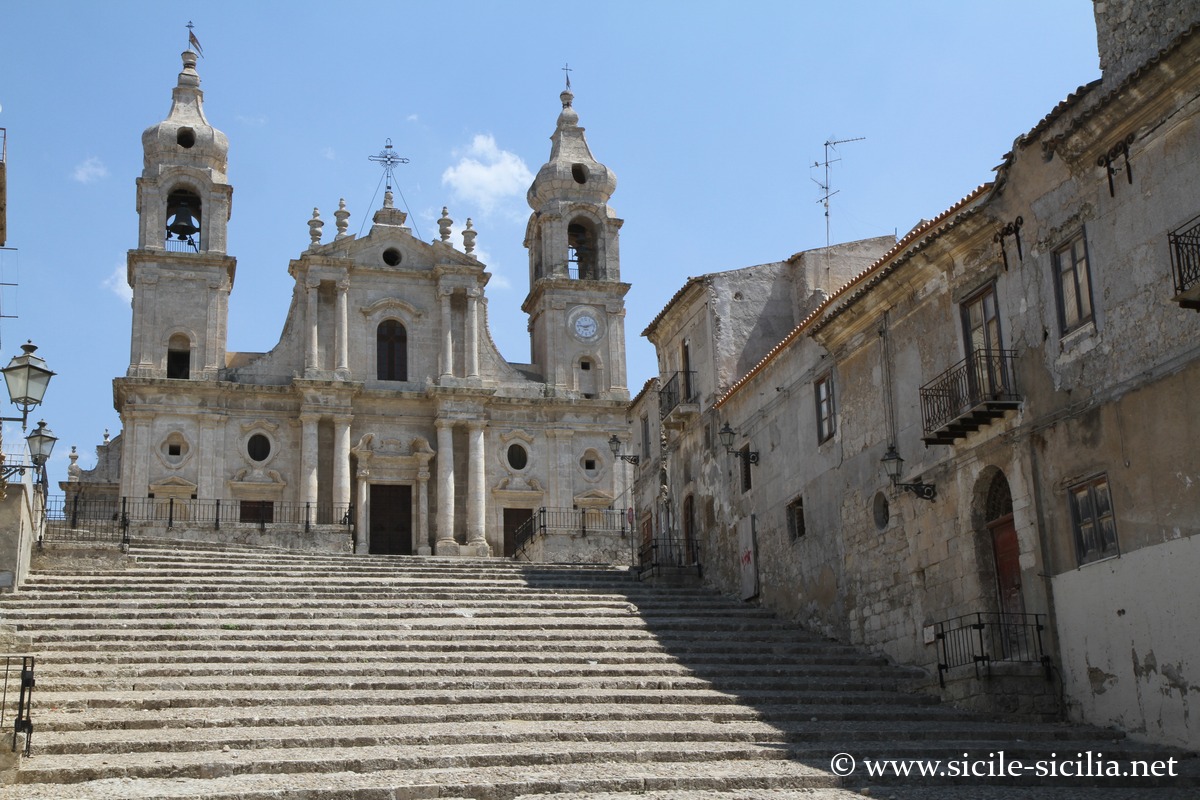
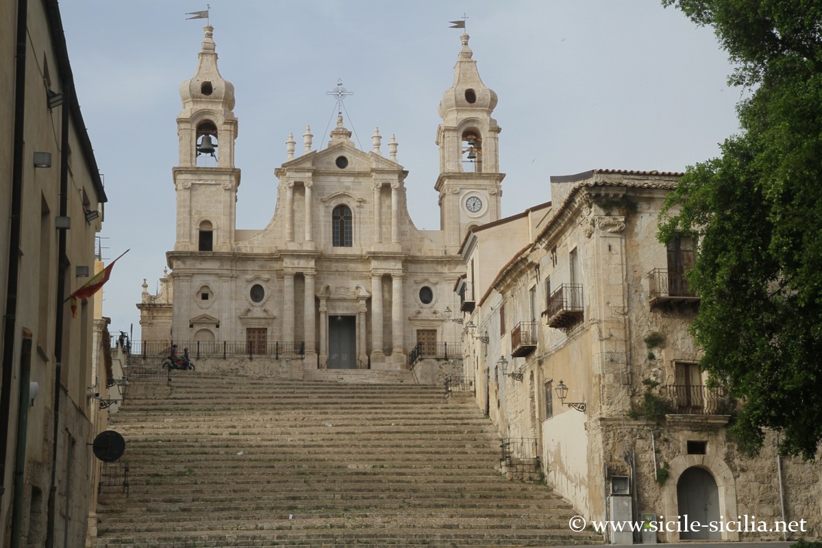
Mother church of Palma di Montechiaro
Located 25 km east of Agrigento, Palma di Montechiaro is the town of which Giuseppe Tomasi di Lampedusa was the duke, author of the famous The Leopard, adapted for the cinema by Luchino Visconti.
The settlement of the area goes far back in time, with the presence of Sican tombs from the 13th century BC.
In the 14th century, the Chiaramonte castle was built, and the present town was founded on 3 May 1637 by the brothers of the Tomasi di Lampedusa family.
On the Calvary hill to the west of the town, with its panoramic view over the coast and the valley, stand the remains of the church of Santa Maria della Luce, reached by a Stations of the Cross staircase similar to that of Jerusalem leading from the palace of Pilate to Golgotha. As early as the 17th century, pilgrims venerated there a copy of the holy shroud (now kept in the church of the Collegio di Maria).
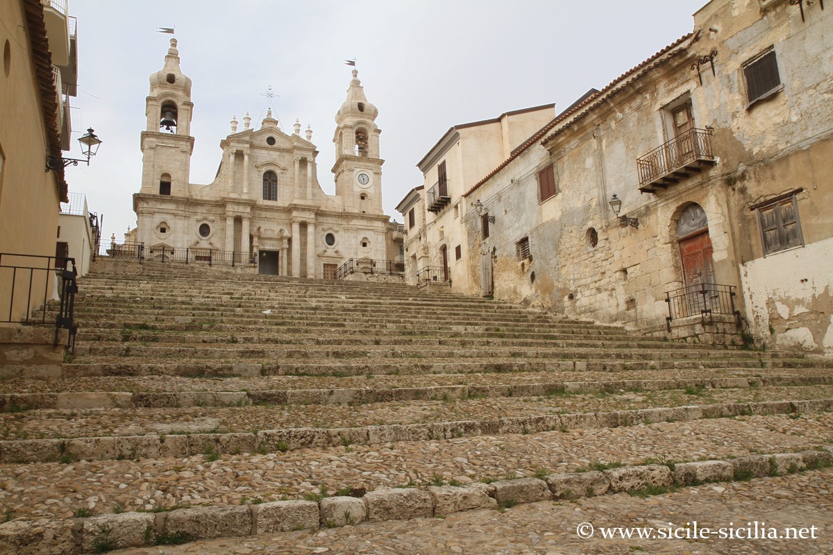
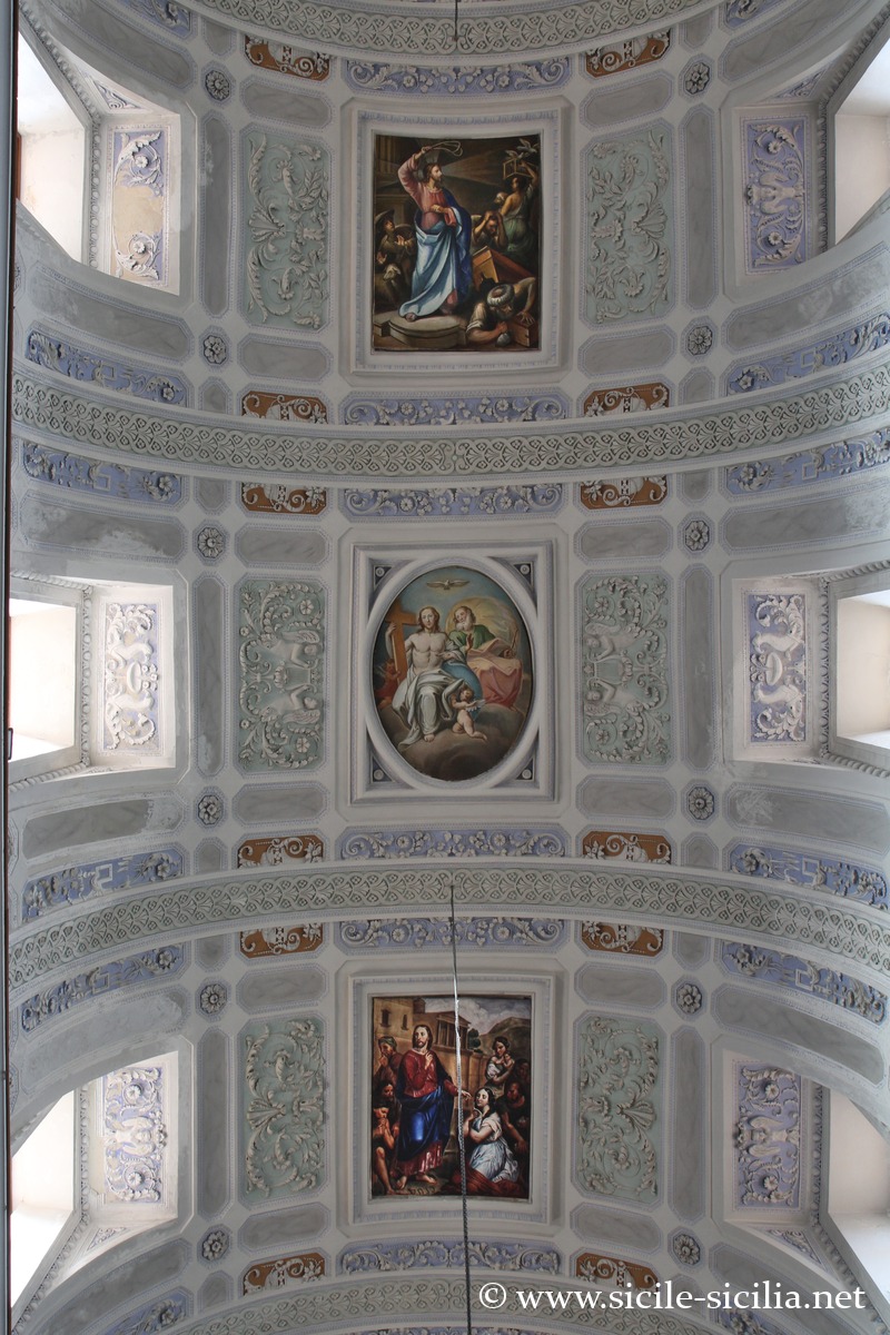
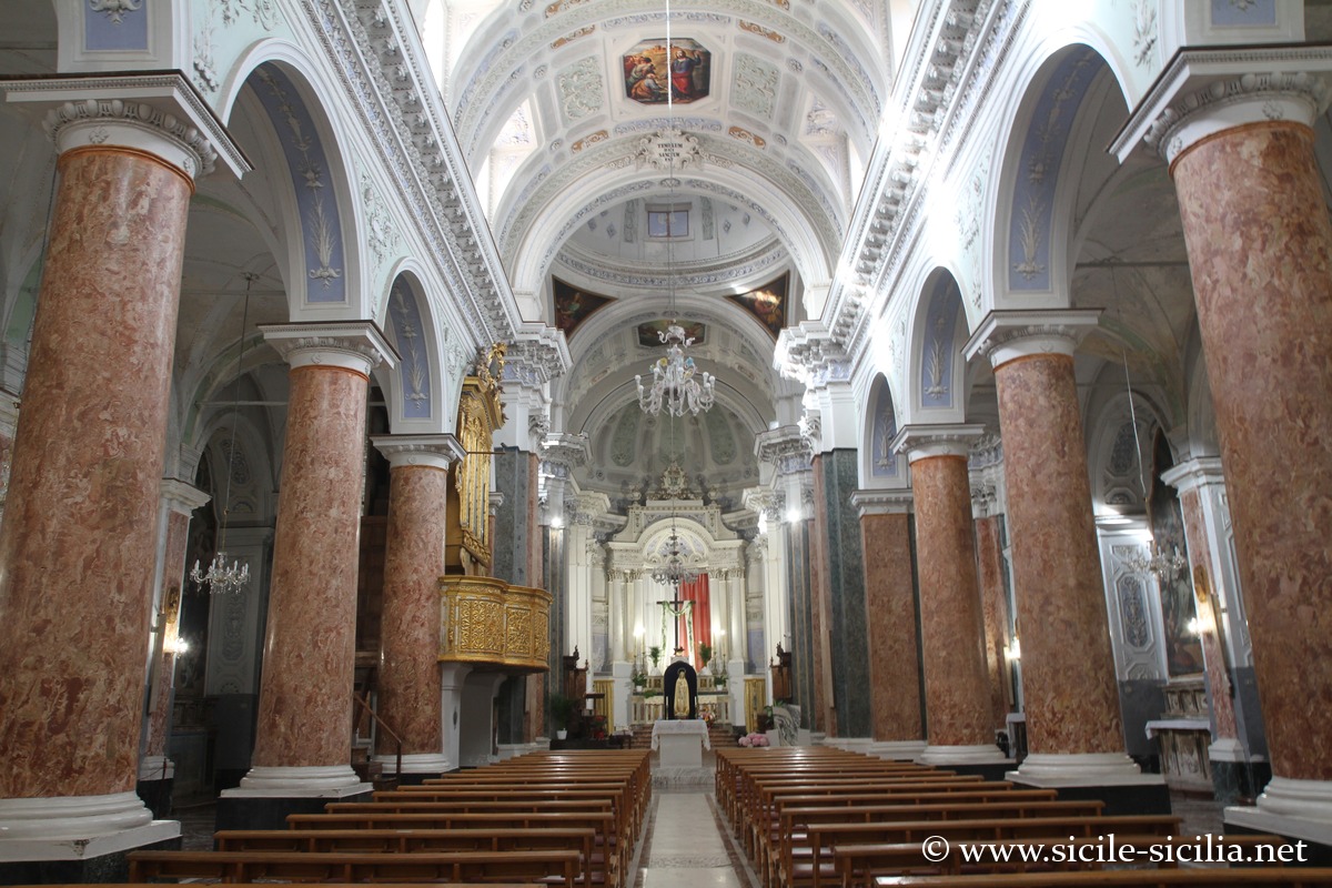
The Chiesa Madre of the 17th century is the emblematic building of the town, in Baroque style, built in the 17th century, dominating a large monumental staircase. Inside it preserves remarkable works of art.
The Palazzo Ducale was built in the 17th-century Benedictine monastery, acquired by the town. While the exterior is austere, the interior is refined with painted wooden coffered ceilings.
The Benedictine monastery is a beautiful building from the mid-17th century, preceded by an original semi-circular staircase.
Among the other sites of the town, the Church of the College of Mary (18th century) displays the copy of the Holy Shroud; the Church of Purgatory (1646) has an artistic Baroque portal; the 17th-century Baroque Palazzo degli Scolopi also includes the Church of the Holy Family (18th century).
Chiesa madre of Palma di Montechiaro 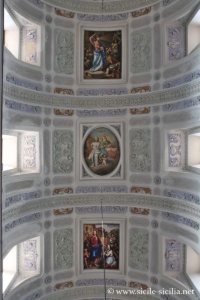

Chiesa madre of Palma di Montechiaro 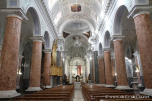
Chiesa madre of Palma di Montechiaro 
Chiesa madre of Palma di Montechiaro
Where Palma di Montechiaro is located: map
If you see this after your page is loaded completely, leafletJS files are missing.
Coast of Torre di Gaffe in Agrigento
Chiaramontano Castle
West of Licata, one encounters Spiaggia Malerba: a golden sandy beach, good seasonal beach facilities (umbrellas, showers), clear water; busy in summer but appreciated by families, although at peak times the parking lot can be full.
Rocca Tenna is a small rocky point/formation with a viewpoint and access to small coves via paths.
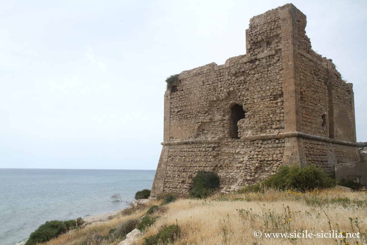
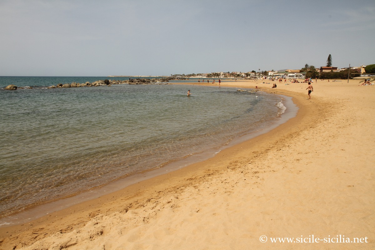
Further on, after the watchtower of Torre San Carlo, Marina di Palma is a seaside resort.
Chiaramontano Castle
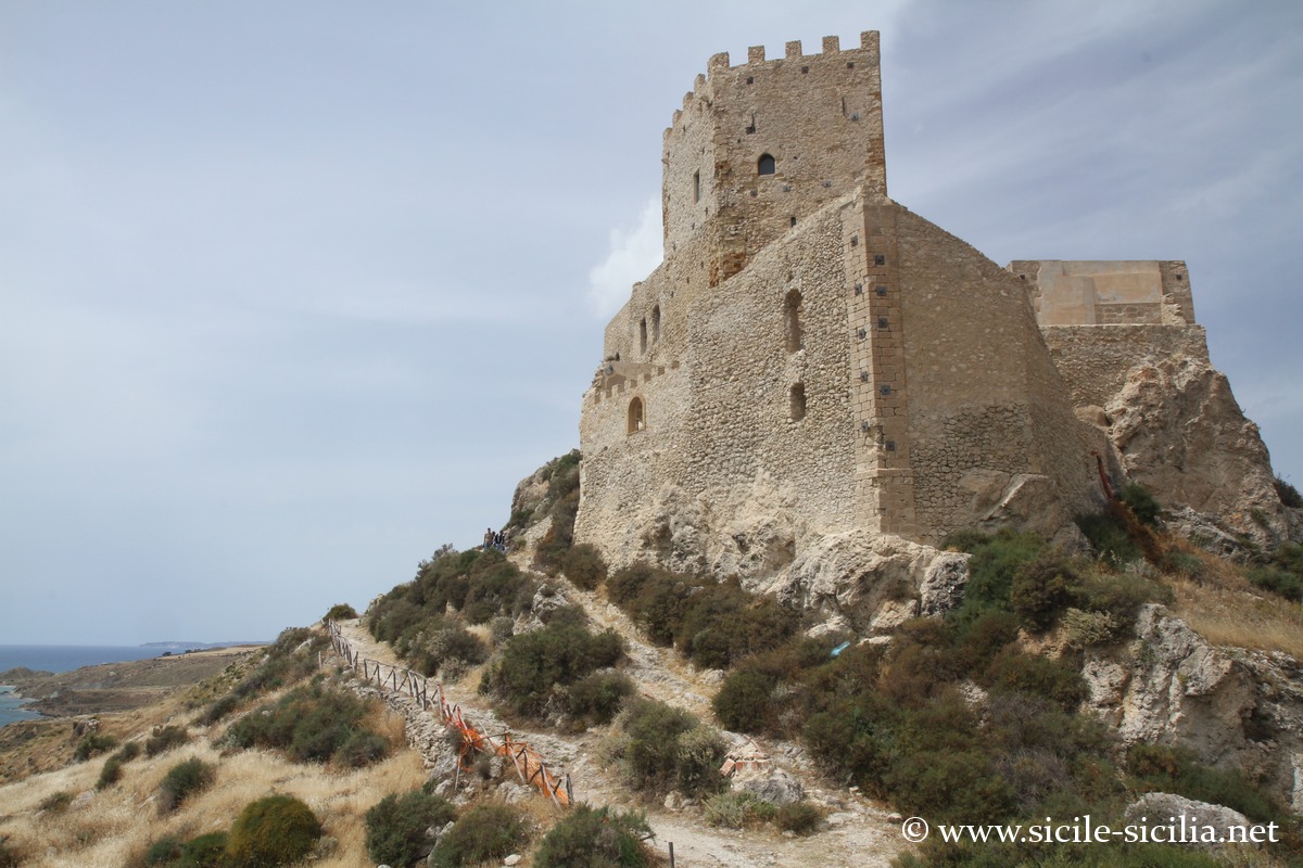
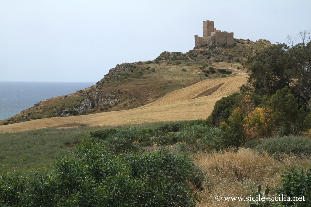
A few kilometers from Palma di Montechiaro and 200 meters from the coast stands the Chiaramontano Castle from the medieval and Chiaramonte era. Beautiful site in a panoramic setting.
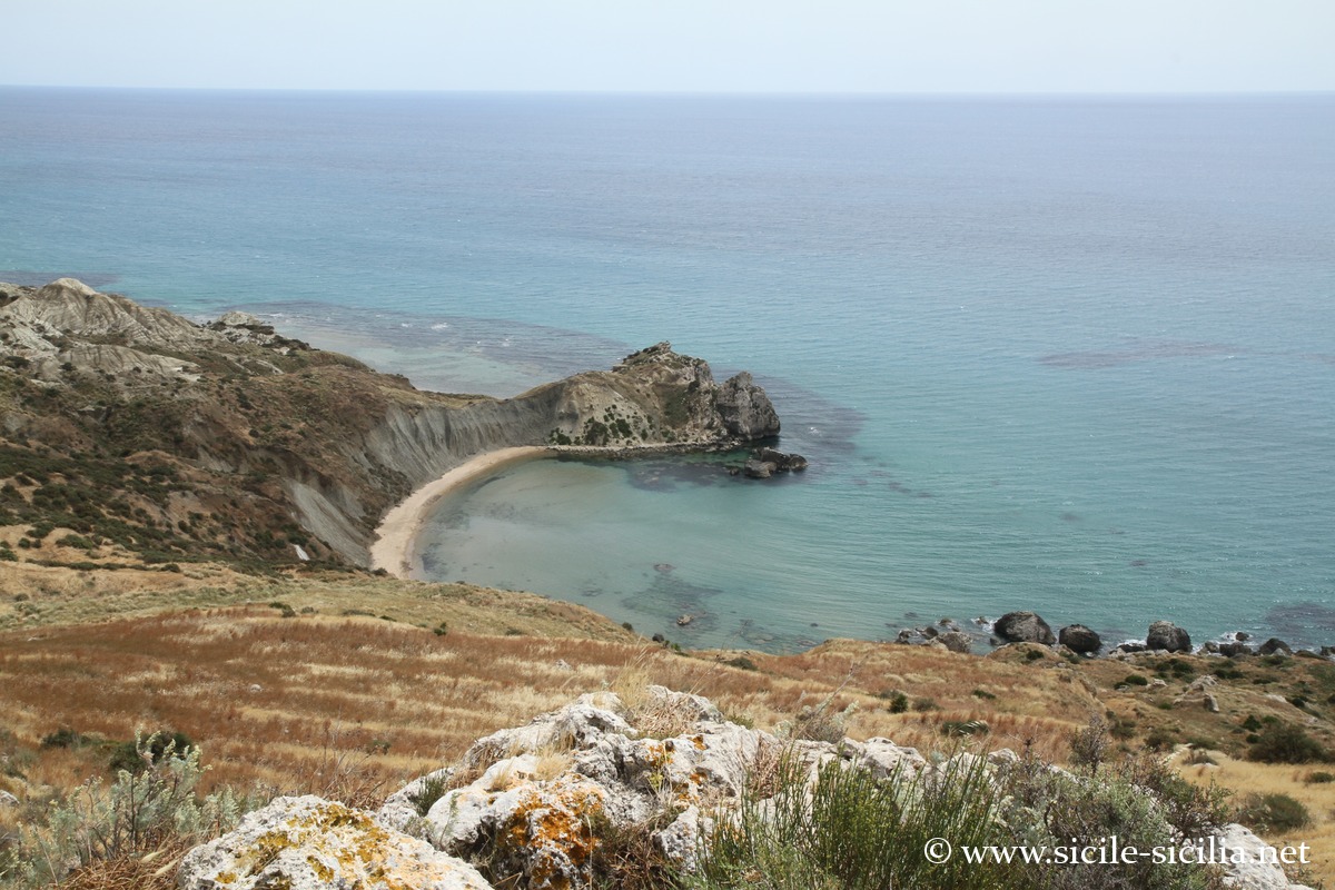
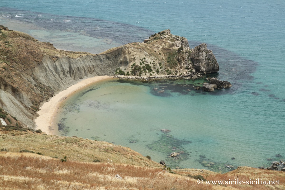
The Baia delle Sirene (the Bay of the Sirens), at the foot of the castle, lies in a protected coastal landscape, with its clear waters.
Erected in the 14th century by the Chiaramonte family, the castle adopts a rocky spur layout intended to monitor the sea and inland routes. The structure combines a dwelling, a chapel and a defensive system still legible despite modern restorations. It fulfilled its role against Barbary incursions. The building features late Gothic elements typical of the Chiaramontano style. The site offers a full panorama over the southern coast.
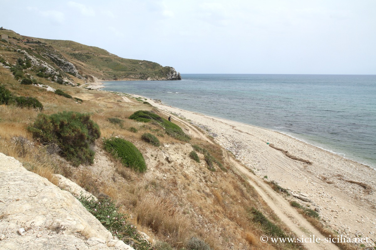
Progressing towards Agrigento, Cala Vincenzina is a small isolated bay in a preserved setting, with very clear waters, an alternation of sand and rocks. However, access via an unmaintained dirt track is difficult and the site is little frequented.
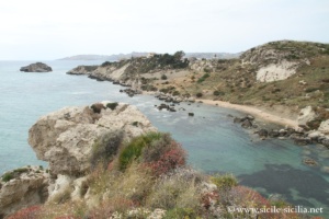
Punta Bianca
Punta Bianca
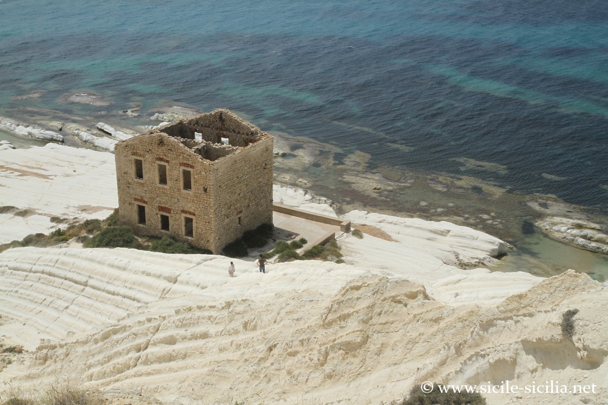
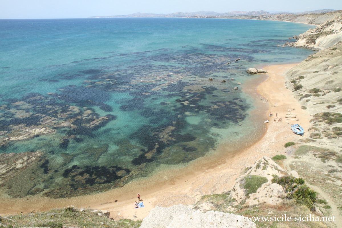
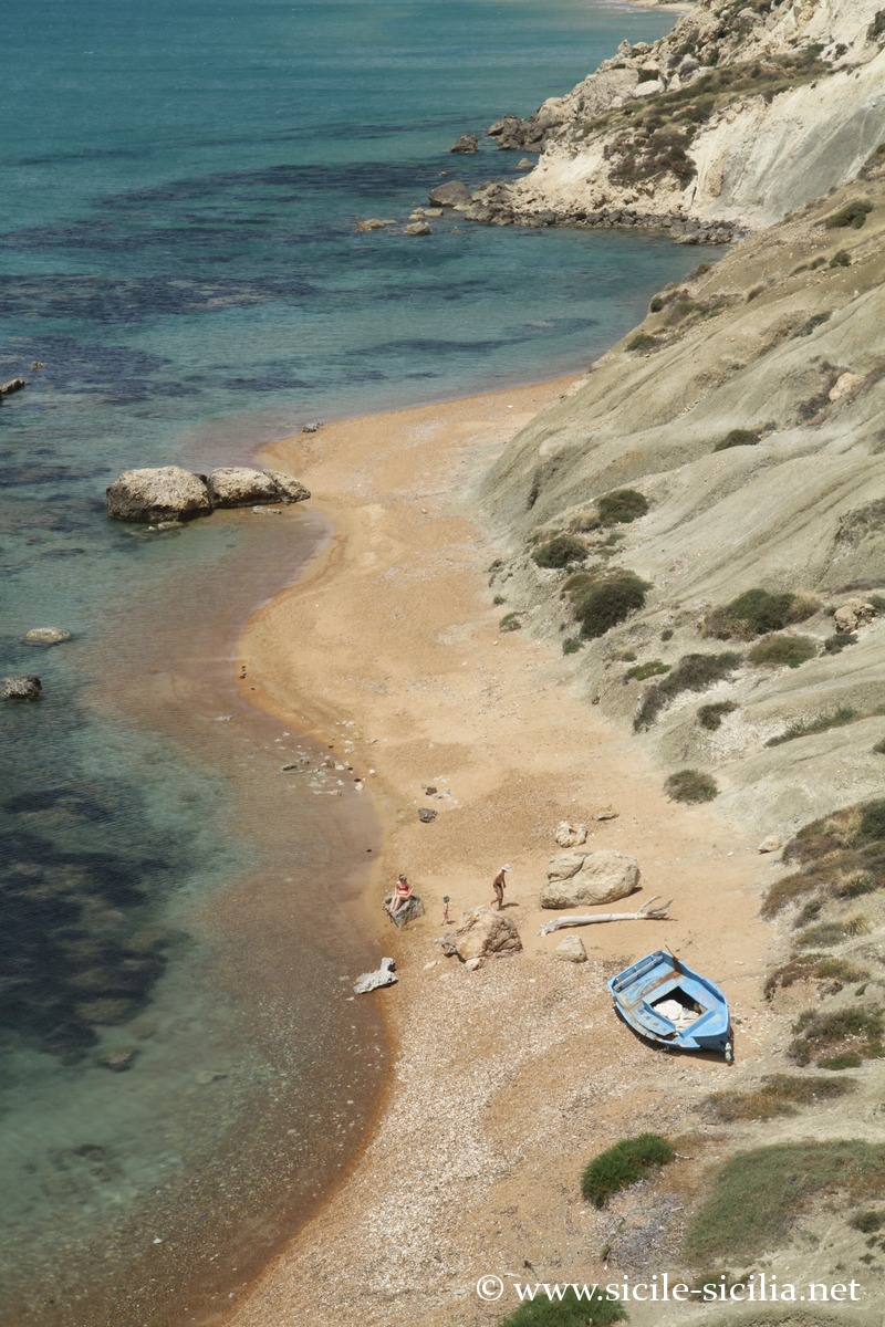
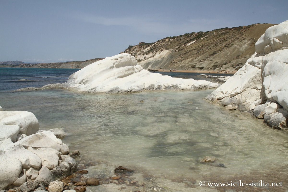
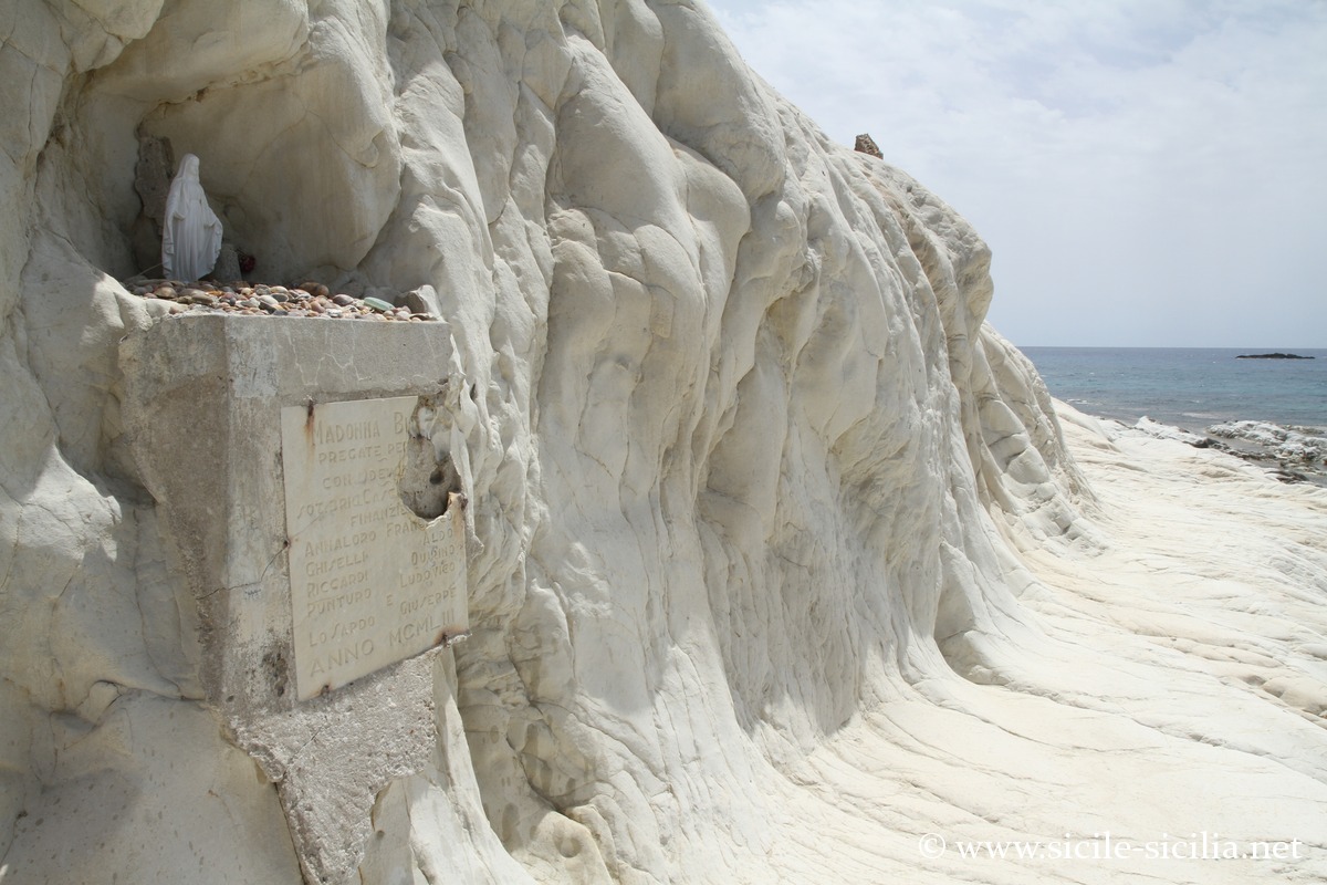
Further on, the Punta Bianca Nature Reserve, classified as a protected natural area for its geological and landscape value, is accessible by a maintained dirt road. It is a superb coastal site with its white cliffs and rocks descending into the sea. The Punta Bianca itself is an outcrop of white and luminous Pliocene marls and limestones, shaped by strong marine erosion, linked to the ancient history of the Mediterranean, notably to the Messinian salinity crisis (drying up of the Mediterranean from 5.97 to 5.33 million years ago) and then to the reopening of the basin towards the Atlantic.
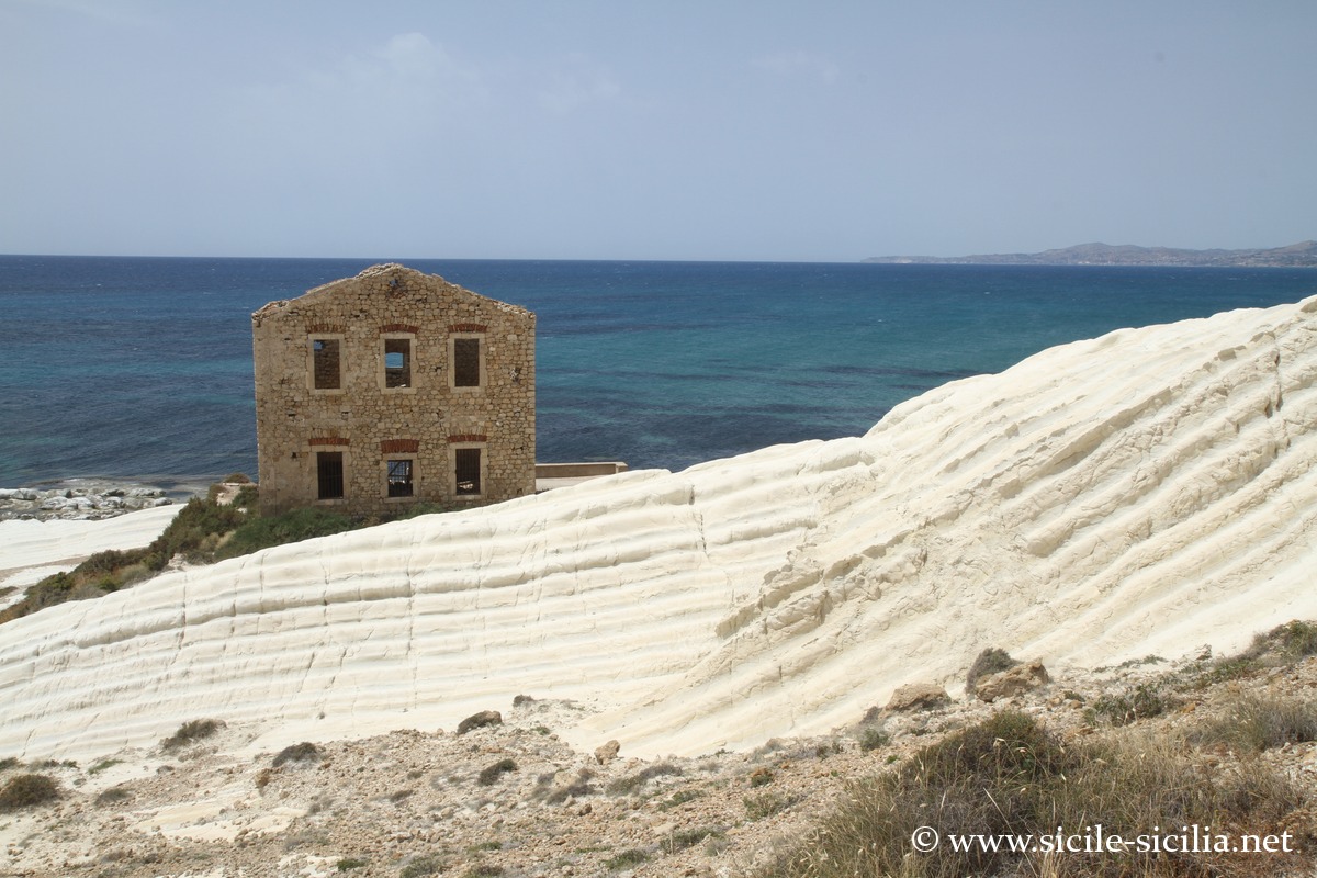
At the foot of the white hill, the Casa dei Doganieri is an old Guardia di Finanza barracks that served to monitor this isolated stretch of coastline against clandestine landings and smuggling. Its ruin gives a human and historical dimension to this mineral setting.
A few miles from Punta Bianca lies the wreck of the Almerian, a British steamship of the Leyland Line sunk on 19 October 1918, at the end of the First World War. The ship was carrying notably sulphur, an emblematic cargo of the Sicilian mining economy of the time, when it struck a mine linked to the operations of the German submarine U 73. The story of this cargo ship is also associated with the last voyage of the Titanic: several accounts present it as one of the last ships to have passed it on 14 April 1912. Beneath the white cliffs of the Agrigento area, this natural landscape therefore also hides a memory that blends sulphur, war and great Atlantic crossings.
Set back, a well-preserved Mediterranean maquis extends with protected birdlife.
On Monte Grande is a prehistoric sanctuary of the Castelluccian culture, linked to the ancient movements of sulphur in the Mediterranean, whose extraction in the region continued until the end of the 19th century.
The landscape retains material traces of this activity, as well as more recent military remains, notably Second World War bunkers.
The hill also has one of the best viewpoints in the area, with a panorama towards San Leone, Agrigento, Capo Rossello, Palma di Montechiaro and the castle of Montechiaro.
Rest of the coast up to Agrigento
In Zingarello, the “Spiaggia dei Sogni” is a beautiful fine sandy beach, with clear waters, also appreciated for snorkelling.
San Leone is considered the beach of Agrigento, a long stretch of sand, with breakwaters and rocks in places, a lively seaside promenade with sunbed facilities and restaurants, very busy in summer and not always well maintained.
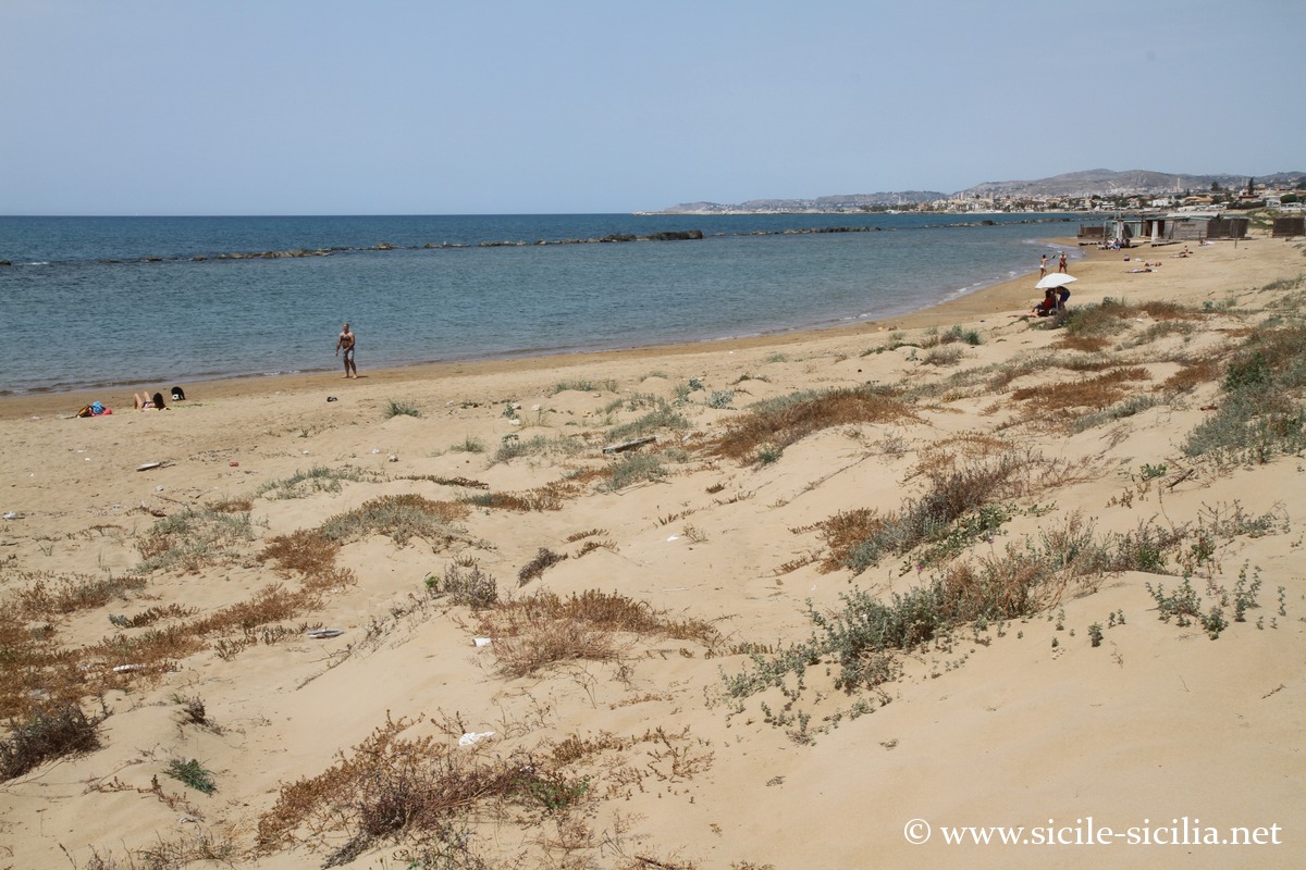
In Maddalusa, the beach is an expanse of sand whose seabed slopes gently, less equipped than the previous one.
Photo gallery
Chiaramontano Castle, Bay of the Sirens and Capo Bianco reserve.
Chiaramontano Castle 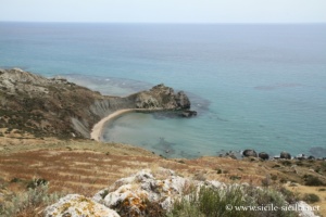
Bay of the Sirens 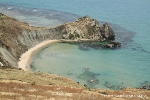
Bay of the Sirens 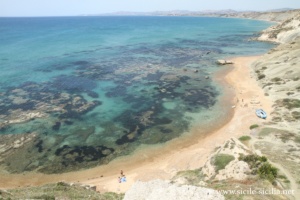
Barbarossa Beach 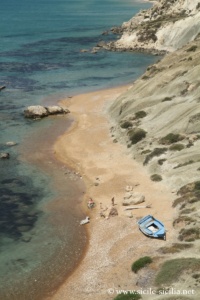
Barbarossa Beach 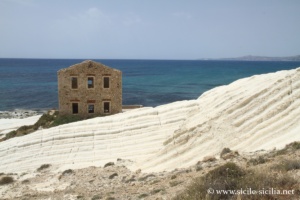
Capo Bianco Nature Reserve 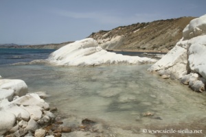
Capo Bianco Nature Reserve 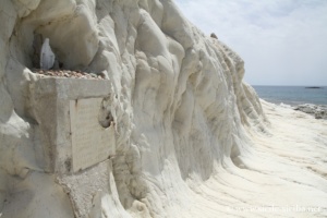
Capo Bianco Nature Reserve 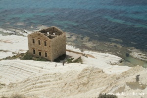
Capo Bianco Nature Reserve
Marina di Palma and beaches of Agrigento
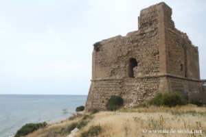
Torre San Nicola, Marina di Palma 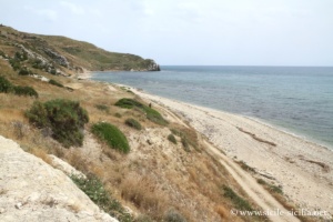
Torre San Nicola, Marina di Palma 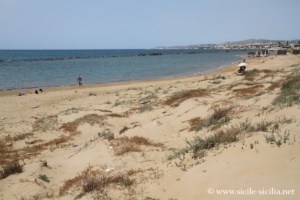
Beaches of San Leone and Dune 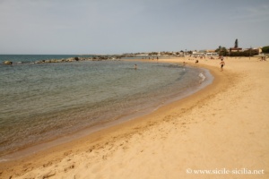
Beaches of San Leone and Dune
Map of the coastal sites
Information
External sites
- Licata: livingagrigento.it, en.wikipedia.org
- Palma di Montechiaro: en.wikipedia.org, livingagrigento.it, www.comune.palmadimontechiaro.ag.it
- Castello Di Palma Di Montechiaro — Historical and architectural presentation: icastelli.it
- History and territorial information of Palma di Montechiaro: palmadimontechiaro.comune.digital
- Coastline between Licata and Marina di Palma — FAI: fondoambiente.it
- Punta Bianca — Geological and landscape description: lavalledeitempli.it
- Panorama of the Licata coastline — beaches and cliffs: piaceresicilia.it
Articles: Near Agrigento
- Visit to Agrigento and surroundings
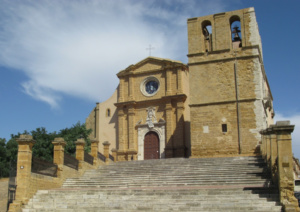
 C’est sur une colline, nommée Girgenti, que s’étend le centre historique d’Agrigente, ...
 - Sicani Mountains
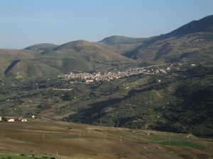
 The Sicani Mountains are a mountain range in the hinterland of western ...
 - Sutera
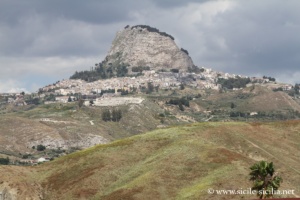 12 kilometres south of Mussomeli and near the beautiful Platani valley, the ...
 - Scala dei Turchi
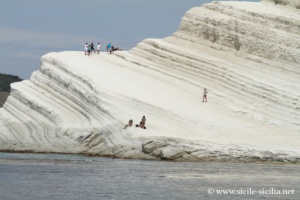 La Scala dei Turchi («escalier des Turcs» en français) est une paroi ...
 - Coastal itinerary west of Agrigento towards Sciacca
 Itinéraire à l’ouest d’Agrigente, en partant de la maison natale de Pirandello ...
 - Favara, Racalmuto and Aragona
 If, after visiting the most attractive sites of Agrigento and its coastal ...
 - Siculiana
 Siculiana is a pretty little village 20 km west of Agrigento, set ...
 - Campobello di Licata and Ravanusa
 Campobello di Licata is a small town in the province of Agrigento, ...
 - Naro and Surroundings
 In the hinterland of Licata, Naro is a small town that rises ...