

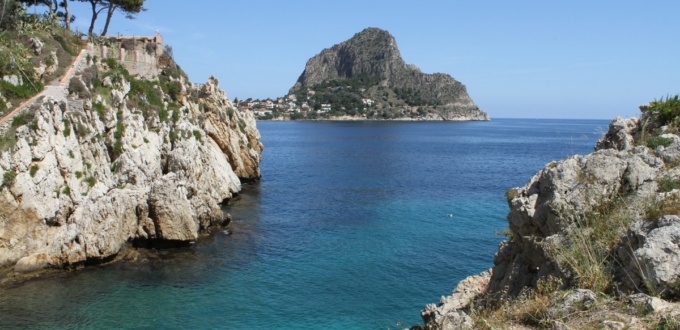
The Mount Catalfano and Cape Zafferano Park is a natural area located between Bagheria and the sea, covering 300 hectares with three peaks: Cozzo San Pietro (345 metres above sea level), Mount Catalfano (376 metres above sea level) and Mount Città (230 metres above sea level), where the Punic city of Soluntum was built.
Discovering Mount Catalfano
Some walls of the Mount Catalfano mountain reach about one hundred metres in height. The landscape is arid in places, while elsewhere it is rich in citrus trees and olive trees, with a rare holm oak, but also dwarf palms, local flowers, wild orchids endemic in spring and every kind of Mediterranean vegetation, sometimes flown over by peregrine falcons and blue rock thrushes.
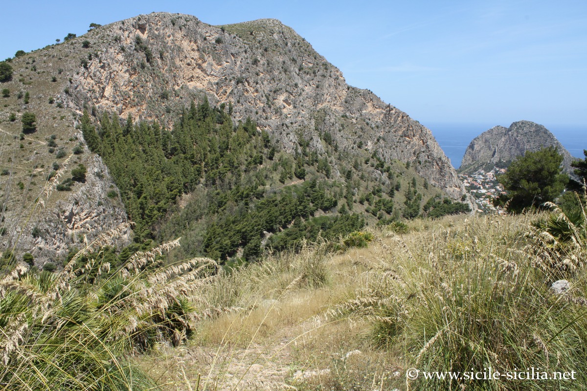
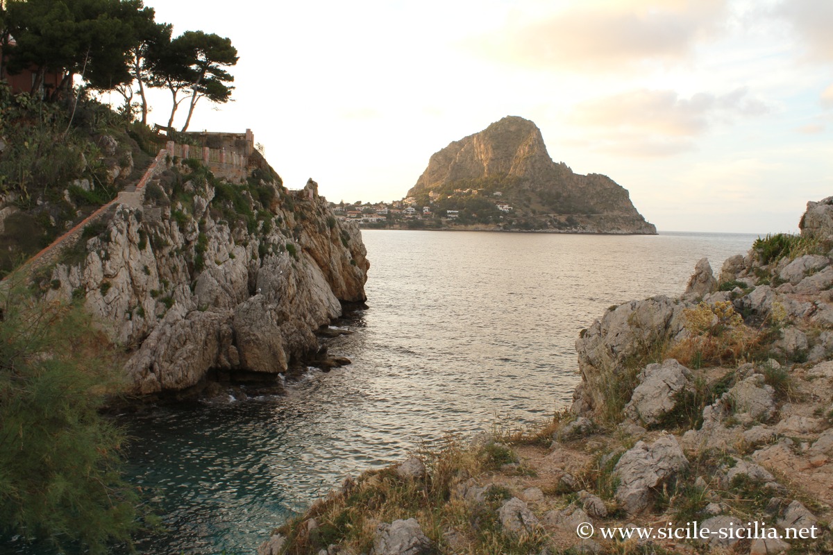
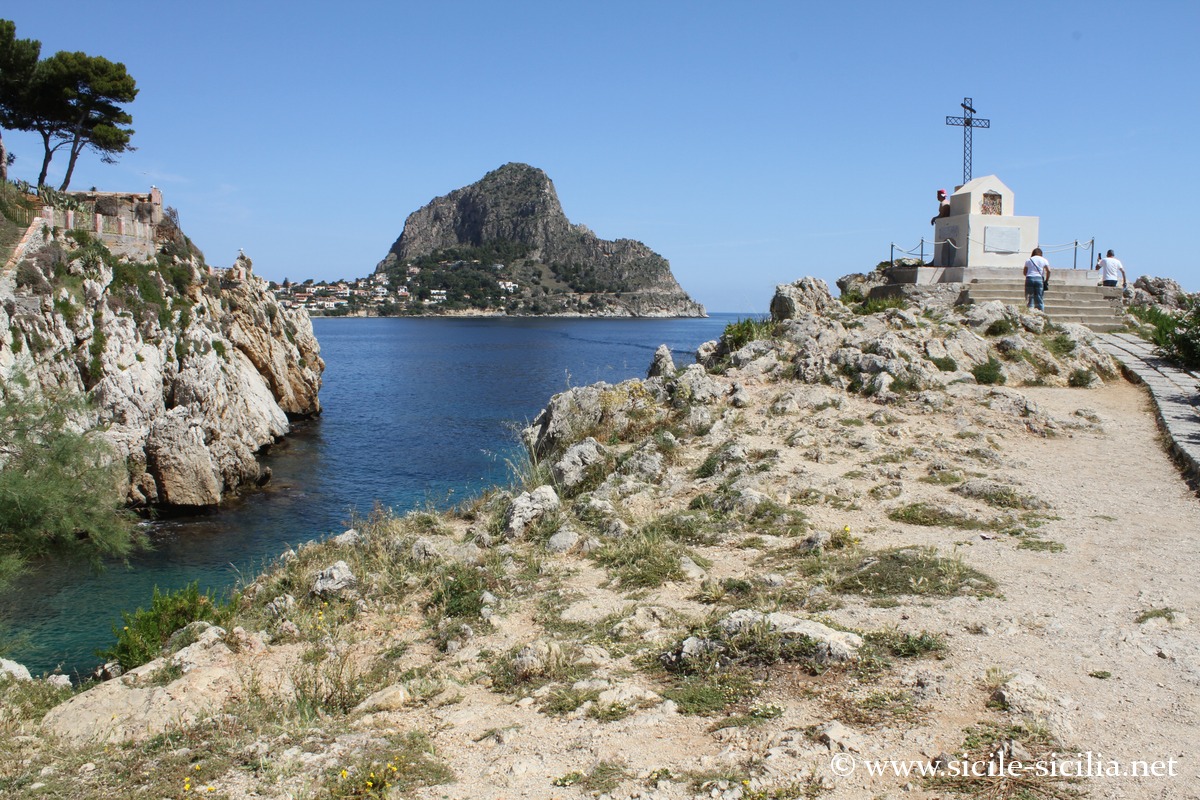
Panorama of Mount Catalfano from Solunto
The trails reach panoramic viewpoints overlooking the coast, Bagheria and the Gulf of Palermo. Some descend the rocky walls to reach caves, formed when Mount Catalfano was a small island bathed by the sea.
A path links the land caves (eight in number), along a route of nearly 4 hours, including one with its pool of water from which a column emerges, or the hermit’s cave, a cavity 23 metres deep in which bones of a prehistoric Pleistocene ox were found, and on a wall a black painting with an anthropomorphic figure, probably Neolithic.
These sites indicate prehistoric human frequentation and suggest ritual or practical uses by the populations of the Palaeolithic and Eneolithic.
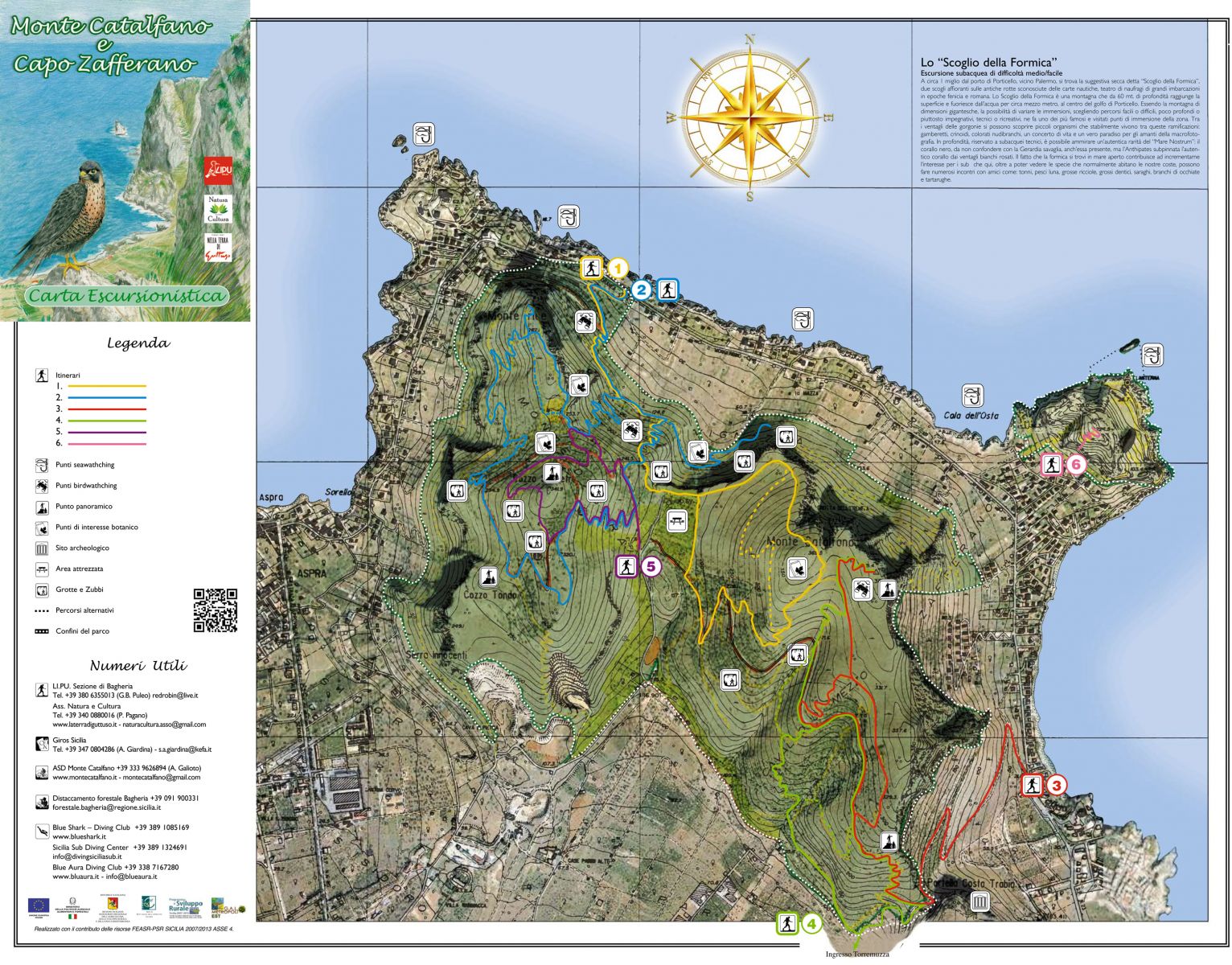
Itineraries on Mount Catalfano
Several spectacular sea caves can be explored by boat around Capo Zafferano, departing from Aspra, which are also eight in number, and you can even pass under the arch of the Arco Azzurro.
A path links the five vertical caves called zubbi, marked by signs, on Monte Irice and Monte Catalfano. These are tectonic-type cavities, whose vertical openings were formed by deep geological movements during the Quaternary.
Santa Flavia and the coast
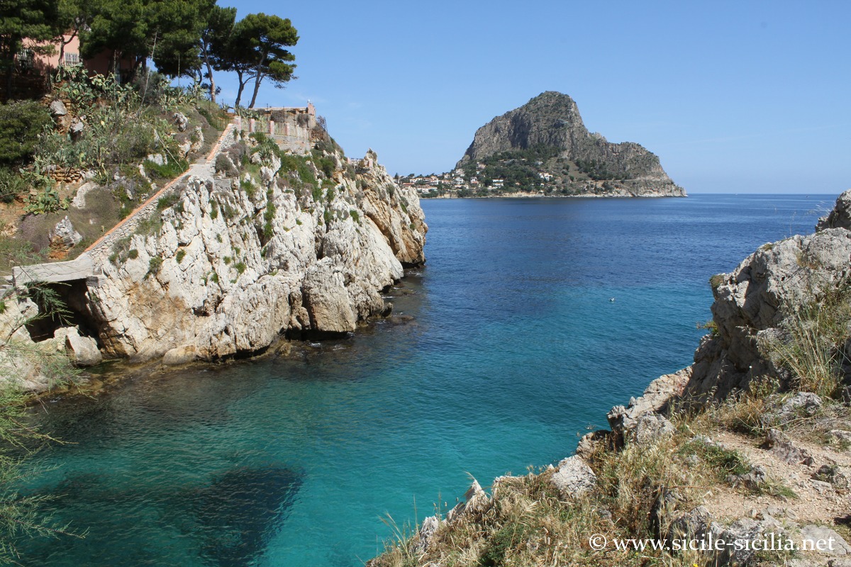
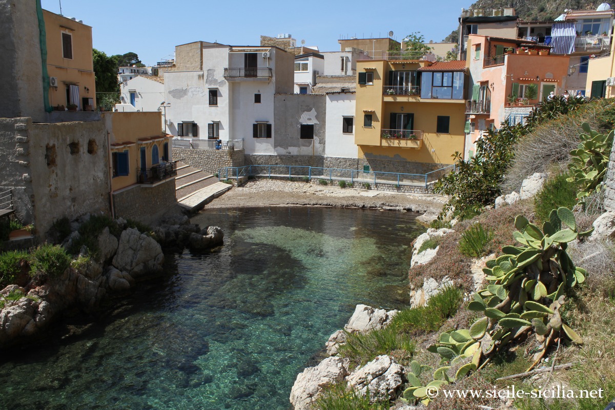
Sant’Elia Cove
At the foot of the ancient city of Soluntum, Santa Flavia is a seaside village with scattered remains of the ancient Phoenician settlement of Kafara within its territory (near the station in particular).
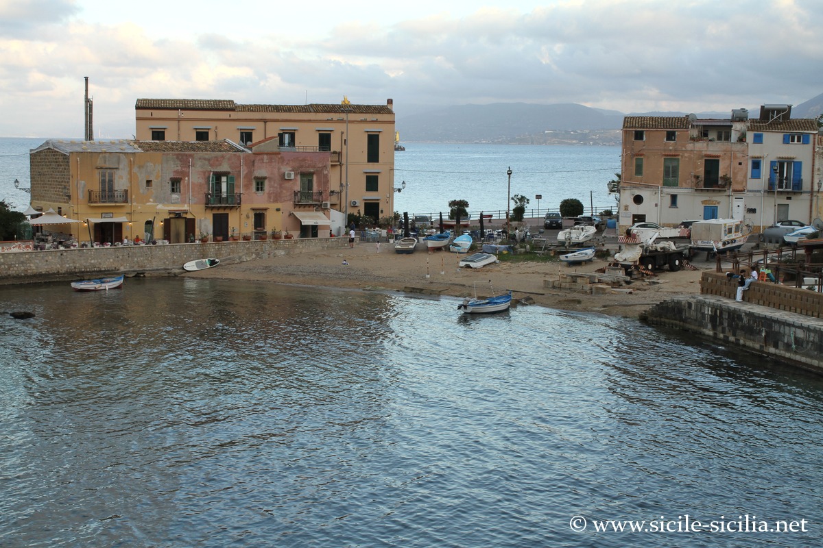
Along a moderately urbanised coast, you can stroll on the pleasant Porticello lungomare just north of Porticello harbour, leading to the Santa Nicolicchia point with its pretty borgo around a very small gulf.
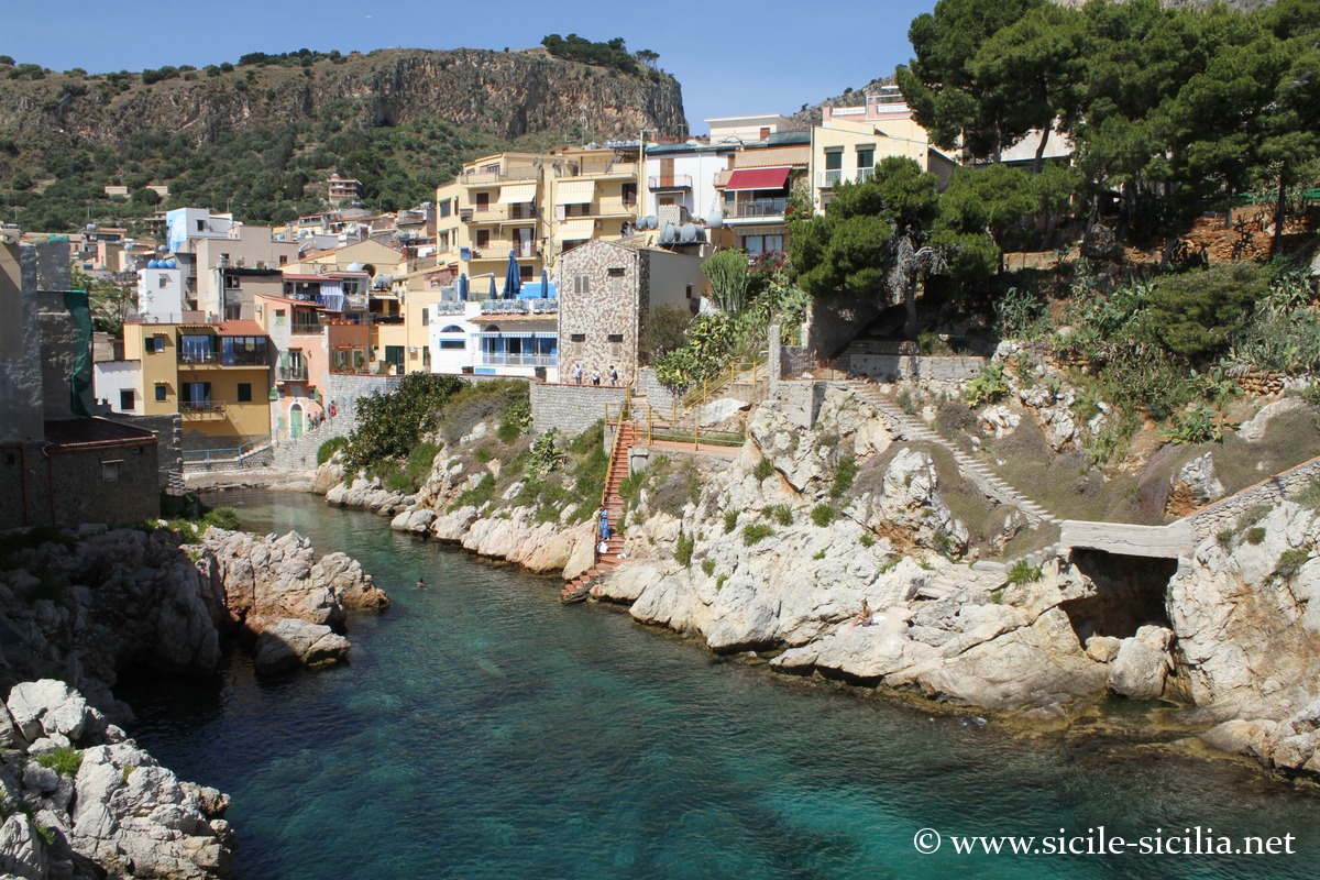
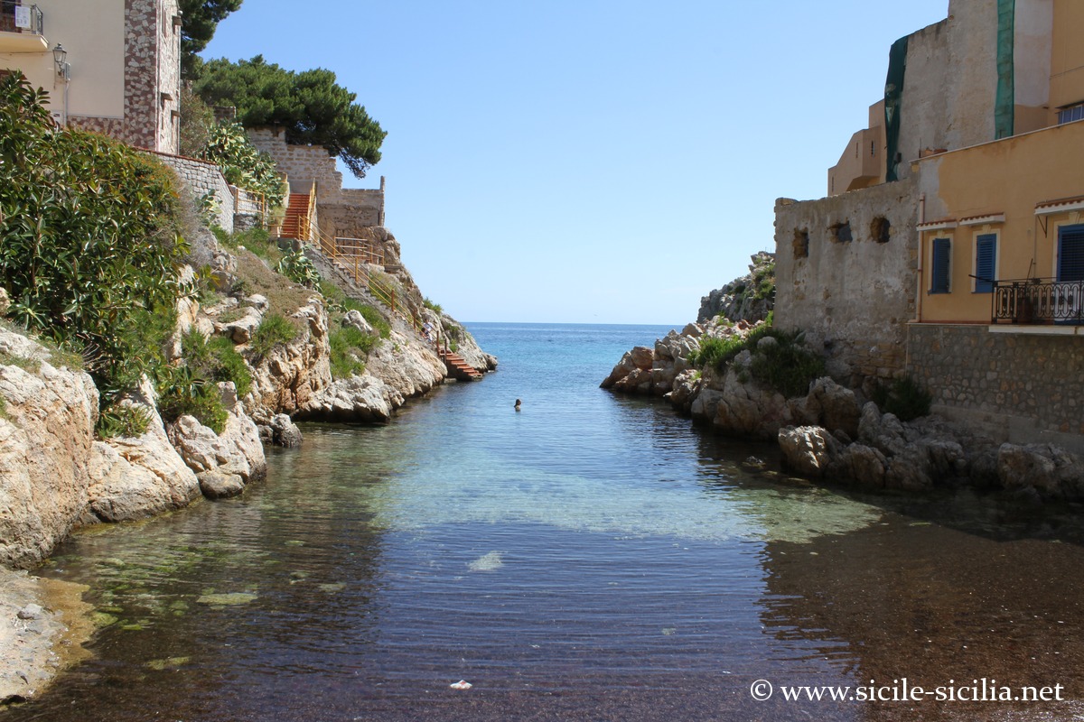
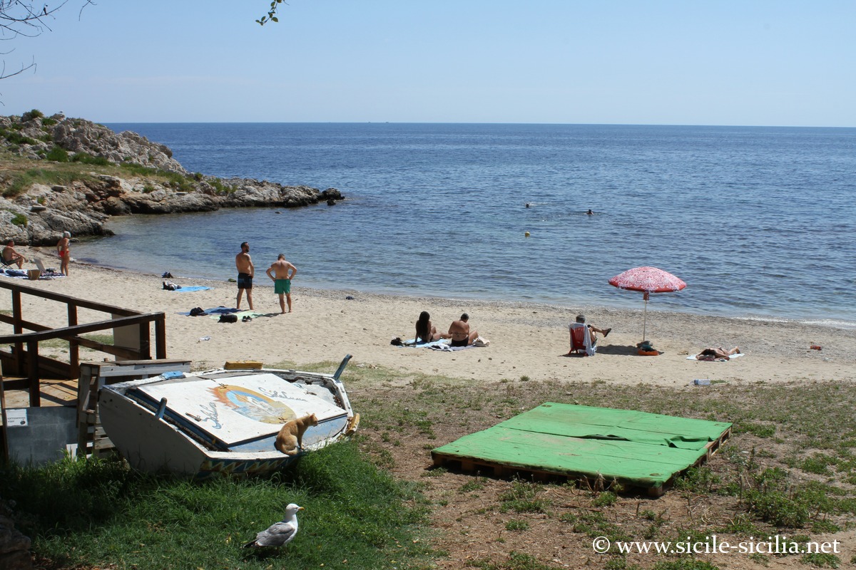
Further north you reach the village of Sant’Elia with its pretty cove and clear waters ideal for swimming.
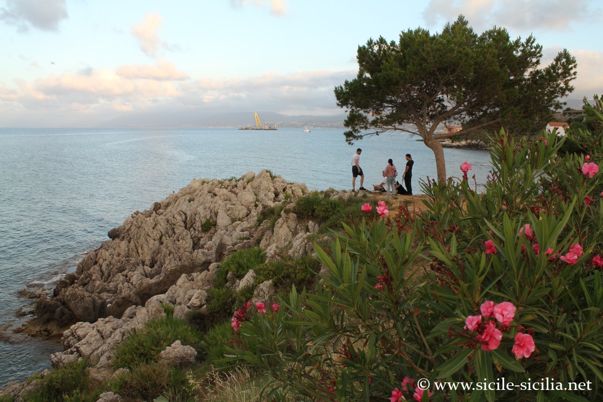
Continuing along the coastline, beaches precede the Zafferano promontory, where a coastal footpath follows the pretty jagged coast as far as the lighthouse.
The Capo Zafferano lighthouse is located at the end of the promontory, a white octagonal lighthouse built in 1884 that continues to guide ships in the Gulf of Palermo.
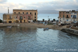

Santa Nicolicchia Borgo 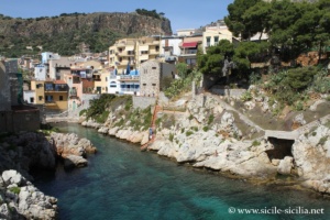
Sant’Elia Cove 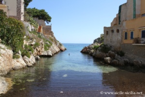
Sant’Elia Cove 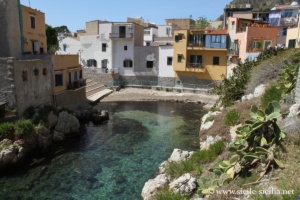
Sant’Elia Cove 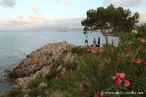
Sant’Elia Point 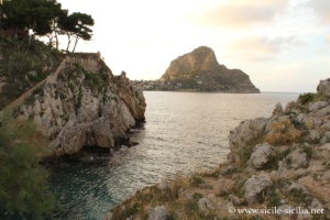
Sant’Elia Cove 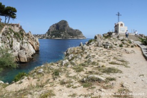
Sant’Elia Cove 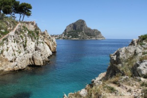
Sant’Elia Cove 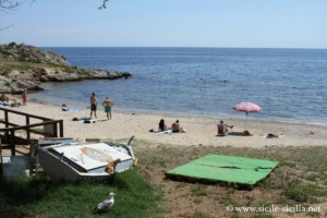
Sant’Elia Beach

Where Mount Catalfano is located: map
If you see this after your page is loaded completely, leafletJS files are missing.
Information
Sources and links
- Mount Catalfano Park: it.wikipedia.org, welcometobagheria.it, www.guidasicilia.it
- Rupi di Catalfano e Capo Zafferano – Sicilia in Rete (English) : sheet detailing the protected natural area
- Capo Zafferano – Visit Santa Flavia (official tourism site) : territorial information on the promontory
- Capo Zafferano Lighthouse – Wikipedia