

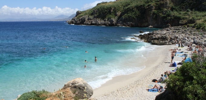
The Zingaro Reserve is one of the most beautiful nature reserves in Sicily, stretching along part of the coast of the Gulf of Castellammare in the north-west of the island, for nearly 7 km.
It was created in 1981, as the first nature reserve in Sicily, following a citizens’ movement that prevented the construction of a coastal road between Scopello and San Vito Lo Capo.
Unfortunately, on 29 August 2020, a fire devastated it, and it remained closed for several months. A large part of its natural wealth was lost and the description given below is partly out of date.
The reserve was closed after a major fire in the summer of 2025 that heavily damaged the site.
As of early 2026, it remains partially closed, for safety reasons and for ecological regeneration.
A gradual reopening began in March 2026, with only certain trails accessible.
Access should widen in the spring (around Easter), but will remain limited for several months.
Presentation of the reserve
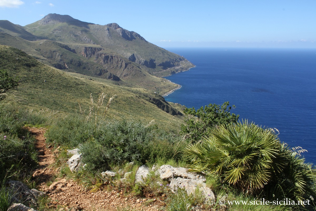
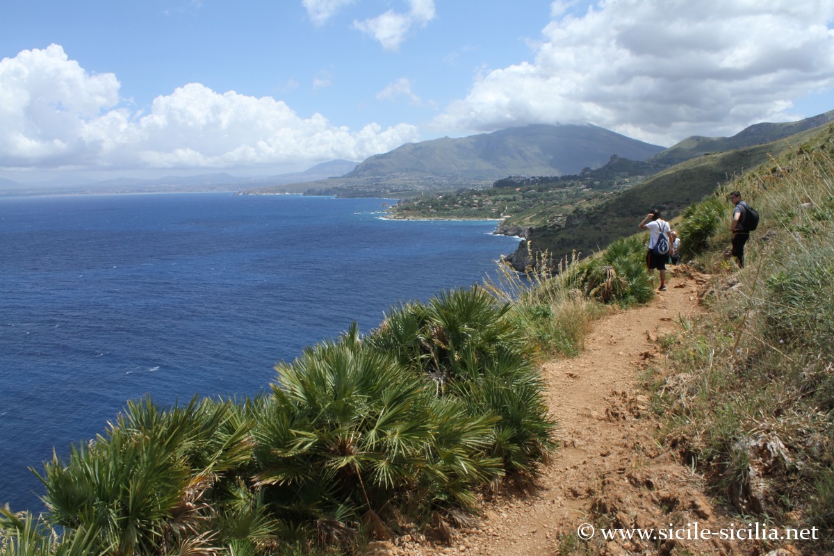
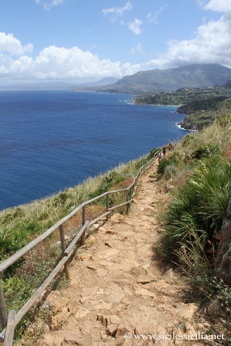
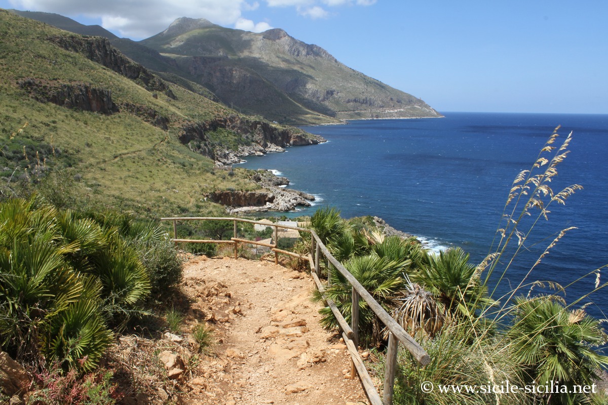
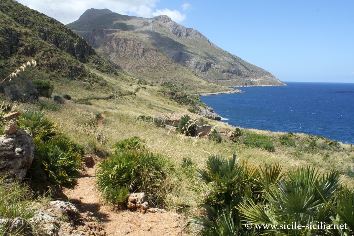
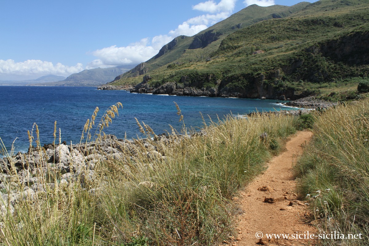
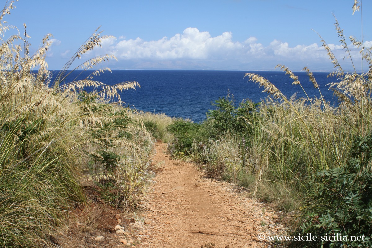
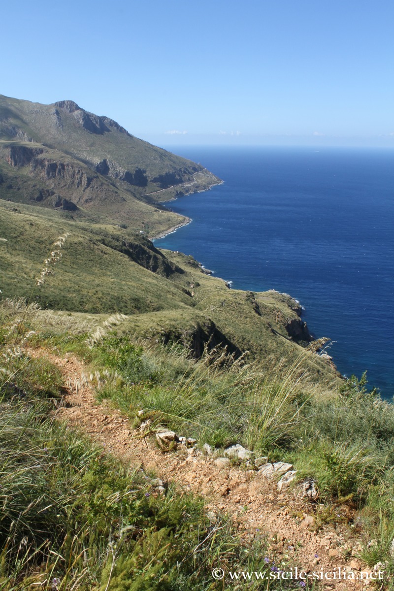
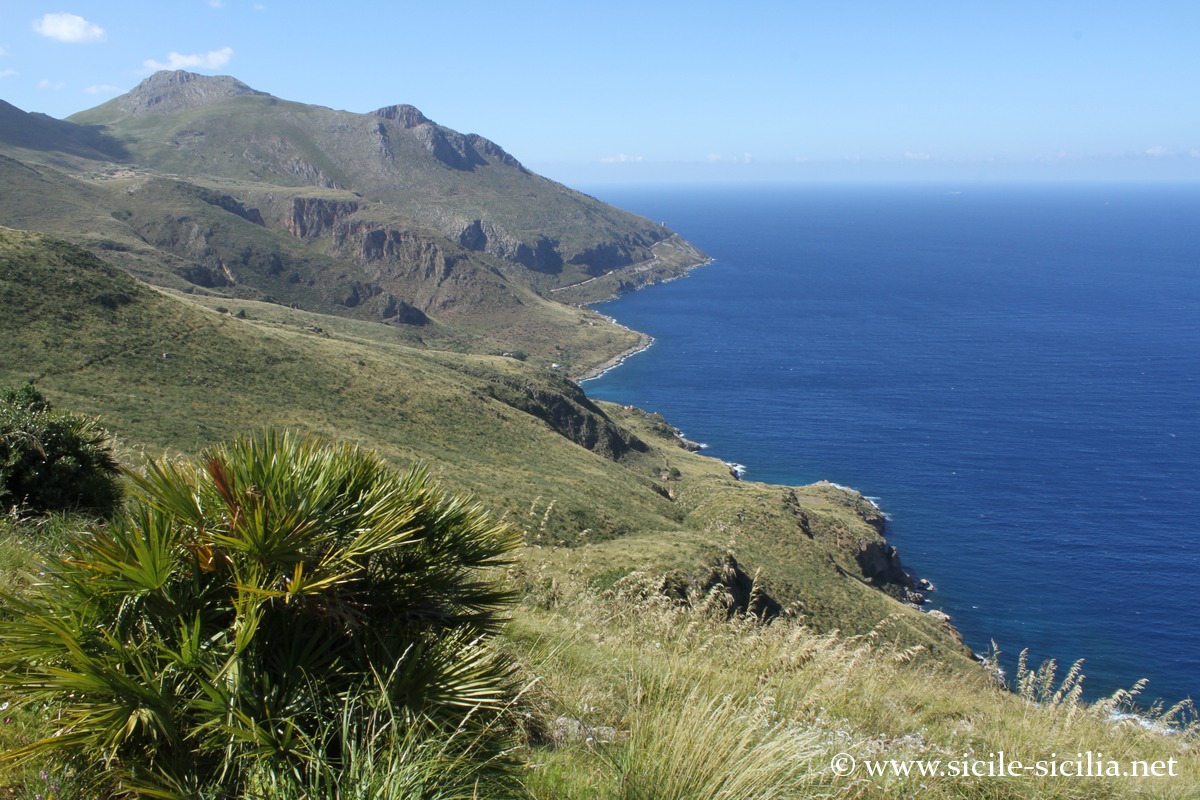
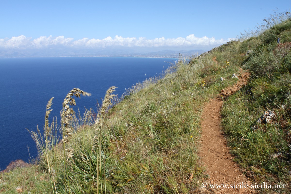
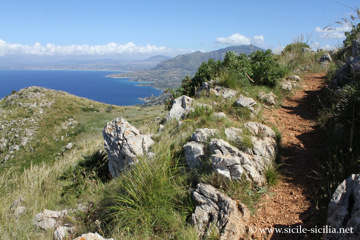
Mid-coast trail of the reserve
There is no road for exploring the Zingaro reserve, which is discovered on foot, and very few buildings.
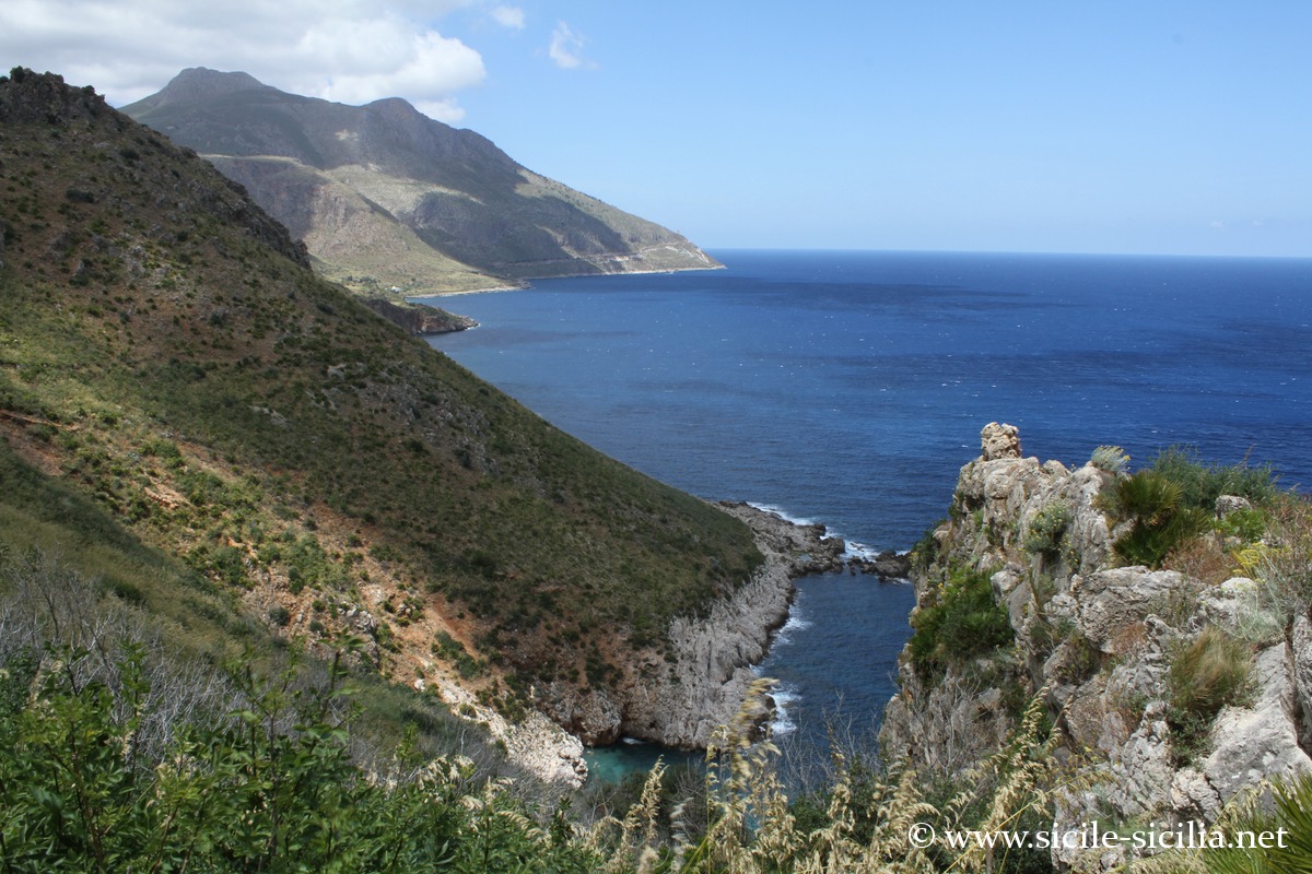
The protected area extends over about 7 km of coastline and covers nearly 1,600 hectares, with an alternation of limestone cliffs, coves and inland reliefs reaching more than 900 m in altitude.
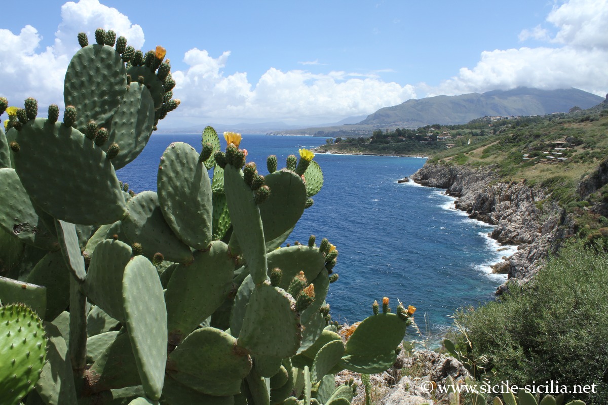
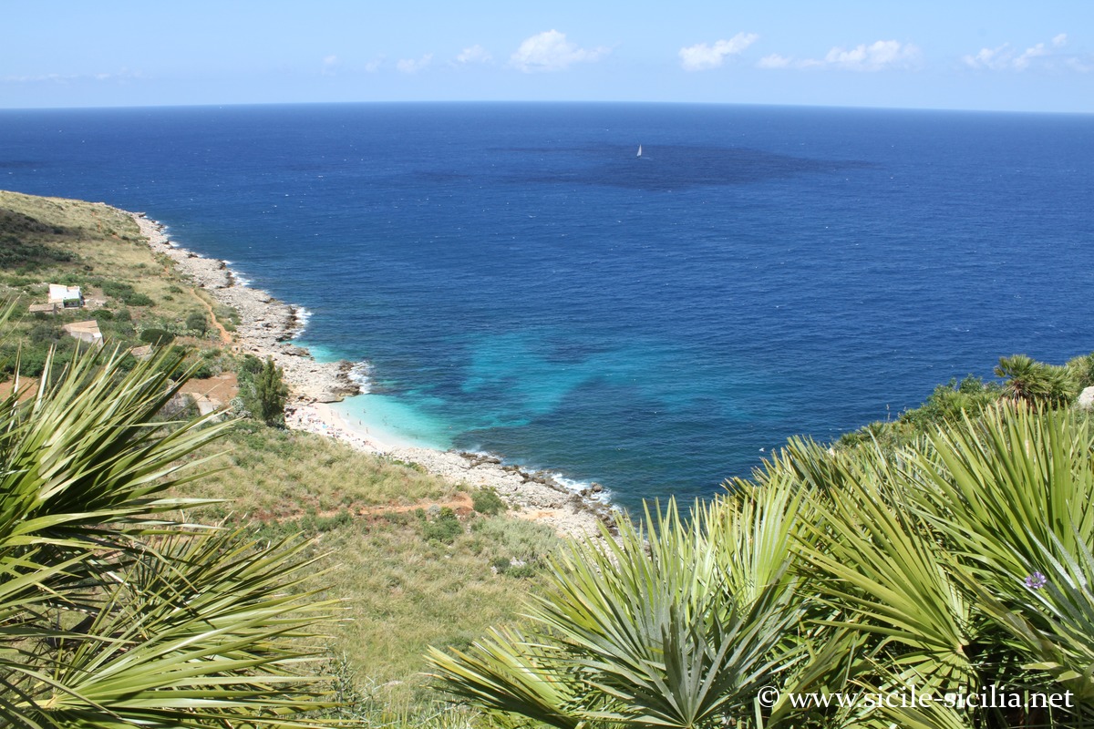
This land has kept the same appearance for many centuries, where the green of its generous nature contrasts with the shades of blue of its waters, sometimes flown over by peregrine falcons. One can thus discover this beautiful coast on foot, encountering junipers, oaks, dwarf palms or olive trees.
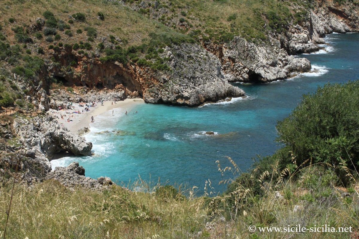
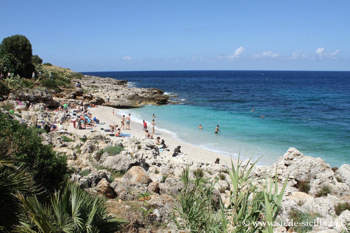
The main coastal trail, more than 7 km long, links the Scopello entrance in the south to the neighbouring one of San Vito lo Capo in the north, passing by many pretty coves with transparent waters irresistibly inviting you to swim. By road, a long detour of nearly 55 km is needed to link these two entrances.
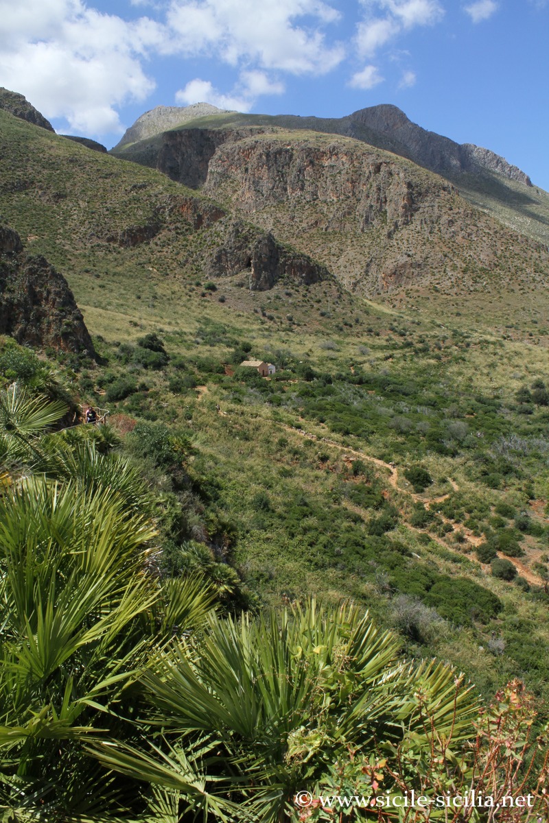
One can also explore the heights along several other paths, between maritime pines and maquis, where sublime panoramas and enchanting places are revealed, such as the Bosco di Scardina wood, the Borgo Cusenza hamlet, or prehistoric caves.
Visiting the Zingaro and its itineraries
Download the map of the itineraries

Map of the itineraries
During the period when the reserve is closed, it is possible to discover its coast with boat excursions.
The reserve can be reached from the south of San Vito, via a coastal road that stops at the entrance of the natural area. The other access to the park is located north of Scopello.
There is an entrance fee: €5 for the full price, €3 for the reduced rate.
Allow at least 4 h to make the round trip along the shortest trail. It is necessary to bring good hiking shoes and water (no water points in the reserve).
The network includes three main itineraries, from the lowest to the highest: the sentiero costiero, the sentiero medio, and the sentiero alto, the latter crossing the highest and least frequented inland areas of the reserve.
After entering from San Vito, in the north of the park, one reaches one of the most beautiful panoramas over the Gulf of Castellammare, preceding the cove of Tonnarella dell’Uzzo, overlooked by a small fishing museum. The tonnarella corresponds to an old tuna trap active until the 20th century, linked to the traditional exploitation of tuna. Very close by is the Museo Naturalistico della Riserva, presenting the geology, endemic fauna and flora, with particular attention paid to protected species.
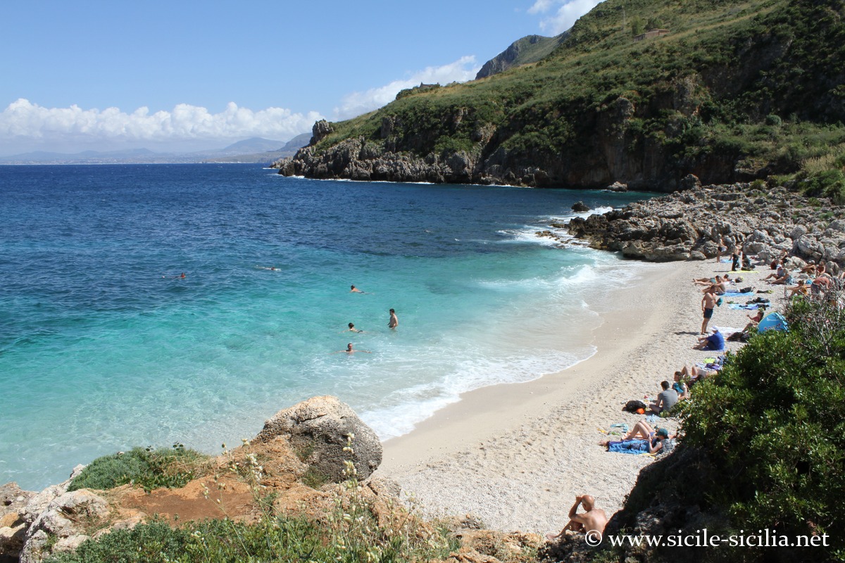
Zingaro Reserve
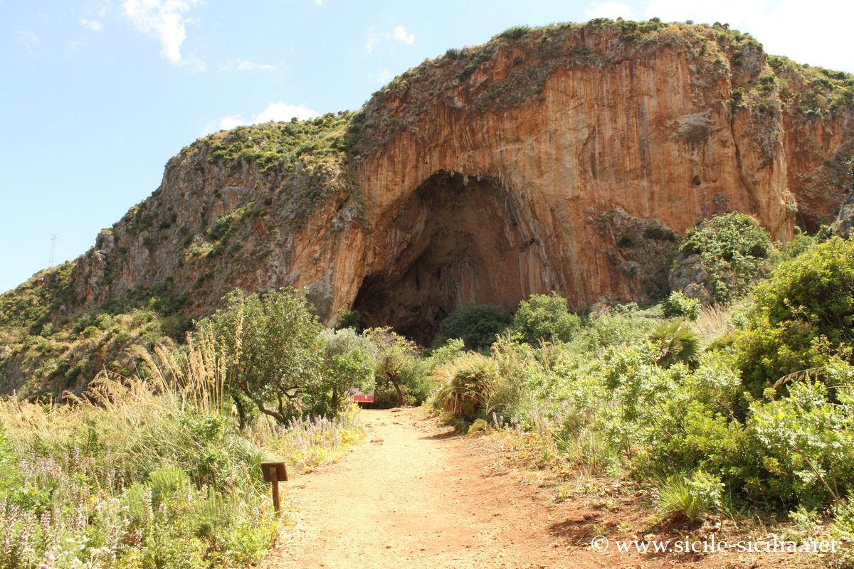
The path towards the Grotta dell’Uzzo, occupied in prehistoric times, passes in front of groves of dwarf palms and varied nature with orchids, almond trees, fig trees, etc. One passes by the Museo della Civiltà Contadina which documents traditional agricultural practices, the use of terraces and the rural economy before the gradual abandonment of the site.
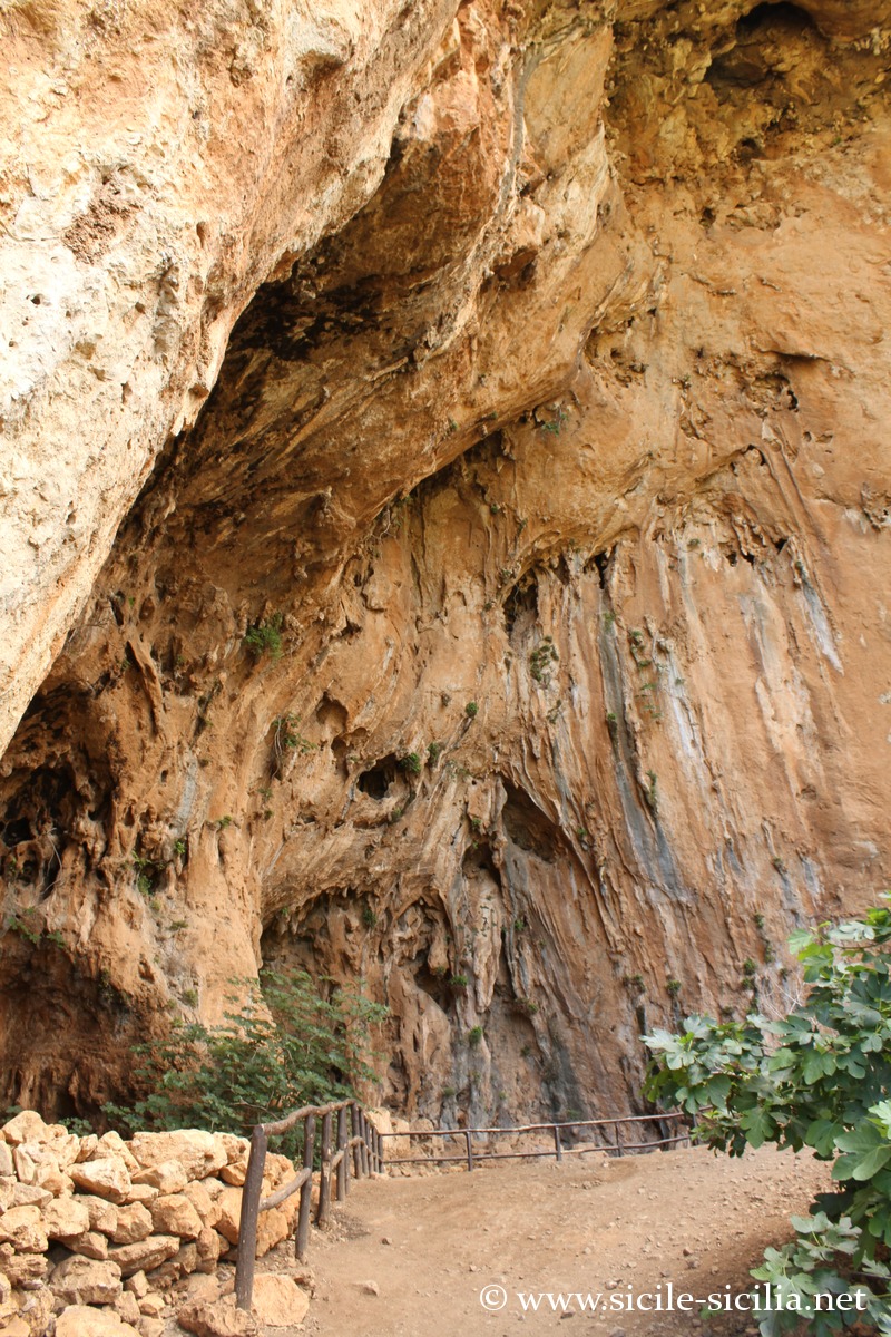
The Grotta dell’Uzzo is one of the major prehistoric sites of western Sicily: excavations have revealed a continuous occupation from the Mesolithic to the Neolithic, documenting the transition from hunter-gatherer societies to agriculture.
The trail from the pretty Uzzo beach below the cave becomes steeper, crossing limestone formations.
One can choose to continue along the coast or take a fork towards the heights and the hamlet of Sughero, or that of Cusenza to the north, and still higher the mount of Monte Passo del Lupo, reaching 700 metres in altitude with very beautiful views. These hamlets preserve remains of recent agro-pastoral occupation (19th–20th centuries), notably sheepfolds, dry-stone shelters and rainwater collection systems.
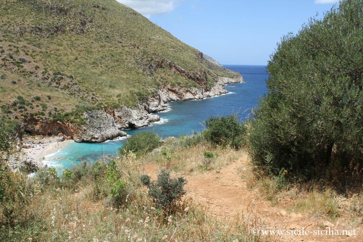
Cala Capreria
Continuing along the coastal path, one passes by the coves of Cala Marinella, then Cala Beretta and Cala della Disa, the Punta Leone before reaching the small Museum of manna at Punta Capreria Grande.
Manna, extracted from the manna ash, was a traditional economic resource: this solidified sap was used in pharmacopoeia and in food until the beginning of the 20th century.
Further on, you reach Cala Capreria, one of the last places suitable for swimming before leaving the park on the Scopello side.
This Cala Capreria marks the geological transition towards the reliefs near Scopello and stands out for the presence of protected ornithological species, notably birds of prey nesting in the rock faces, including Bonelli’s eagle.
Inland, Monte Speziale, the highest point of the reserve at about 913 m in altitude, offers a complete overview of the geographical organisation of the site, from the limestone ridges to the coastline.
Where is the Zingaro reserve and map
If you see this after your page is loaded completely, leafletJS files are missing.
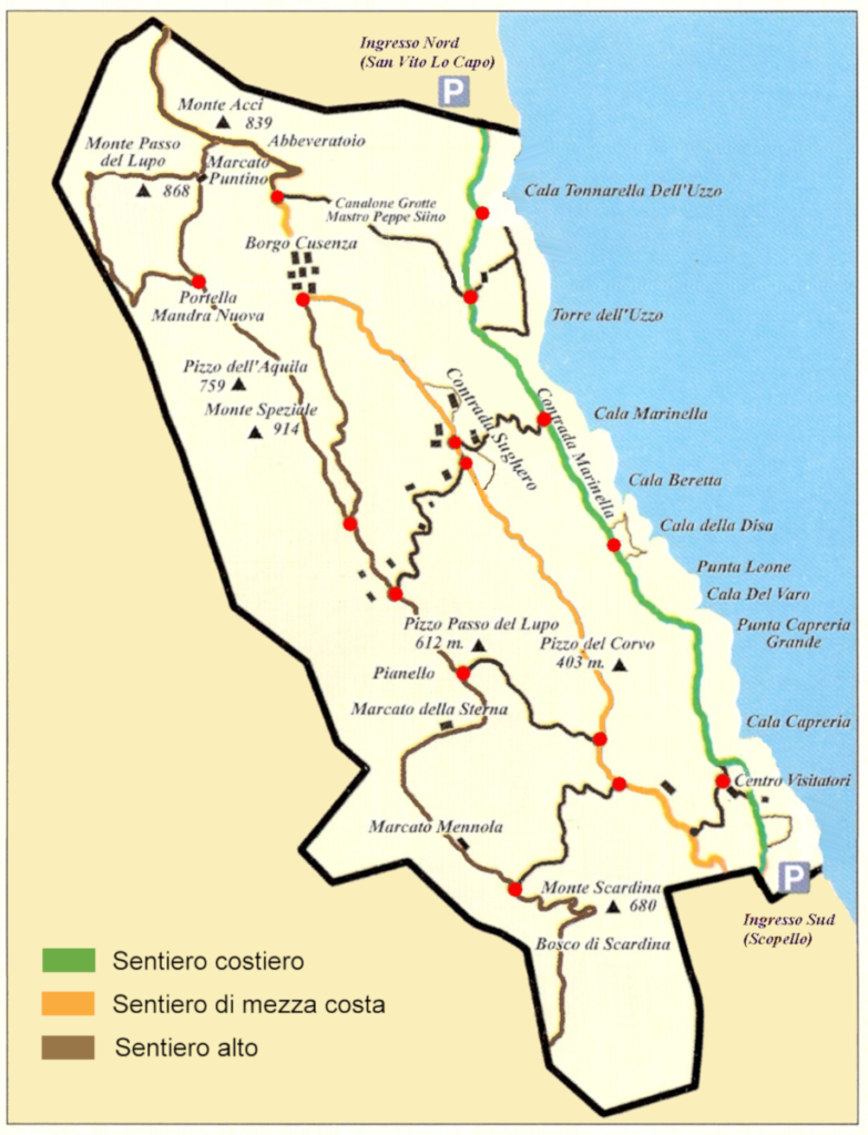

Map of the itineraries 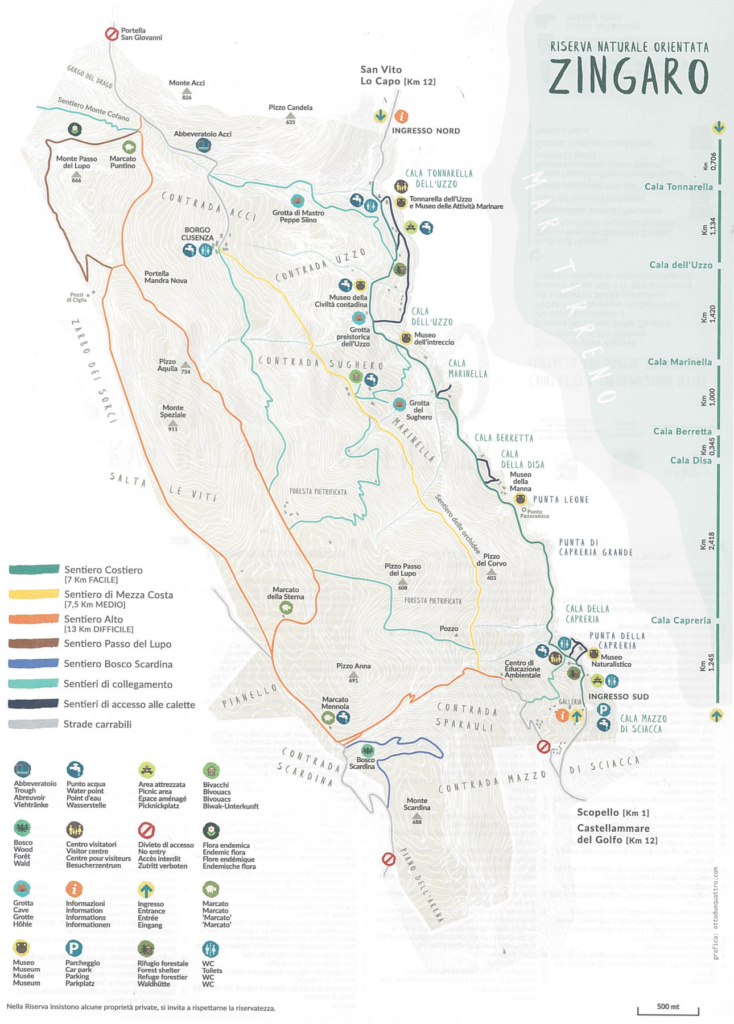

Map of the trails of the Zingaro reserve
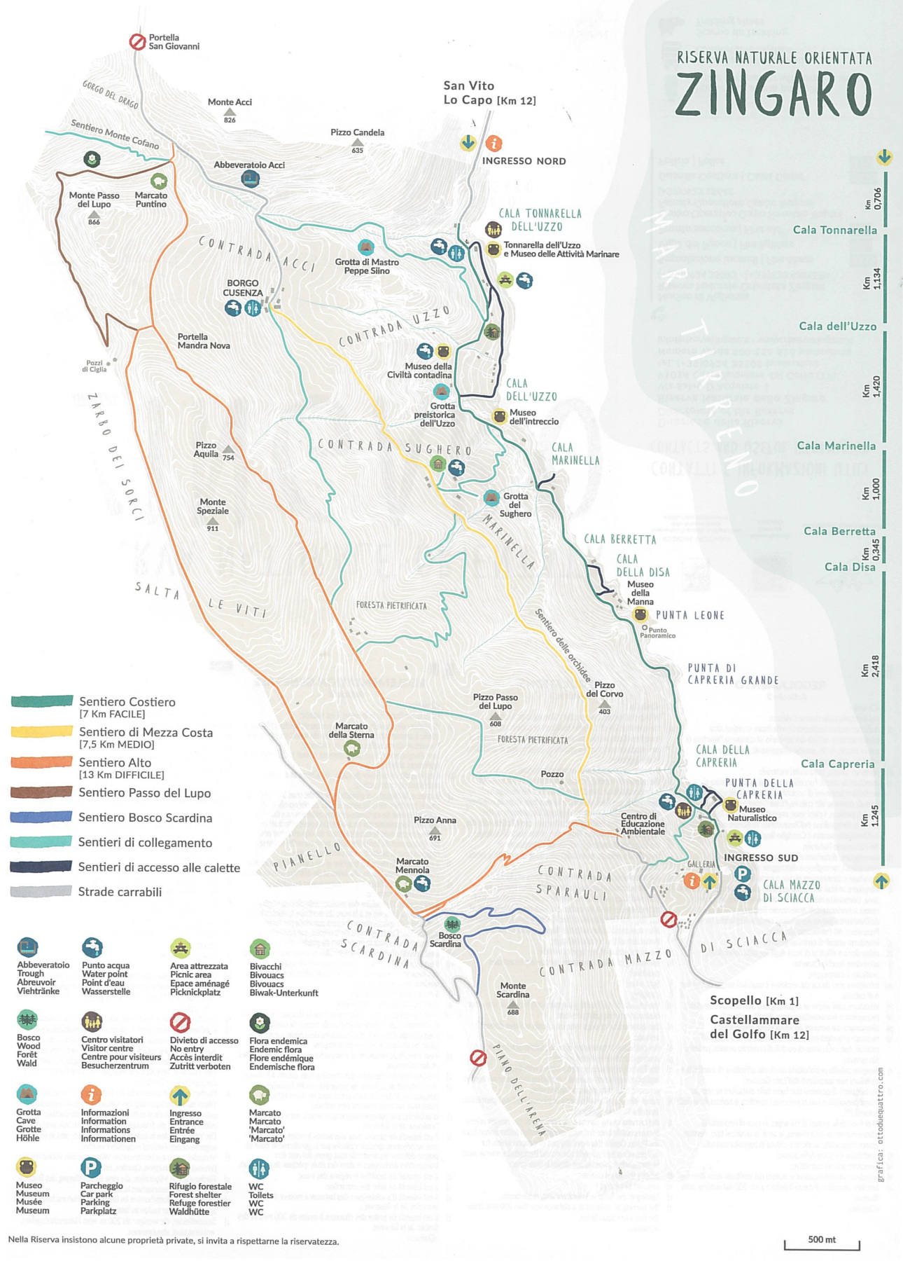
Photo gallery

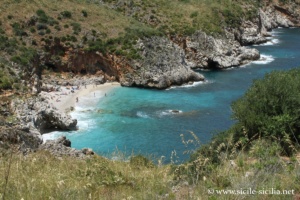
Cala Capreria 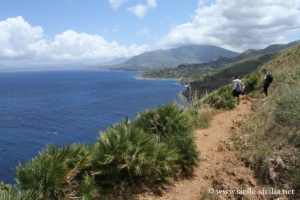
Punta Capreria 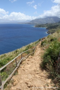

Punta Capreria 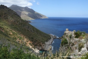
Cala del Varo 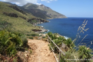
Punta Leone 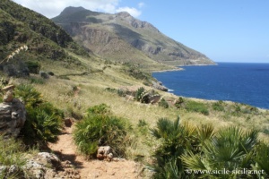
Zingaro Nature Reserve 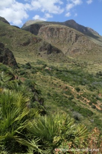
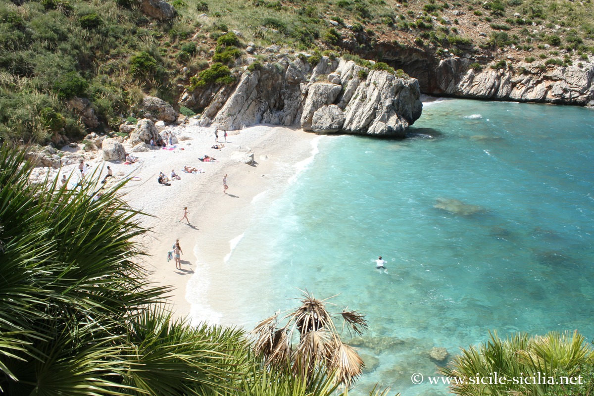
Cala dell’Uzzo 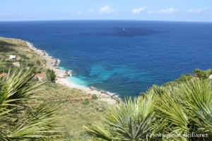
Cala dell’Uzzo 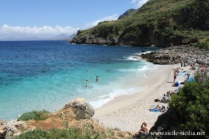
Cala dell’Uzzo 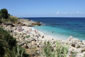
Cala dell’Uzzo 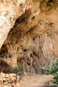
Uzzo Cave 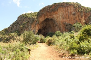
Uzzo Cave 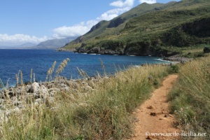
Cala dell’Uzzo 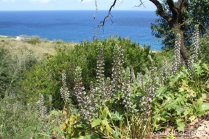
Uzzo Cave 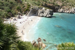
Cala Tonnarella dell’Uzzo 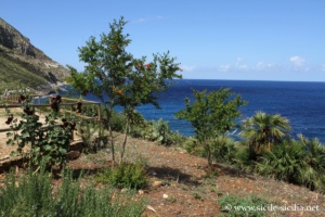
Museum of Maritime Activities 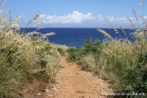
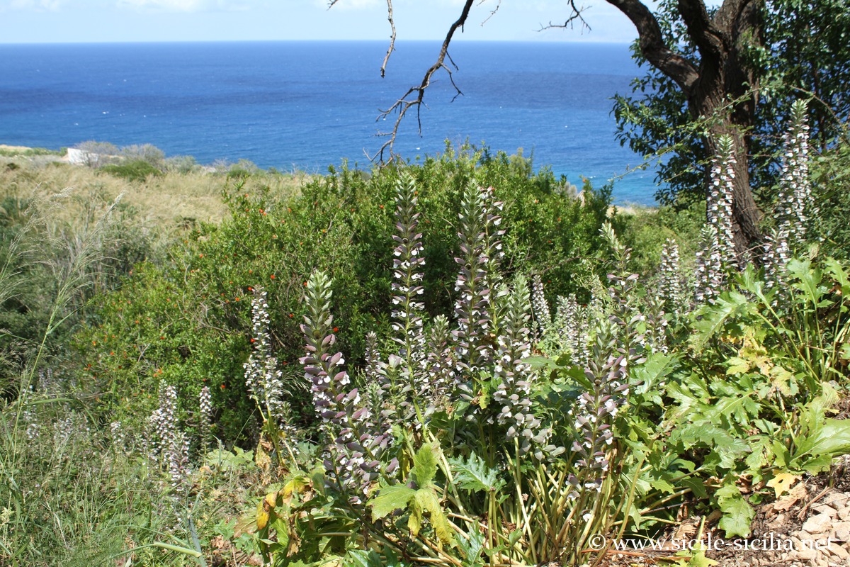
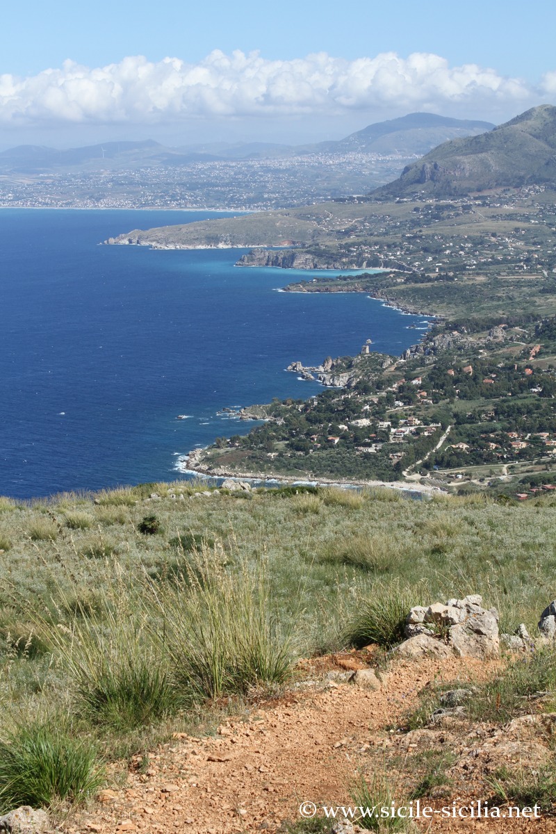
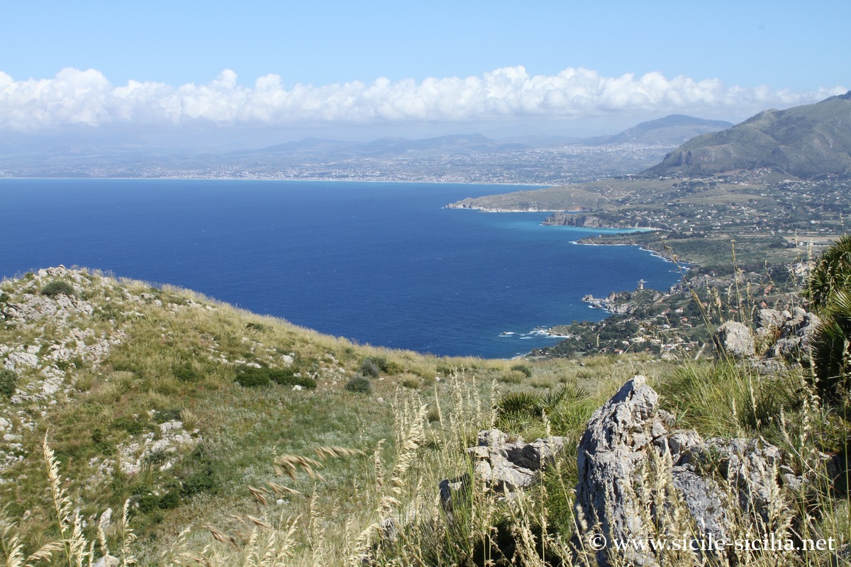
Mid-slope trail between Cala dell’Uzzo and Pizzo del Corvo 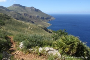
Mid-slope trail between Cala dell’Uzzo and Pizzo del Corvo 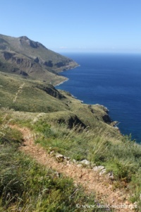
Mid-slope trail between Cala dell’Uzzo and Pizzo del Corvo 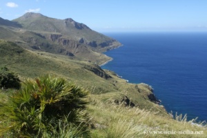
Mid-slope trail between Cala dell’Uzzo and Pizzo del Corvo 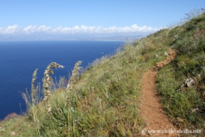
Mid-slope trail between Cala dell’Uzzo and Pizzo del Corvo 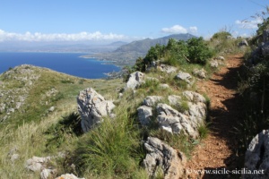
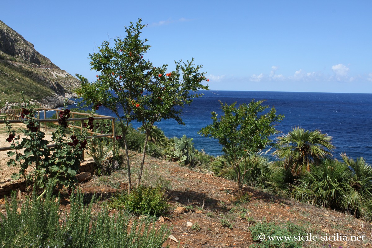
Mid-slope trail, Pizzo del Corvo 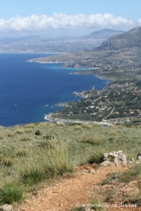
Mid-slope trail, Pizzo del Corvo 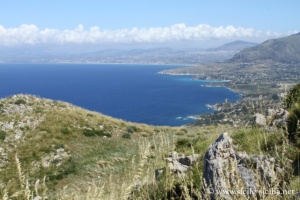
Mid-slope trail, Pizzo del Corvo
Tips for visiting and FAQ
- How much time should you allow for the visit?
The duration of the visit depends on the itinerary chosen. The coastal trail (the shortest) takes about 4 hours round trip without a prolonged swim. The intermediate or high itineraries may take between 5 and 7 hours, depending on the elevation gain and the breaks. - How do you get to the Zingaro reserve?
The reserve has two main entrances: the north entrance near San Vito Lo Capo (Tonnarella dell’Uzzo) and the south entrance near Scopello. Both accesses have car parks located outside the protected area.
From Palermo, allow about 1h30 by road. From Trapani, the journey takes about 1h15.
Note that to link one entrance to the other by car you have to cover 55 km. - Tips for visiting the reserve?
Movement is exclusively on foot (even bicycles are forbidden), along marked trails, in order to preserve the natural environments.
There is no drinking water point, nor any catering service inside the reserve. It is essential to bring enough water, especially in hot weather. - Is swimming allowed?
Swimming is allowed only in certain coves accessible from the trails. It is however not advisable when the sea is rough. No lifeguard service is provided on the beaches. - Is the reserve suitable for children or people not used to hiking?
Some coastal sections are accessible to occasional walkers, but the site as a whole has elevation changes, rocky trails and little shade.
Information
The reserve was closed after a major fire in summer 2025 that severely damaged the site.
As of early 2026, it remains partially closed, for safety and ecological regeneration reasons.
A gradual reopening began in March 2026, with only some trails accessible.
Access should expand in spring (around Easter), but will remain limited for several months.
Former conditions, valid in April 2025
Road access to the south entrance at San Vico lo Capo or the north entrance at Scopello.
Full admission price: €5 / Reduced: €3
Summer hours: from 7:00 to 19:30
Winter hours: from 8:00 to 16:00
External sites
- Official website: www.riservazingaro.it
- Description of the itineraries: www.riservazingaro.it/gli-itinerari
- Wikipedia page: en.wikipedia.org
- Tourism portals and blogs: www.riservanaturalezingaro.com