
West of Catania, the Simeto valley forms a vast region still little visited by tourism. The river, about 113 km long, rises on the south-western slopes of Etna and cuts through spectacular volcanic rock gorges before reaching the Ionian Sea, south of the Catania plain. This valley has always been a strategic passage between the coast and the interior of Sicily. Humans settled there as early as prehistoric times, as evidenced by the numerous archaeological sites, necropolises and remains of ancient cities (Mendolito, Adrano, Centuripe), but also by the medieval fortresses built in Norman times along the course of the Simeto (Motta Sant’Anastasia, Paternò, Adrano), forming a veritable defensive system.
 Show interactive map
 Oasi del Simeto
The lower valley and the mouth of the Simeto form one of the most remarkable natural areas on the island’s eastern coast, protected since 1984 by the Riserva Naturale Oasi del Simeto. Covering nearly 2000 hectares, it forms a landscape of wetlands, lagoons and coastal dunes, where reed beds, meadows and salt ponds alternate. It is home to a rich birdlife — flamingos, grey herons, mallards, kingfishers and harriers — which makes it a favourite spot for birdwatching enthusiasts. Discovery trails allow visitors to explore the natural areas from the sea to the farmland of the Catania plain, notably starting from the Ponte Primosole, a bridge famous from the Second World War.
Motta Sant’Anastasia
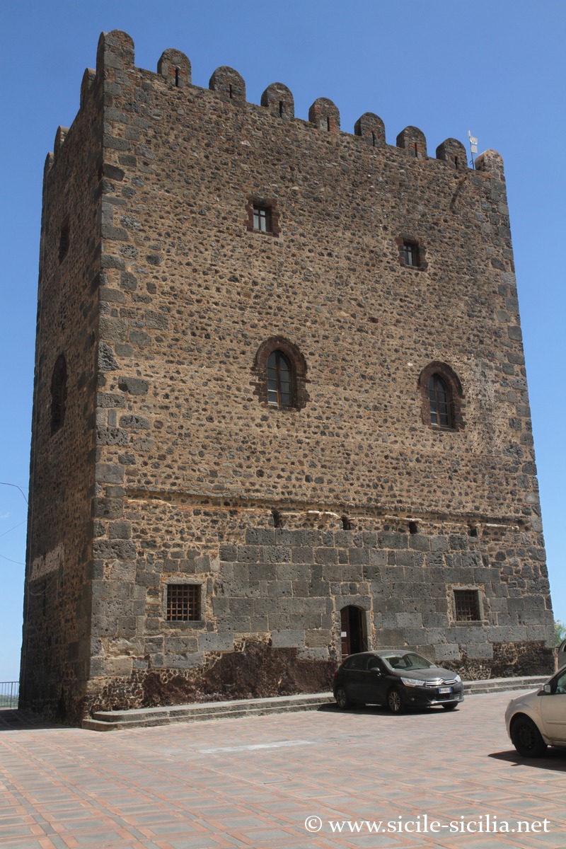
Located about fifteen kilometres west of Catania, Motta Sant’Anastasia overlooks the valley from a basalt outcrop. Its quadrangular tower, or keep, was built between 1070 and 1074 by the Norman count Roger I, probably on the ruins of an ancient Byzantine outpost. Standing 21 metres high, it served both as a watchtower and as a lordly residence. It belongs to the same defensive network as those of Adrano and Paternò.
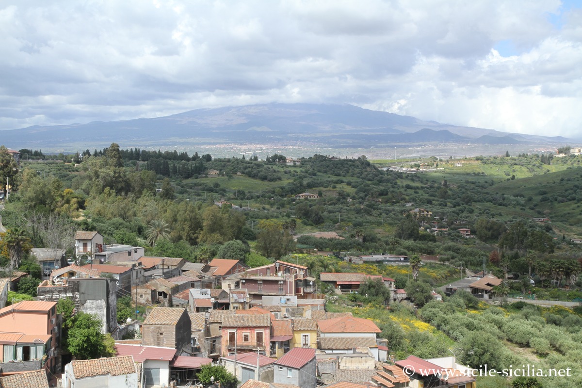
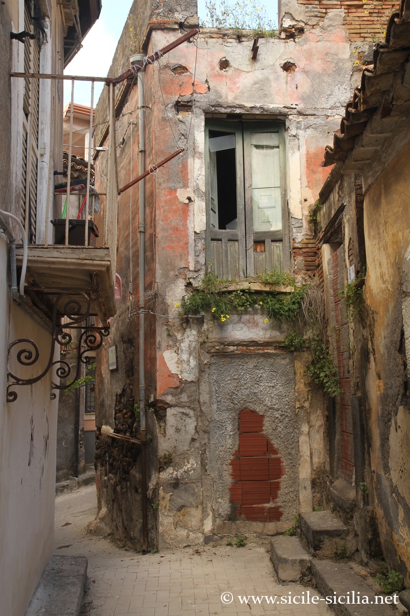
The town, with nearly 12,000 inhabitants, also preserves medieval alleyways and remains of cave dwellings carved into the volcanic rock. It is built on a volcanic basalt neck formed about 550,000 years ago, with a beautiful panoramic viewpoint over the Catania plain and Etna.
A medieval festival is held there every year in August, re-enacting the Arab-Norman period. A German military cemetery (1965, reopened in 2011) contains more than 4,500 Second World War soldiers.
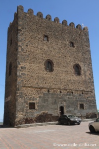
Norman castle of Motta Sant’Anastasia 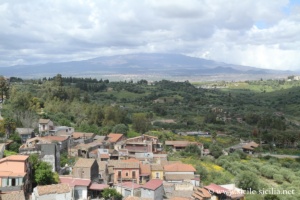
Panorama from the castle of Motta 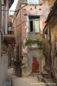
Ruined house of Motta
Paternò
A little further north-west, Paternò spreads over a hill overlooking the lower Simeto valley. The present-day town, with about 50,000 inhabitants, developed from the Middle Ages onwards, although it may have succeeded the ancient city of Hybla Gereatis. The great square Norman keep, built in the 11th century, still towers over the town at 34 metres in height. Its well-preserved interior includes a chapel adorned with medieval frescoes, a hall of arms and a terrace offering a fine view over the Catania plain. Nearby also stands the medieval tower of the Falconieri.
In the surroundings, at Valcorente (5 km to the south-east), one can see the remains of a section of the ancient Roman aqueduct that supplied Catania. To the west, on the river, a few arches of the Roman bridge of Pietralunga still survive. Access to these sites is difficult, as they lie on private land.
The region today lives mainly from agriculture, in particular the cultivation of renowned oranges, such as the Sanguinello, Moro and above all Tarocco varieties, one of the most prized in Sicily. In winter, a festival dedicated to Tarocco oranges takes place.
During the Second World War, Paternò was heavily bombed in 1943, destroyed by nearly 80%, before being rebuilt in the following decades.
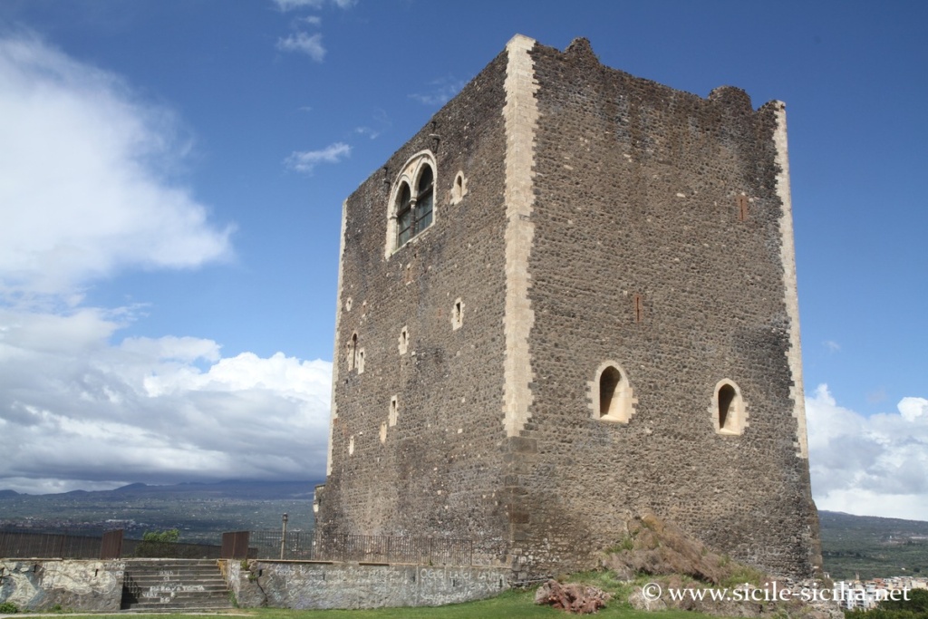

Norman castle of Paterno 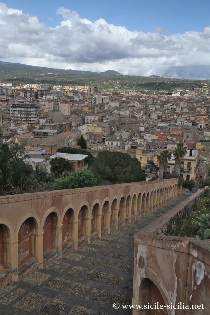

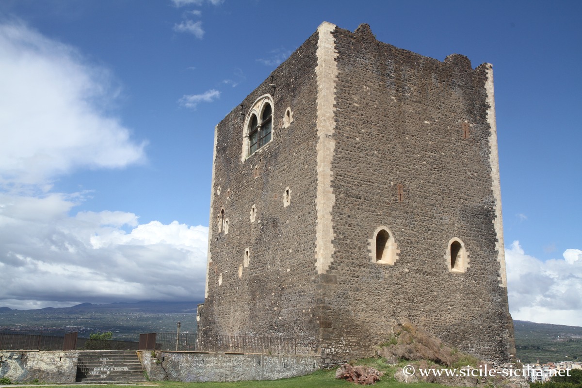
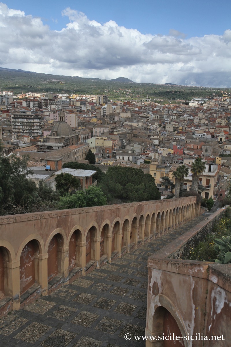
Staircase of the Matrice, Paterno
Adrano
Heading back up the valley, Adrano (36,000 inhabitants) is one of the oldest towns on the slopes of Etna. The first traces of settlement date back to the Neolithic. The Sicels settled there around the 10th century BC, notably at the site of Mendolito a few kilometres to the north, where remains of dwellings, perimeter walls and a vast necropolis have been found.
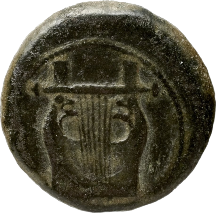
Bronze hemilitron (reverse), seven-stringed lyre
The Greek colony of Adranon was then founded in the 5th century BC by Dionysius the Elder of Syracuse, in order to extend his influence in the region and control the Simeto valley. Its name comes from the Sicel god Adranos, deity of fire and war, linked to the volcano Etna.
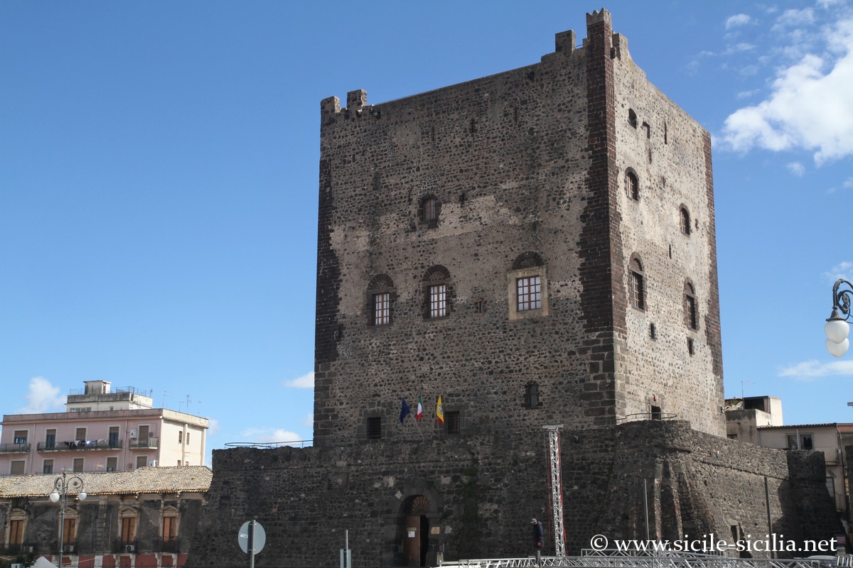
The Norman castle of Adrano, an imposing keep made of volcanic stone built in the 11th century on the foundations of an ancient Graeco-Roman fort, still dominates the historic centre, on Piazza Umberto I. About 33 metres high, it is today the seat of the Regional Archaeological Museum “Saro Franco”, which presents more than 5000 years of local history, from prehistoric tools to medieval objects, with fragments of archaic pottery, funerary urns and Hellenistic material, including artefacts from the Mendolito site (open Tuesday to Sunday, free admission).
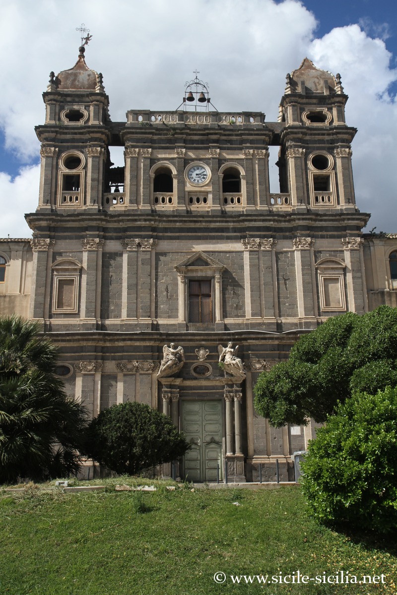
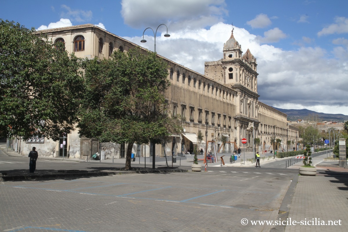
Adrano also preserves several churches of interest, including the Chiesa Madre (featuring a Baroque architectural mix, with basalt columns and works of art), Santa Chiara, and the monastery of Santa Lucia. The latter is a Benedictine monastery founded in the 12th century by Adelasia, enlarged in the 17th-18th centuries. The Baroque church with a three-order facade, Rococo decoration, paintings attributed to local schools, a cloister and the public park in front of the monastery.
To the south of the town, the Dionysian walls (Cyclopean walls) still bear witness to ancient times.
Adrano also has a nature reserve nearby: the Parco dell’Etna and the Parco Fluviale del Simeto. There is a short hiking trail linking Adrano to the Ponte dei Saraceni which crosses the Simeto a few kilometres away.
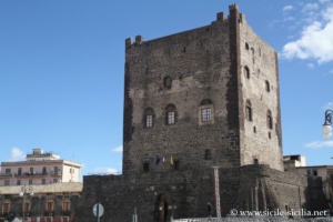

Norman castle of Adrano 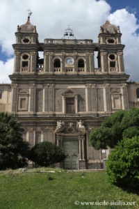

Church and monastery of Santa Lucia 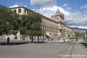
Santa Lucia and Via Roma
The Ponte dei Saraceni and Mendolito
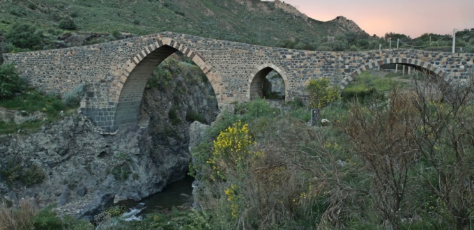
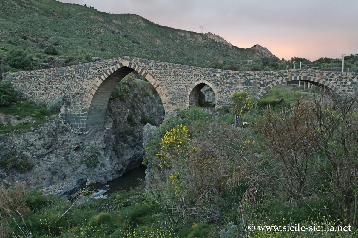
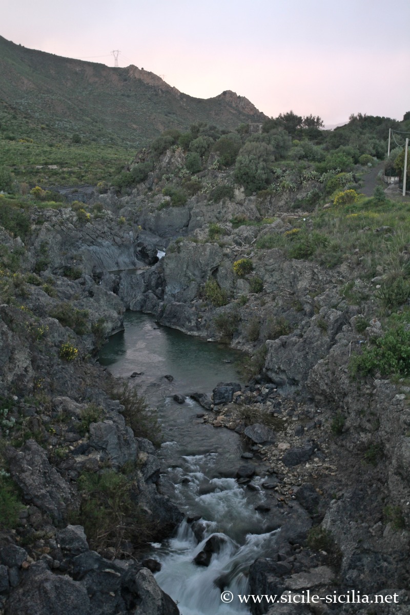
About 4 km north of Adrano, the famous Ponte dei Saraceni (Ponte dei Saraceni) crosses the Simeto in a remarkable natural setting. Of Roman origin, it was rebuilt in the Middle Ages and stands out for its main arch in volcanic stone and its secondary pointed openings. It is one of the best-preserved medieval structures in eastern Sicily. Upstream, the gorges carved by the river offer beautiful panoramas, particularly from the site of the Parco Fluviale del Simeto reserve.
The bridge is accessible on foot from Adrano via a marked trail.
Not far from there, the archaeological site of Mendolito corresponds to an ancient Sicel city occupied between the 11th and 9th centuries BC. One can observe the foundations of a defensive wall, defensive towers and monumental gates. An inscription in the Sicel language discovered at the site is now kept at the archaeological museum of Adrano. This place bears witness to the importance of the indigenous settlement before the Greek colonisation.
Ponte dei Saraceni 
Gorges of the Simeto
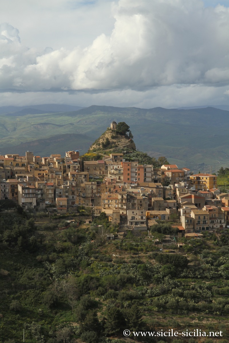
Centuripe (overview)
Overlooking the Simeto valley, Centuripe is an ancient city, occupied at least since the 5th century BC by the Greeks. The town stretches over five ridges whose shape evokes a human figure. The viewpoints are remarkable and the town houses an interesting regional archaeological museum.
→ Read the article on Centuripe
Panorama over the Mount of Calvary of Centuripe 
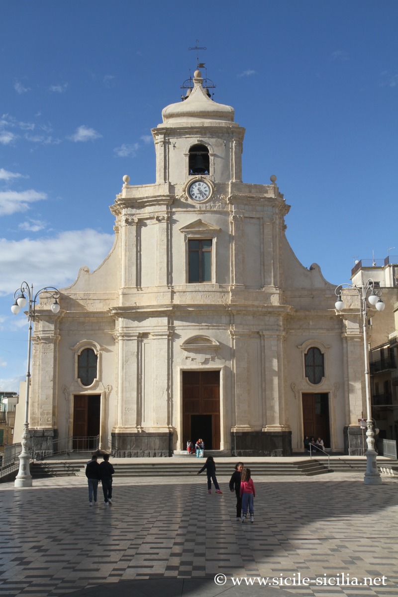
Piazza Duomo, Centuripa 
Bust of Augustus, archaeological museum of Centuripe

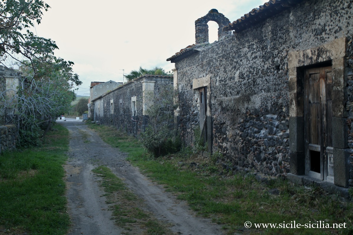
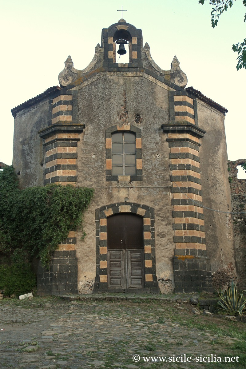
Carcaci, abandoned village
In the territory of Centuripe, the abandoned village of Carcaci (Borgo di Carcaci) is evocative with its picturesque ruins and a small church still standing. Mentioned as early as the 12th century with the Normans, it was a fief. An agricultural village with 150 inhabitants at the beginning of the 19th century, it was gradually abandoned thereafter. The site bears witness to the medieval and modern rural way of life in this isolated region, with an urban layout typical of the 17th-18th century: a regular plan, houses of lava stone, barns and stables, as well as a small church dedicated to Saint Dominic and the lordly residence. The buildings are for the most part in ruins.
Information
Visits and excursions on Etna
Sources and links
- Castle of Paternò – Wikipedia (French) : historical summary, characteristics.
- Ponte dei Saraceni, Adrano – Wikipedia (English but often-cited source) : description of the bridge, its Roman origins and medieval reconstructions.
- Adrano – Wikipedia (FR) : general and historical profile.
- Paternò – Wikipedia (FR) : historical presentation and heritage.
- Motta Sant’Anastasia – Wikipedia (FR) : note on the Norman keep.
- Museo Archeologico Regionale « Saro Franco » – Regione Siciliana (IT/EN) : official website of the museum of Adrano.
- Mendolito (archaeological site) – Fondo Ambiente Italiano (IT) : dossier on the Sicel site of Mendolito.
Articles on Etna
- Mount Etna
 Etna is the highest active volcano in Europe with its 3,330 metres. With its vast ...
 - Centuripe
 Upstream of the valley, on a series of hills overlooking the Simeto, lies Centuripe, an ...
 - Circumetnea, the train around Mount Etna
 The Circumetnea is an opportunity for an original discovery of the Etna region by train, ...
Comments in other languages
A region off the beaten track, in the Sicilian hinterland, striking above all for its large Norman keeps nearly a thousand years old, Adrano is the most pleasant town, Centuripe the most astonishing with its panoramas and its Roman past