
You can very easily discover the territory of Etna by car, passing in particular through the two high-altitude stations, those of the Sapienza refuge and that of Piano Provenzana.
The route proposed here is about 165 kilometres, without the possible detours mentioned, which can be done in a day, starting from Nicolosi, – but getting up early – , or else enjoyed over two days, with for example a stop at Linguaglossa or at Randazzo.
It crosses the most interesting sites of the lower slopes of the volcano.
In addition, several starting points for hikes are found along this route, which are not mentioned here, but which you can consult on the page ascent of Etna or the itineraries listed on the park’s official website.
Road route around Etna
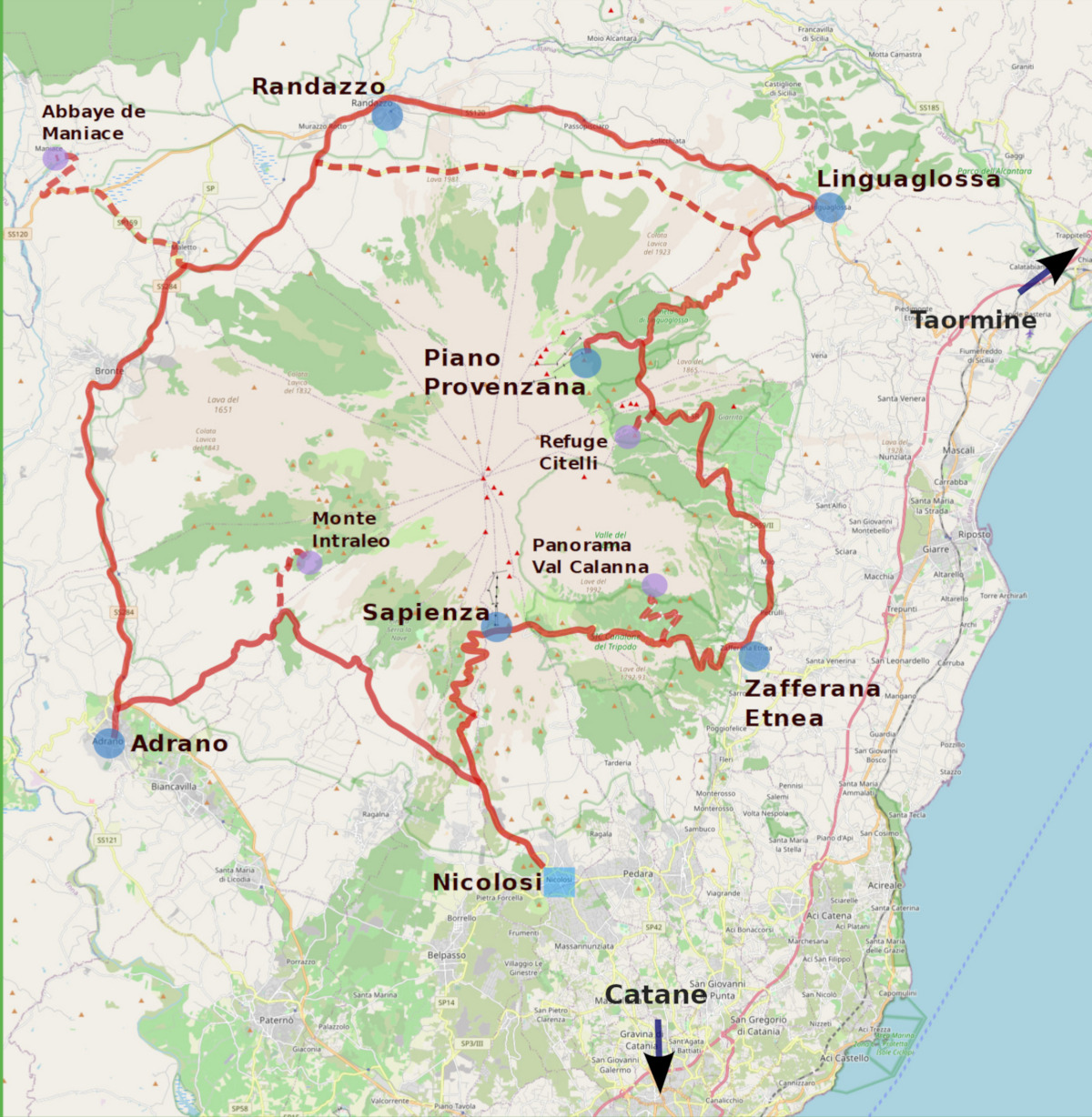
Nicolosi-Linguaglossa
- Starting from Nicolosi, where it is easy to find accommodation, is the headquarters of the Etna Park. This small lively town, both in summer and in winter, is considered a gateway to Etna. Its volcanological museum presents the history and the phenomena that animate the volcano and its territory.
- On leaving the village while heading up the mountain one discovers the imposing mass of the Monti Rossi (Red Mounts in English), the craters that formed during the 1669 eruption, and whose lava flows destroyed part of Catania and plunged into the sea.
- Going up the road making the ascent, one passes at the foot of the park of Mount Vetore (with a summit at 1820 metres altitude), overlooking the Grand Hotel of the Park, an establishment now for sale which served as a base for hikers.
- 4 kilometres of road further up, one reaches the Sapienza refuge (at 1910 metres altitude), the highest point that can be reached by road, with the two beautiful Silvestri craters. From here, the cable car goes up in 15 minutes to Montagnola (2500 metres altitude) from where one can continue the ascent to the summit by an off-road service – or on foot.
- The road then descends to Zafferana Etnea (19 km further), running alongside the southern wall of the Bove valley (Valle del Bove).
- About 11 km from the Sapienza, a 5.5 km road leads to Mount Pomiciaro, (one can continue on foot to Mount Zoccaloro) below the Valle del Bove, with a superb panorama over the Val Calanna, the 1992 lava flows, down to the coast.
We mention an amusement park for young and old, Sicilia in Miniatura, less than 4 km before arriving at Zafferana, with several itineraries, one to discover the world of dinosaurs, the ice age, the past of Etna and Sicily in miniature with the most prestigious monuments of the island.
- Zafferana Etnea has a very pretty central square, with a terrace from which the view stretches to the sea and on the other side towards the summit of Etna.
- From Zafferana one continues 7 km towards Milo, then Fornazzo where one takes the road that climbs the south-eastern slope of the volcano.
- After 12 km of ascent, a junction leads to the Citelli refuge located in an ancient crater at 1740 metres altitude. Halfway, a path leads to the Sartorius Mounts, effusive vents that appeared in 1865.
- Taking the road again following the ascent, one crosses the lava flows from the previous mounts, and less than 3 km further, one takes the road leading to Piano Provenzana (1810 metres altitude), where one arrives after crossing part of vast and ancient pinewoods.
It is, along with the Sapienza, the other high-altitude station, where one also finds an off-road service leading to the summit craters. In winter one can enjoy the ski lifts and the cross-country ski slopes. In 2002 a lava flow destroyed part of the station. A path climbs this flow up to the eruptive vents, about 30 minutes on foot. - One descends towards Linguaglossa (at 19 km) crossing the pretty pine forest. In this town, at the centre of the wine production of Etna Rosso, the ProLoco hosts a small museum devoted to the flora, fauna and geology of Etna, as well as an ethnographic section with objects from ancient agricultural and craft activities.
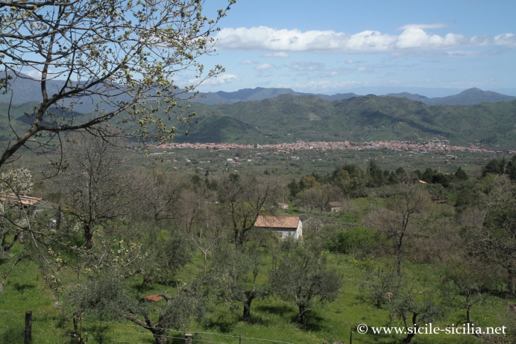
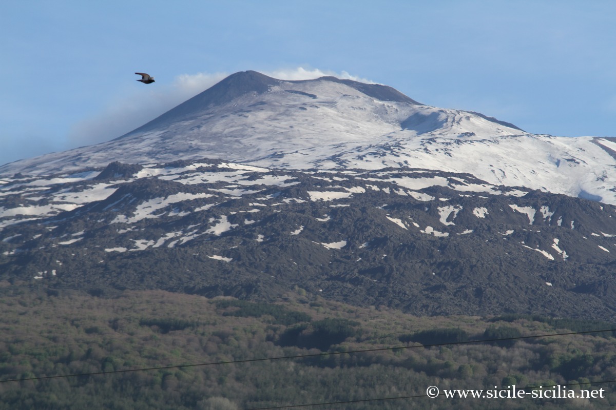
Panorama descending from Provenzana towards Linguaglossa
Linguaglossa-Adrano
- Continuing towards Randazzo (20 km further) along the SS 120, one crosses several small villages located in the heart of the wine-growing area.
An alternative road to get to Randazzo is the SP Etna Settentrionale, which one takes from a junction located while descending from Piano, 3.5 km before arriving at Linguaglossa. It cuts across the northern slopes of Etna at a higher altitude than the previous one, joining the surroundings of Randazzo, without crossing the vineyards or the villages, but crossing several lava flows in a rather wild landscape.
- Shortly before Randazzo, one crosses the 1981 flow which seriously threatened the town. Located on the banks of the Alcantara, it is one of the most interesting towns of the Etna tour, preserving a medieval imprint with its facades of black volcanic stone, beautiful monuments and two museums (one devoted to natural sciences, the other to archaeology).
- After Randazzo, following the SS 284, a junction about 11 km further leads to Maletto, from where one can make a 10-kilometre detour along the SP 159 to visit the Abbey of Maniace, founded in 1174. It was given by Ferdinand II of Bourbon to Admiral Nelson in 1799, where the former residence of his family is designated “Nelson’s castle”.
- Continuing along the SS 284, one crosses the Maletto plateau up to Bronte (at 6 km from the junction for Maletto), known for its pistachio crops.
- 16 km after Bronte, Adrano is another town that preserves an interesting heritage, with the Norman Castle housing the Archaeological Museum.
- From Adrano, one continues by leaving the town via the contrada Roccazello (or via Solichiatta), along the SP Monte San Leo, towards Nicolosi (formerly Trazzera Adrano-Bivio Sicilo), crossing olive trees, almond trees and vineyards, then the chestnut groves of the Feliciosa. At a junction one can make a detour to Mount Intraleo (approx. 4 km).
- One then descends towards Nicolosi to close the loop by taking, at the end of the route, a portion of the SP 92.
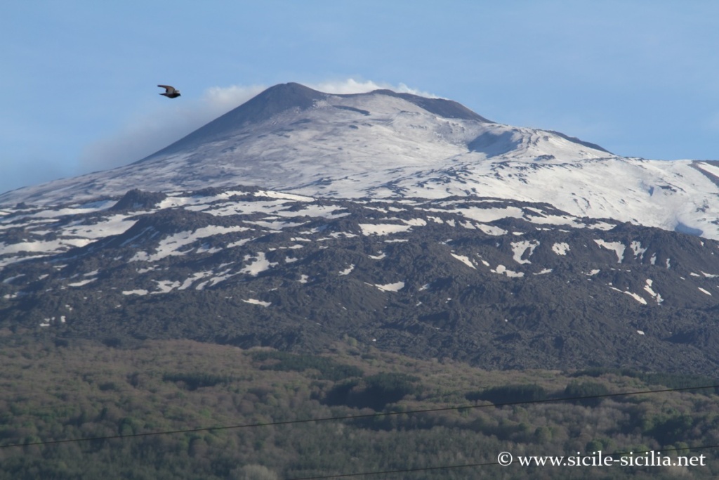
Northern side of Etna, SS 120
Information
External sites
- Park’s official website: www.unescoparcoetna.it/fr
- Wikipedia page
- Interactive map with the various points of interest: www.unescoparcoetna.it/mappa-interattiva
- Paths, maps and places of the park: www.etnaexcursion.it, www.unescoparcoetna.it/sentieri, www.parks.it, commons.wikimedia.org
Articles about Etna
- Mount Etna
 Etna is the highest active volcano in Europe with its 3,330 metres. ...
 - Hotels near Mount Etna
 Hotels near Mount Etna and its surroundings in Sicily, farm stays, bed ...
 - Mount Etna and park excursions
 Landscapes of the volcano Around the central crater of Etna, 3323 metres high, ...
 - Etna eruptions seen from the sky
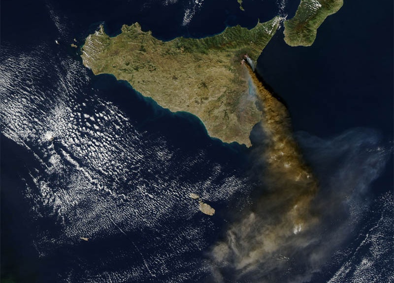 Etna Category
 - Centuripe
 Upstream of the valley, on a series of hills overlooking the Simeto, ...
 - Alcantara Valley and Gorges
 The beautiful Alcantara Gorges are located in the valley of the Alcantara ...
 - Castiglione di Sicilia
 At the foot of the northern slope of Etna, the village of ...
 - Randazzo
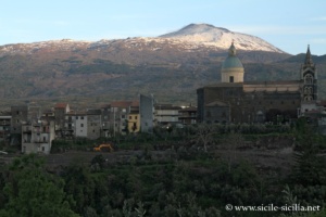 Randazzo is a charming medieval village perched at about 765 m above ...
 - Simeto Valley, Paternò, Adrano
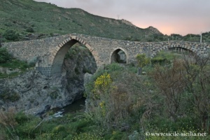 West of Catania, the Simeto valley forms a vast region still little ...
 - Circumetnea, the train around Mount Etna
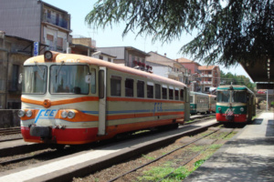 The Circumetnea is an opportunity for an original discovery of the Etna ...
 - Zafferana Etnea
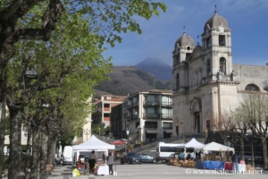 Zafferana Etnea is a Sicilian village perched at about 600 metres above ...
 - Nicolosi
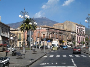
 A few kilometres from the craters of Etna, Nicolosi is one of ...
 - Destinations near Mount Etna
 Destinations near Mount Etna in Sicily, including Catania at the foot of ...
 - Activities on Etna, guided tours and excursions
 Booking of activities on Etna, excursions on the volcano and in its ...