
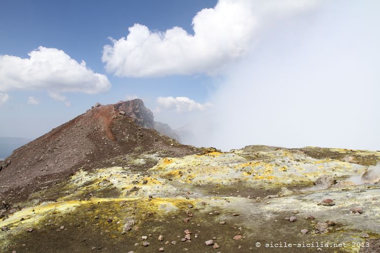
Landscapes of the volcano
Around the central crater of Etna, 3323 metres high, there are many secondary craters.
As you progress along its slopes, the landscape changes a great deal. Thus up to 2000 metres the nature is composed of rich and luxuriant vegetation, where citrus fruits and vines grow, whereas below 1300 metres pines, oaks, chestnut trees, beech trees and others dominate.
Between 2000 and 2500 metres, only junipers, mosses, wormwoods, and endemic species such as the Etna violet grow.
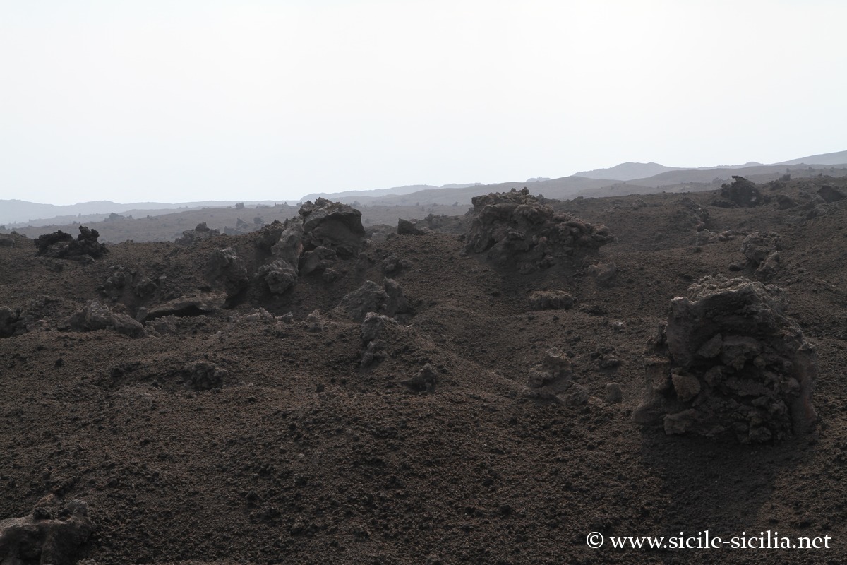
Higher up the landscape becomes almost lunar.
Excursions and ascent of Etna
One possibility for discovering the flanks of Etna is to take the Circumetnea, a small train that makes three quarters of the tour of the volcano in nearly 3 hours, over 110 km, crossing villages and lava flows, linking Catania to Riposto. It is not a closed loop, but one can take a train on the Messina-Catania line to close the tour (see the article on the circumetnea).
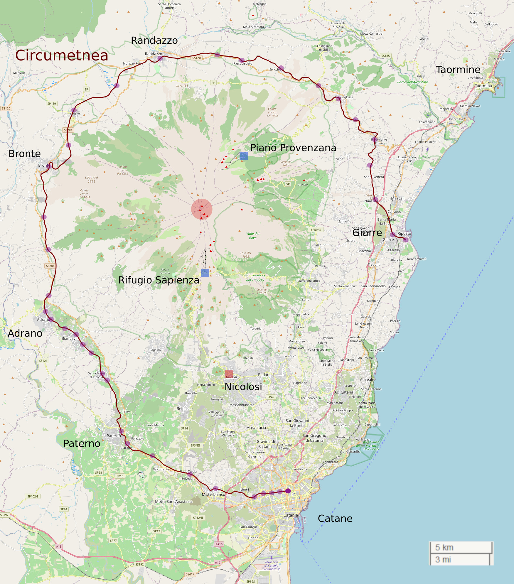
General map of the surroundings of Etna
Two roads climb part of the flanks of the mountain: one to the north-east which reaches the Piano Provenzana refuge, and the other to the south which leads to the Sapienza refuge. The latter is served by public transport, whereas the north side is perhaps the most spectacular.
These two refuges are the main starting points for making the rest of the ascent on foot. Access may be restricted, or even forbidden, if the volcano is in a period of activity.
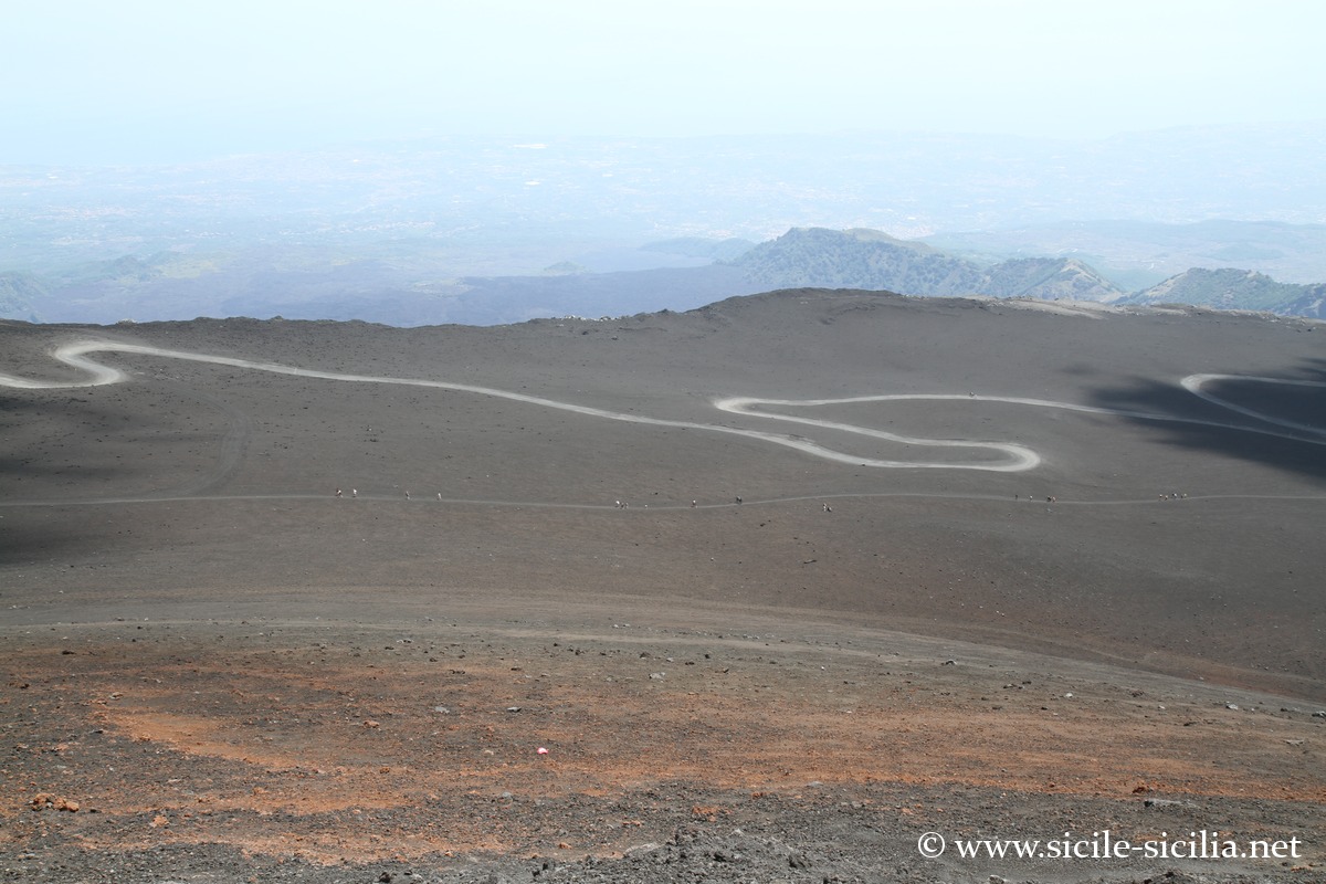
South side first, from the Sapienza refuge which is at 1900 metres altitude, located near the Silvestri craters, one can continue the ascent on foot, by off-road vehicle, or take the cable car to reach Montagnola (2648 metres).
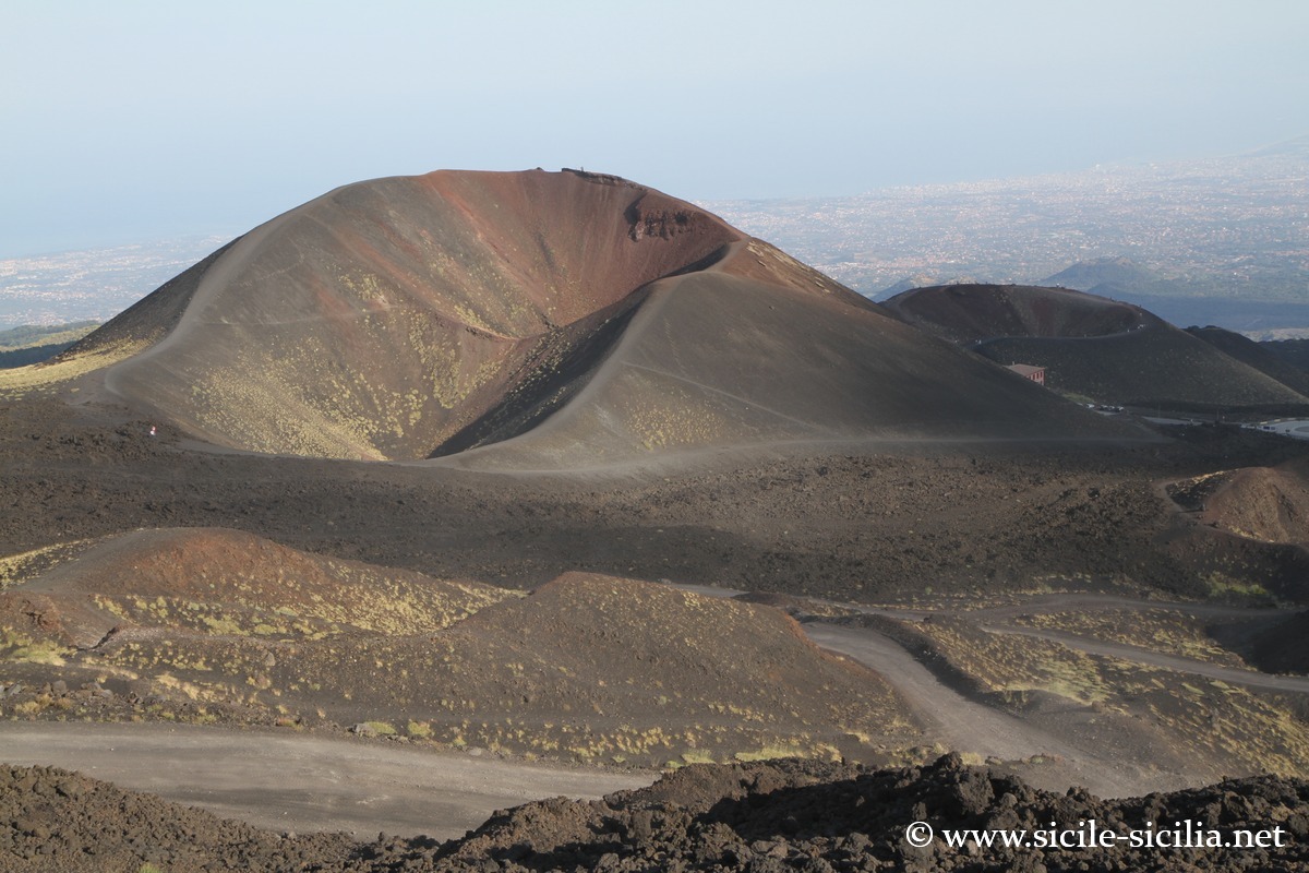
Silvestri craters
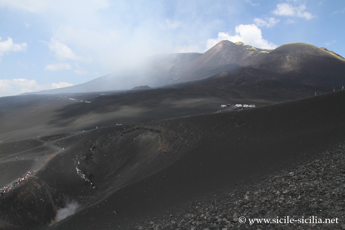
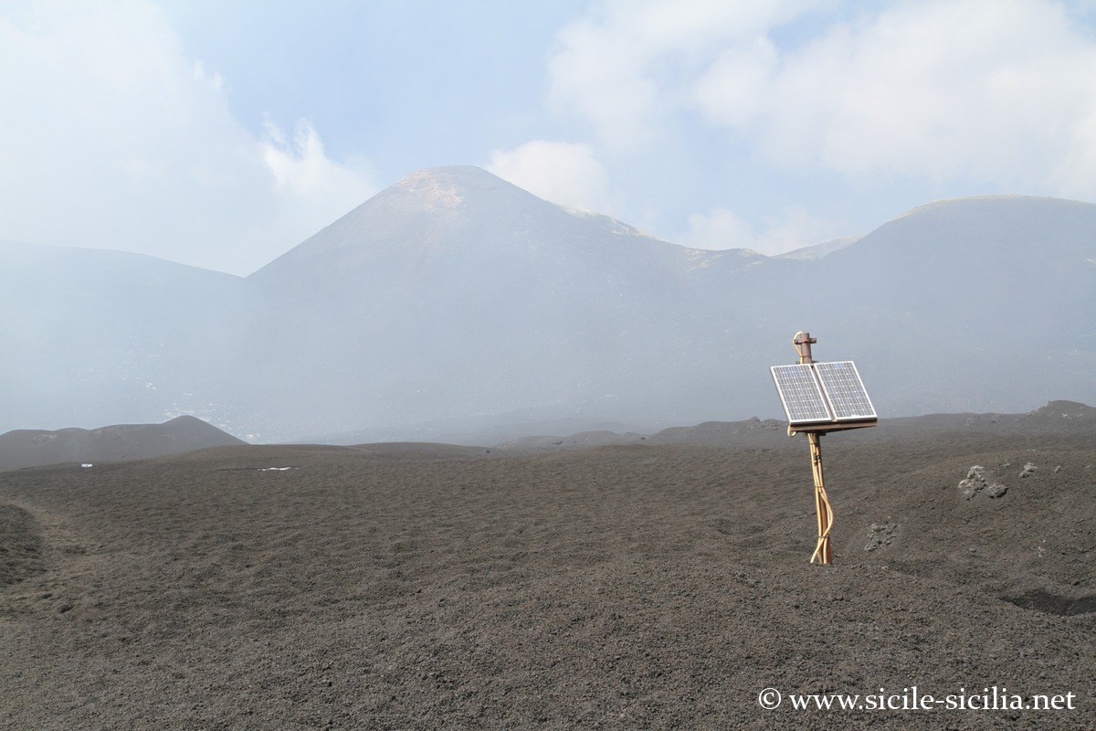
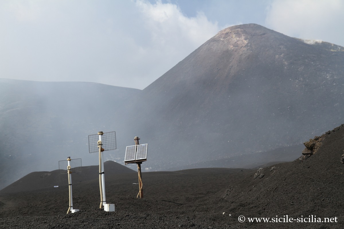
From Montagnola, one can continue the ascent to reach the Bocca Nuova (3300 metres), the central summit crater, passing by other craters such as Monte Frumento (2830 metres). Accompaniment by an official guide is generally compulsory.
On foot it takes 3h30 without rushing to link Sapienza to the central crater (9 km, 1300 metres of elevation gain), 2 hours from Montagnola (6 km, 750 metres of elevation gain).
On the north-east side, the ascent on foot between Piano Provenzana and the central craters takes nearly 4 hours (12 km, 1500 metres of elevation gain).
Other trails run across the volcano (see this interactive map of the trails), passing through lava flows, craters, caves, or woods.
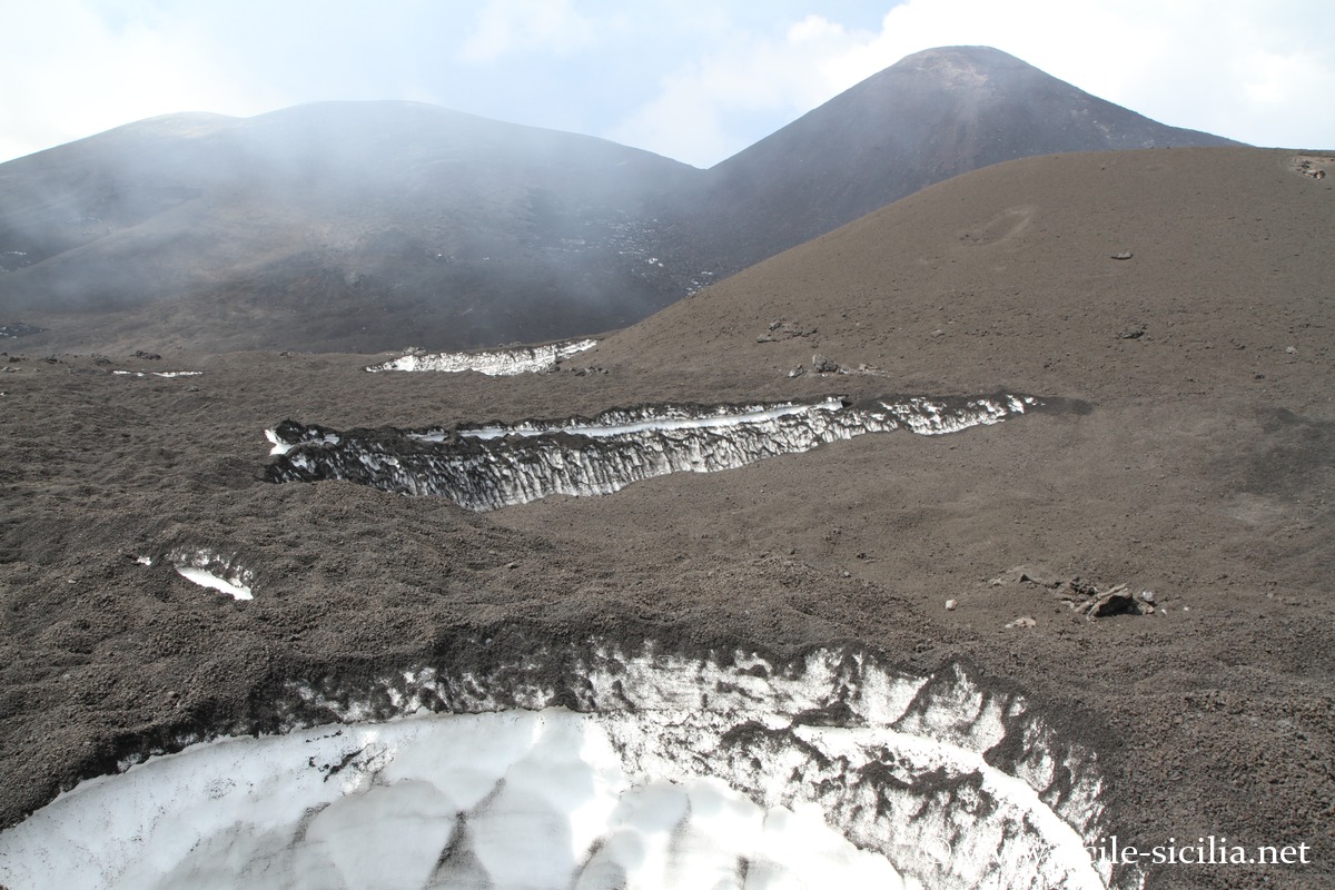
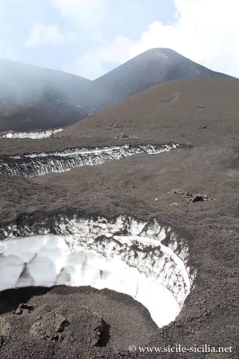
Of course, all infrastructures can be removed or damaged due to eruptions. Note also that the slopes are snow-covered most of the year (except in summer). In winter, chains are compulsory to reach the refuges by car.
Craters and sites of Etna – South access
The central craters
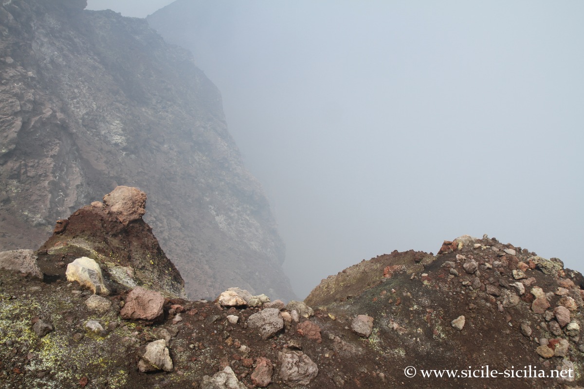
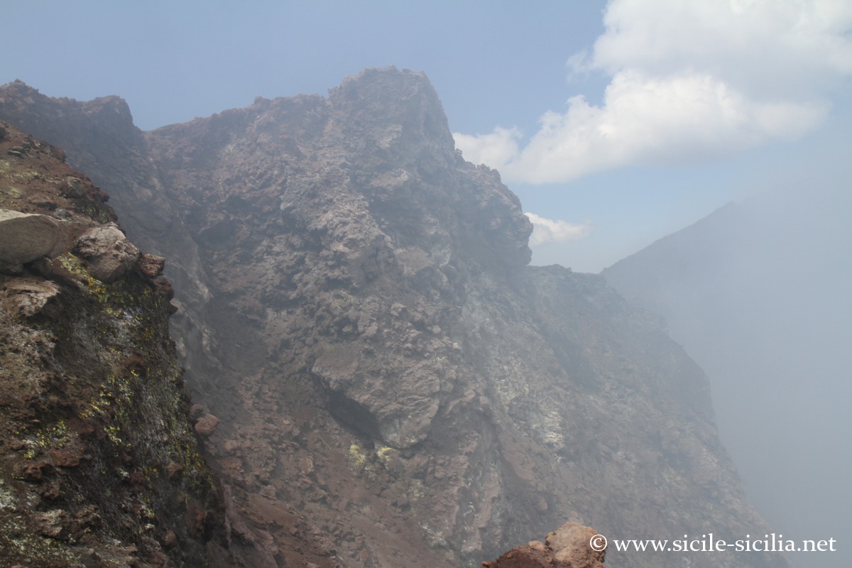
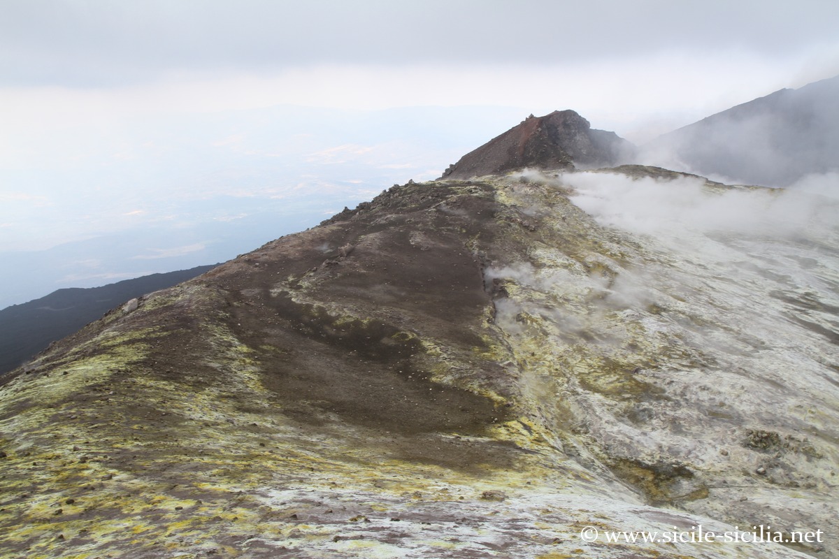
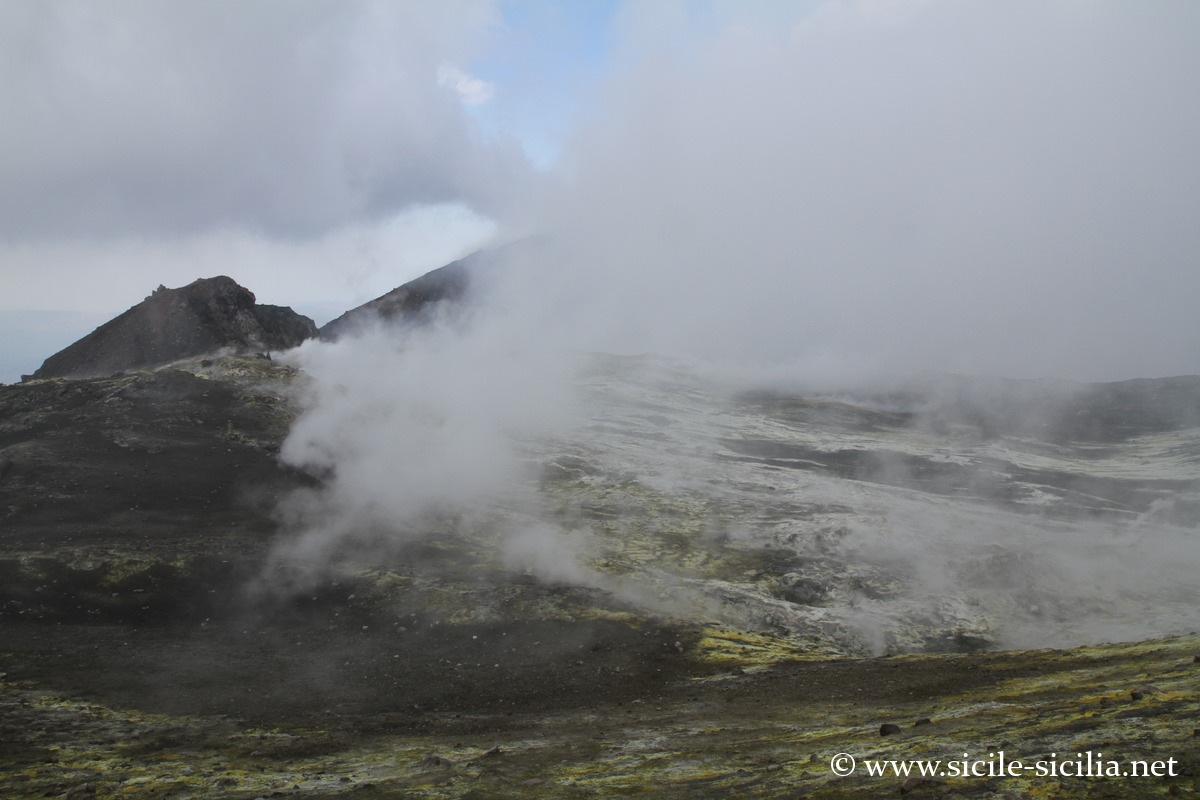
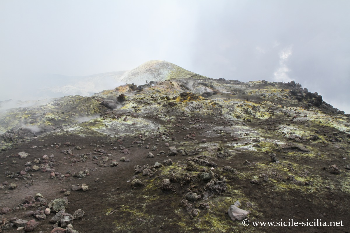
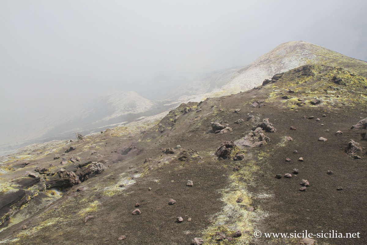
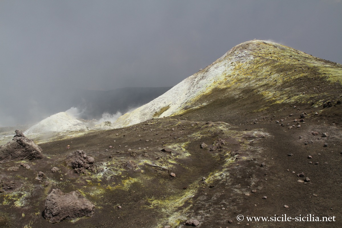
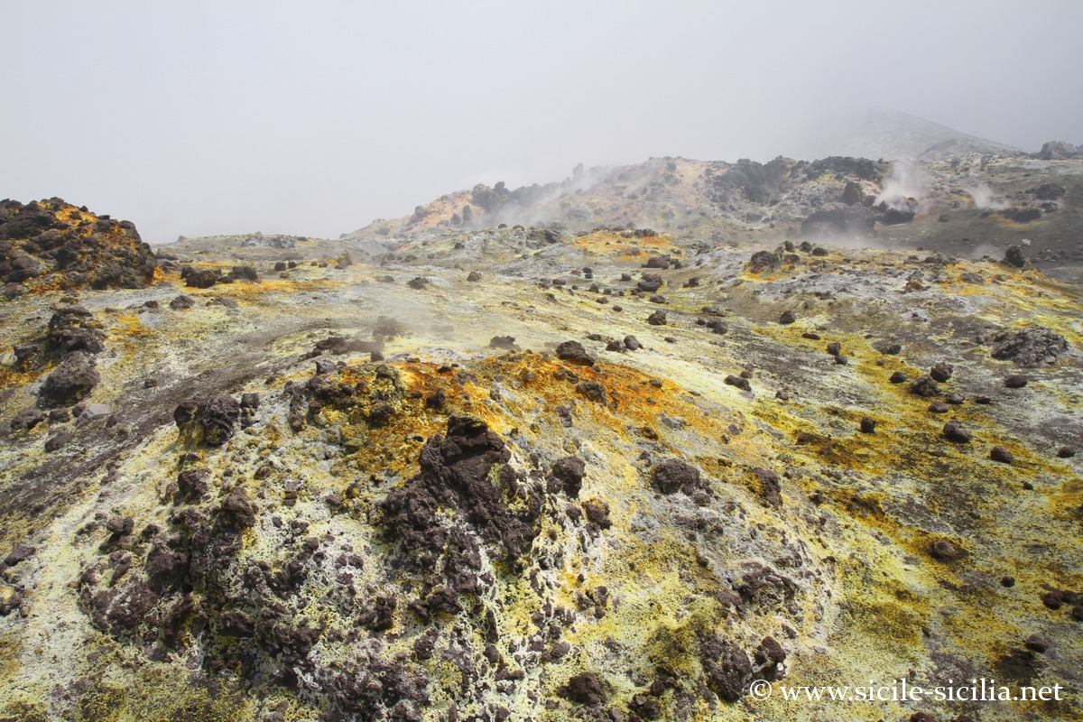
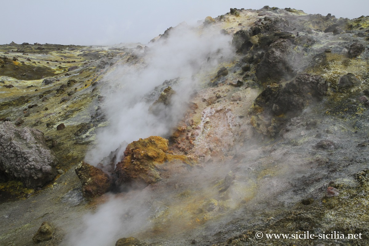
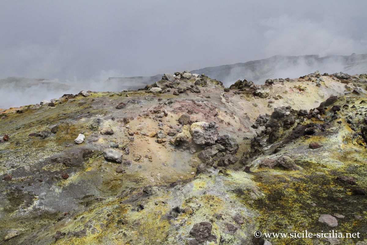
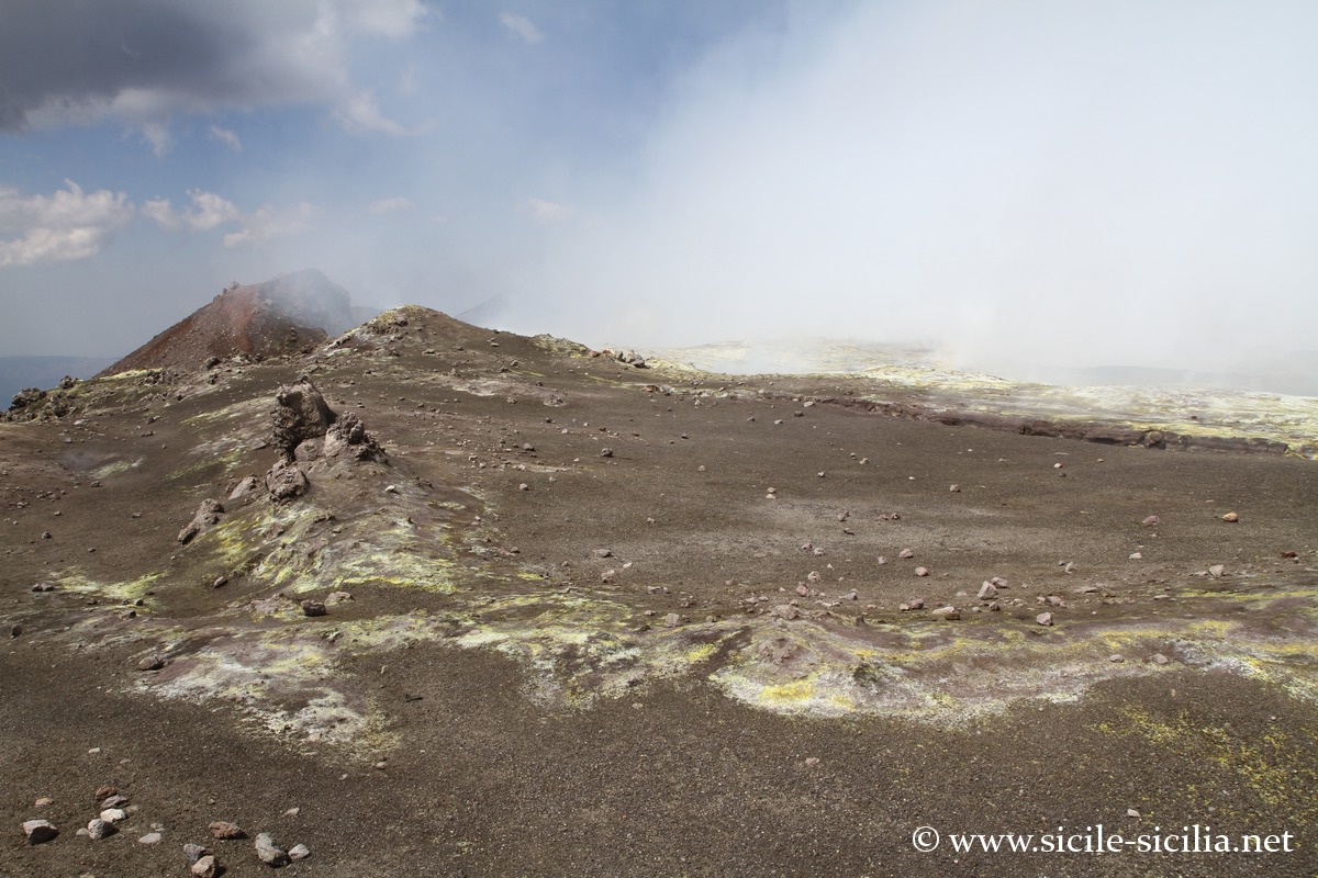
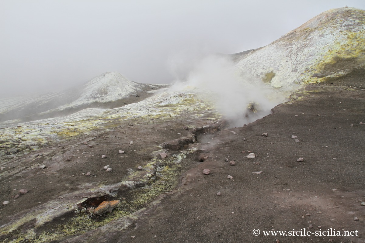
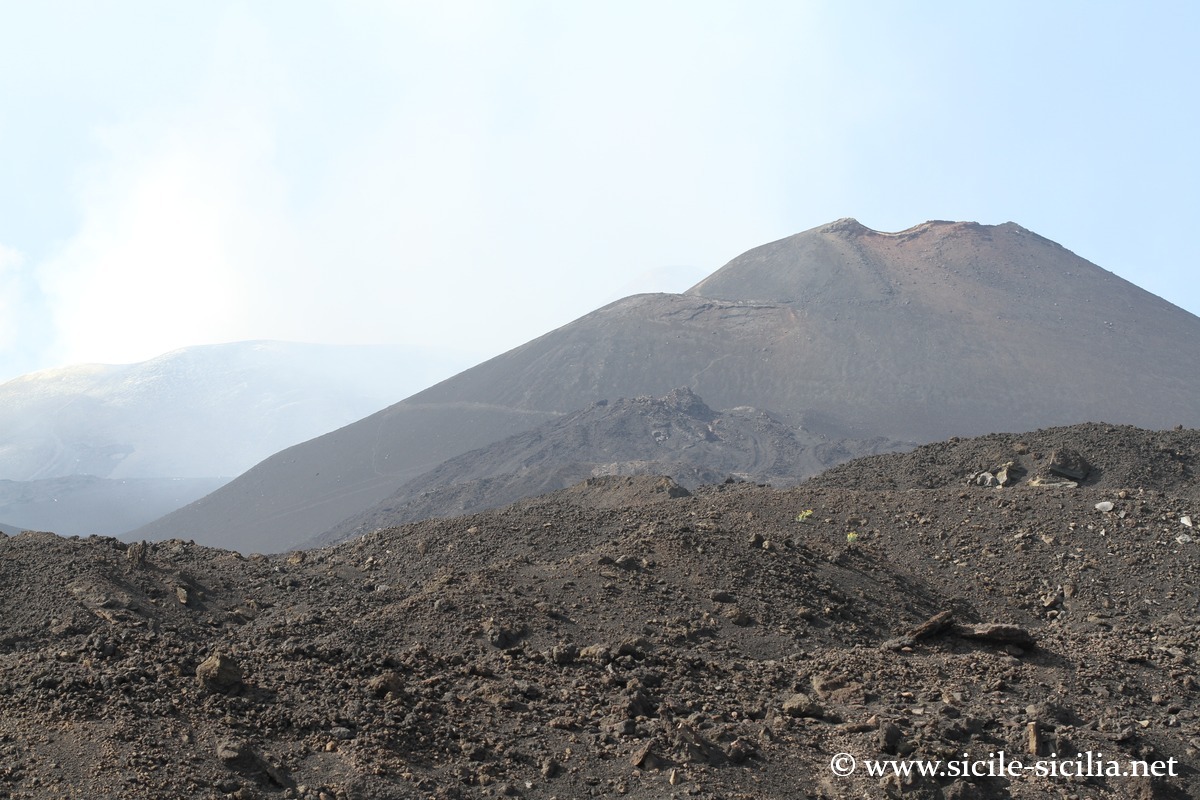
The summit of Etna today consists of four main craters: the central crater, formed by the Voragine (opened in 1945) and the Bocca Nuova (which appeared in 1968), as well as the North-East craters (1911) and South-East (1971, with its “new South-East“). After the recent eruptions, the Voragine dominates the summit activity, having partially filled the Bocca Nuova. The maximum altitude of the volcano now reaches about 3,403 metres, according to 2024 surveys, due to the successive deposits of volcanic materials. The central crater remains a zone of intense degassing and intermittent explosive activity. The morphology of the summit constantly evolves under the effect of collapses and lava accumulations, making Etna a volcanic landscape in perpetual transformation.
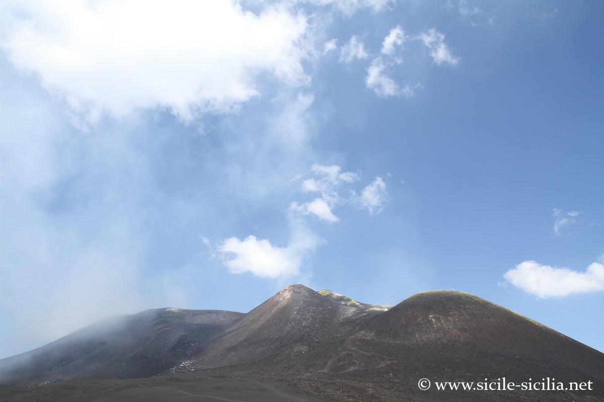
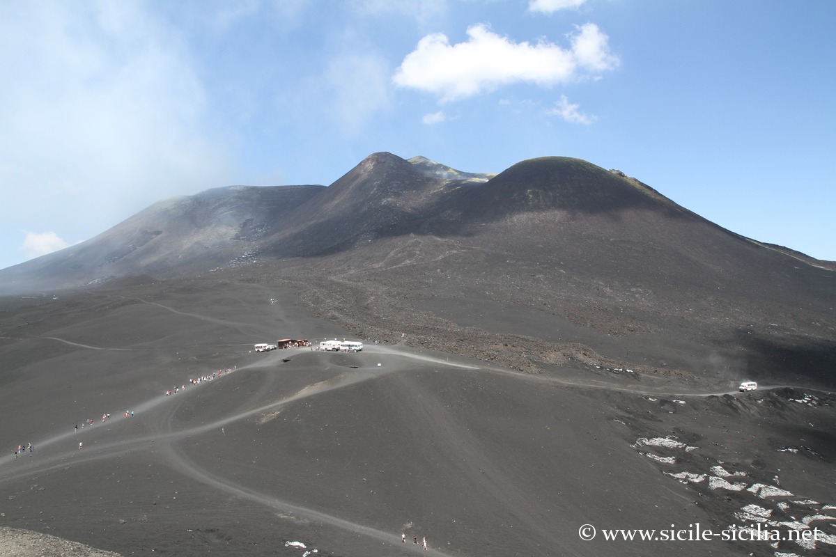
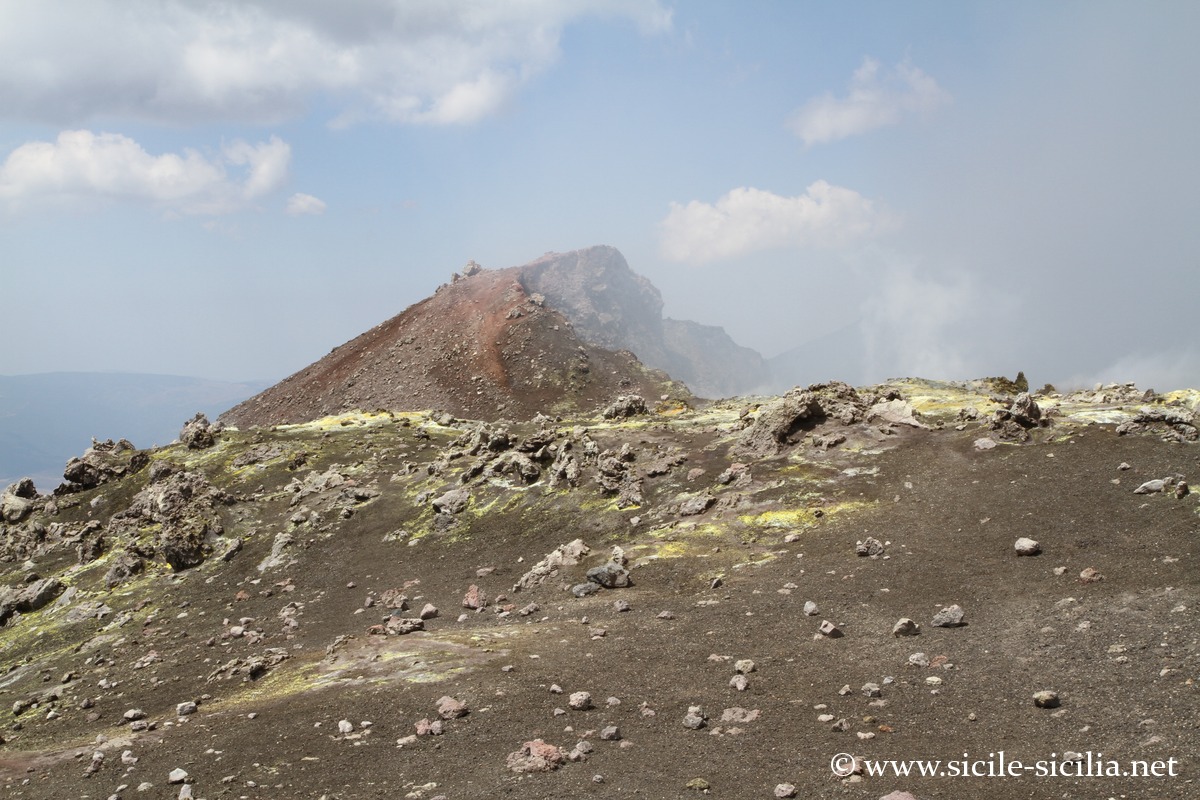
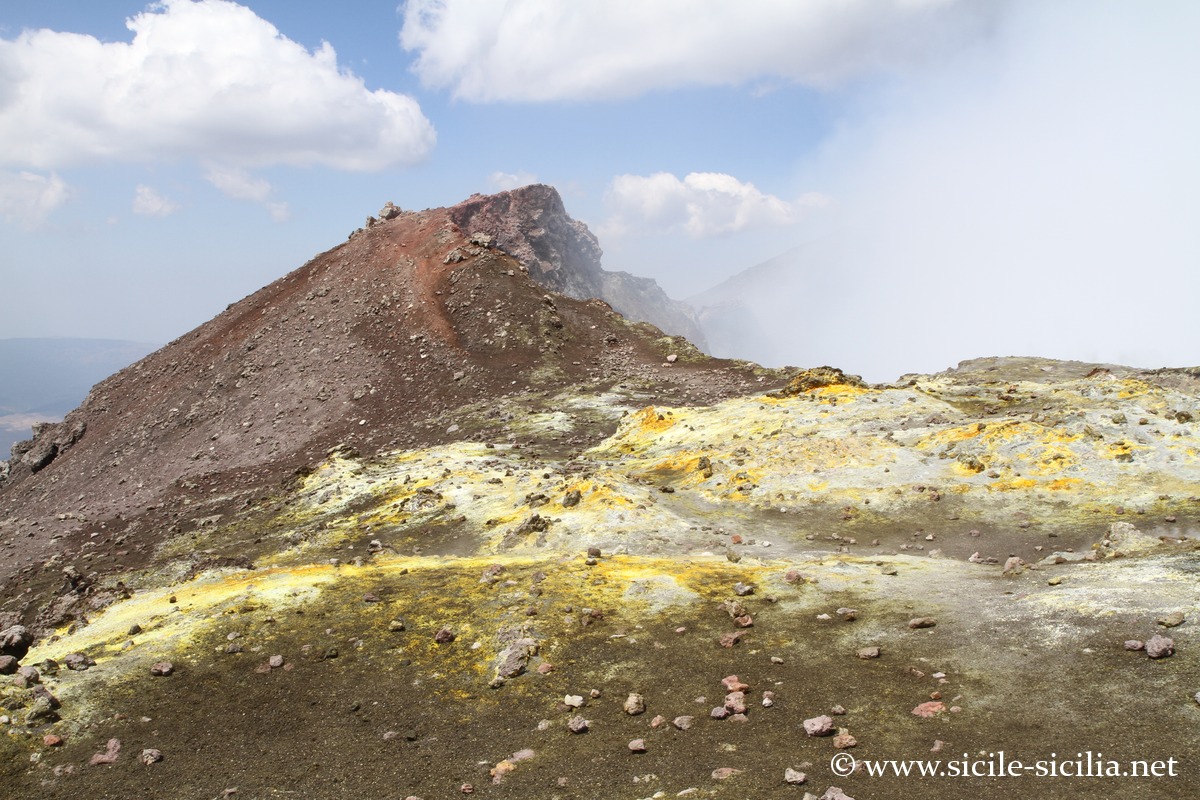
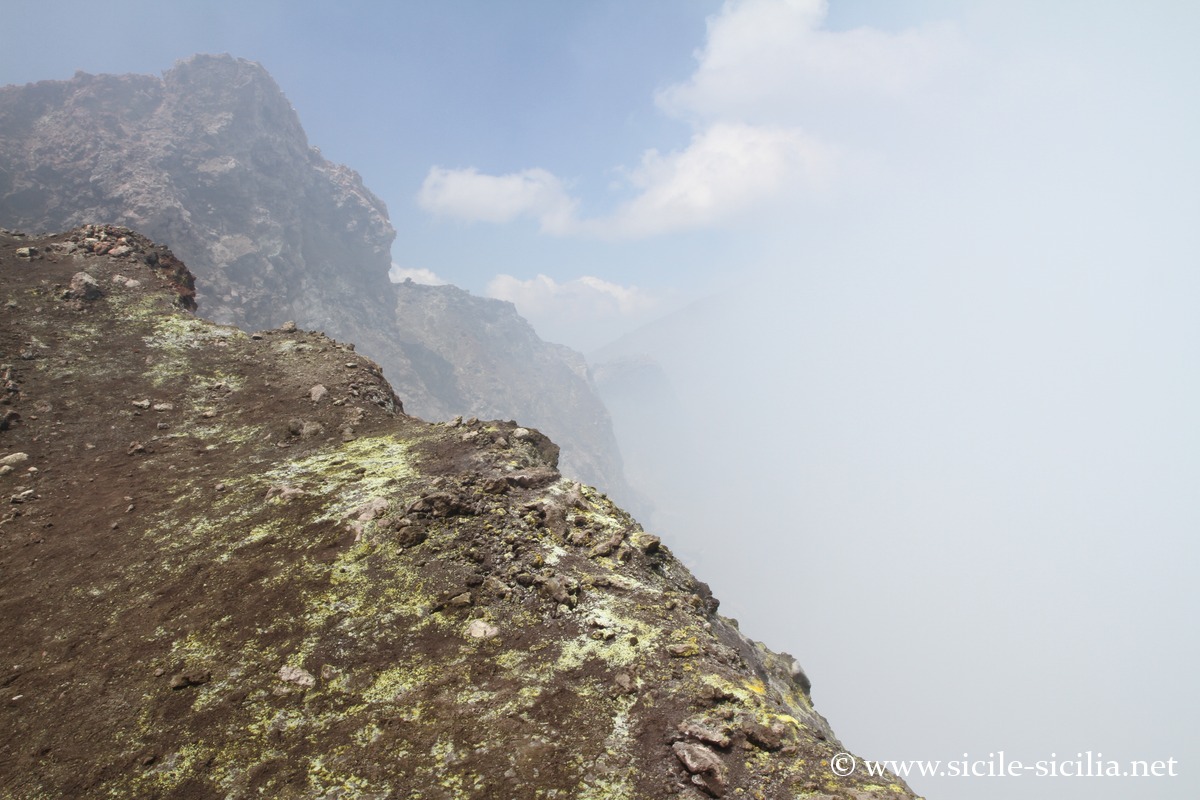
Crater and Monte Frumento
The Monte Frumento Supino is a secondary cone of Etna, located on the south-western flank of the volcano, at about 2800 metres altitude. It was formed during ancient eruptions and today presents a well-preserved morphology, dominated by a regular cone. Nearby is the Barbaga cone, as well as a small crater that appeared during the 2003 eruption, which slightly modified the topography of the area. These reliefs illustrate the lateral eruptive activity typical of Etna, where new cones form sporadically on its slopes. The area offers a spectacular panorama over the summit craters and the recent lava flows.
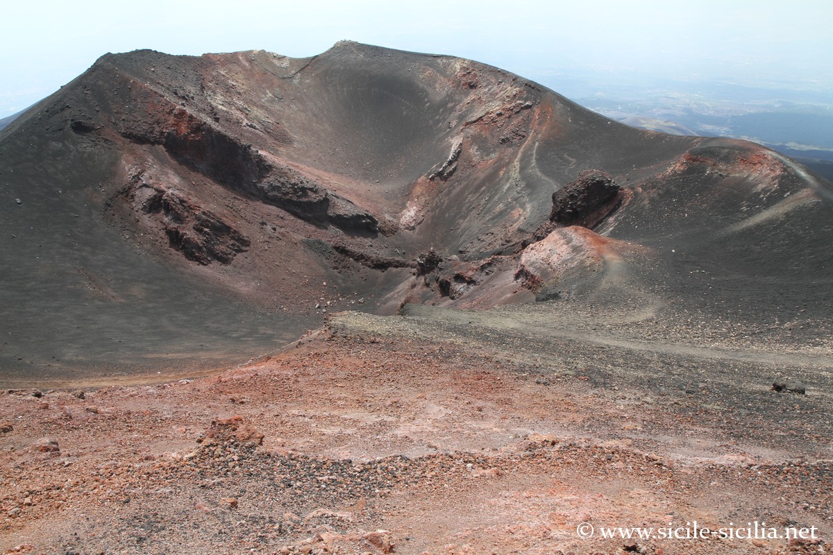
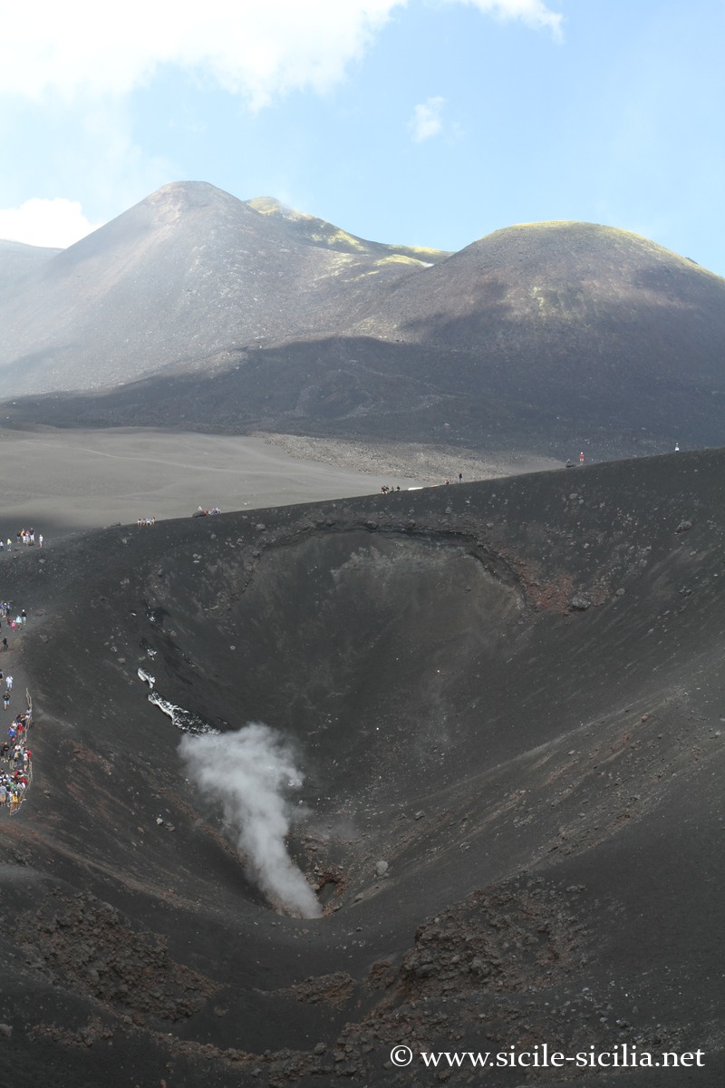
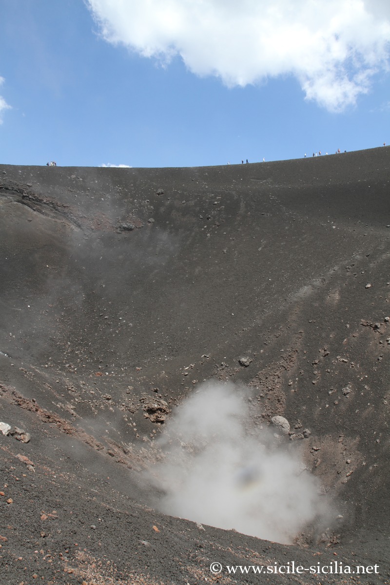
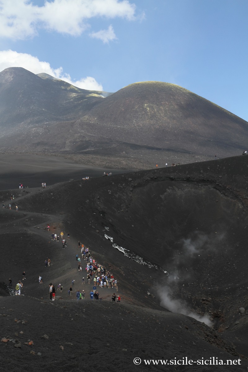
Silvestri craters
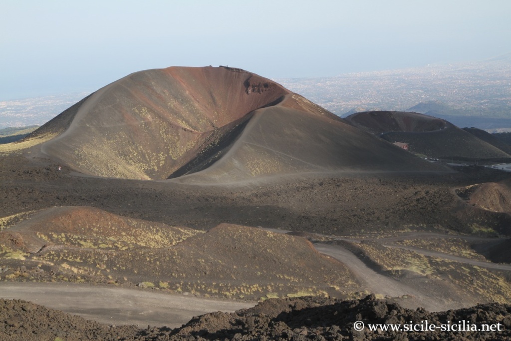
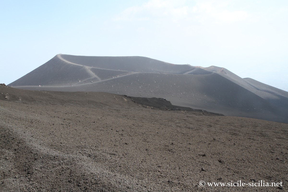
The Silvestri craters, formed during the 1892 eruption, are located on the southern slopes of Etna, at about 1900 metres altitude, near the Sapienza refuge. They consist of an upper crater and a lower crater, now extinct, easy to access and surrounded by a spectacular volcanic landscape mixing dark rocks and ancient lava flows. These craters offer an impressive view over the Ionian coast and often constitute the starting point of excursions towards the summit areas.

Silvestri craters 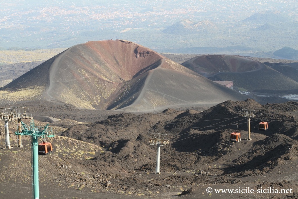
Silvestri craters 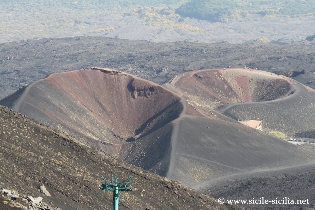
Silvestri Craters 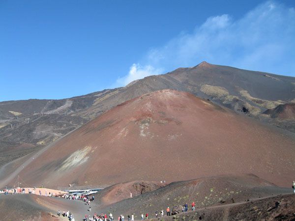

Silvestri Craters, Etna 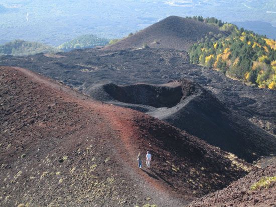

Silvestri Craters, Etna 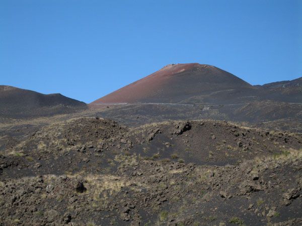
Mount Etna 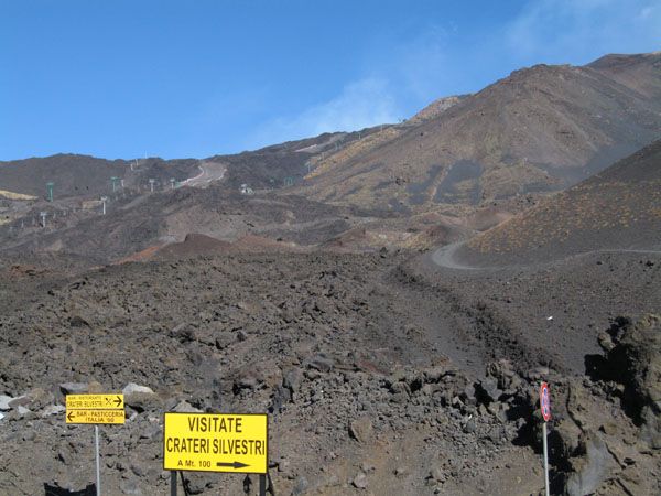
Photo of Mount Etna 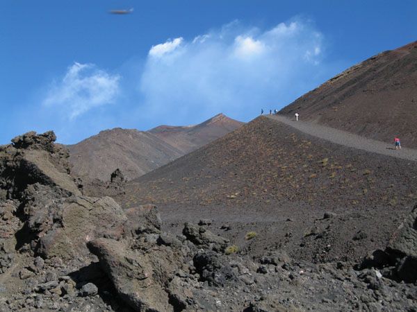
Mount Etna
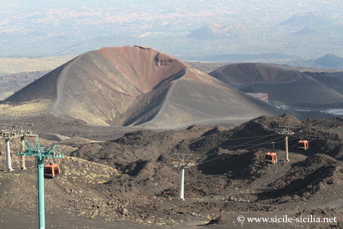
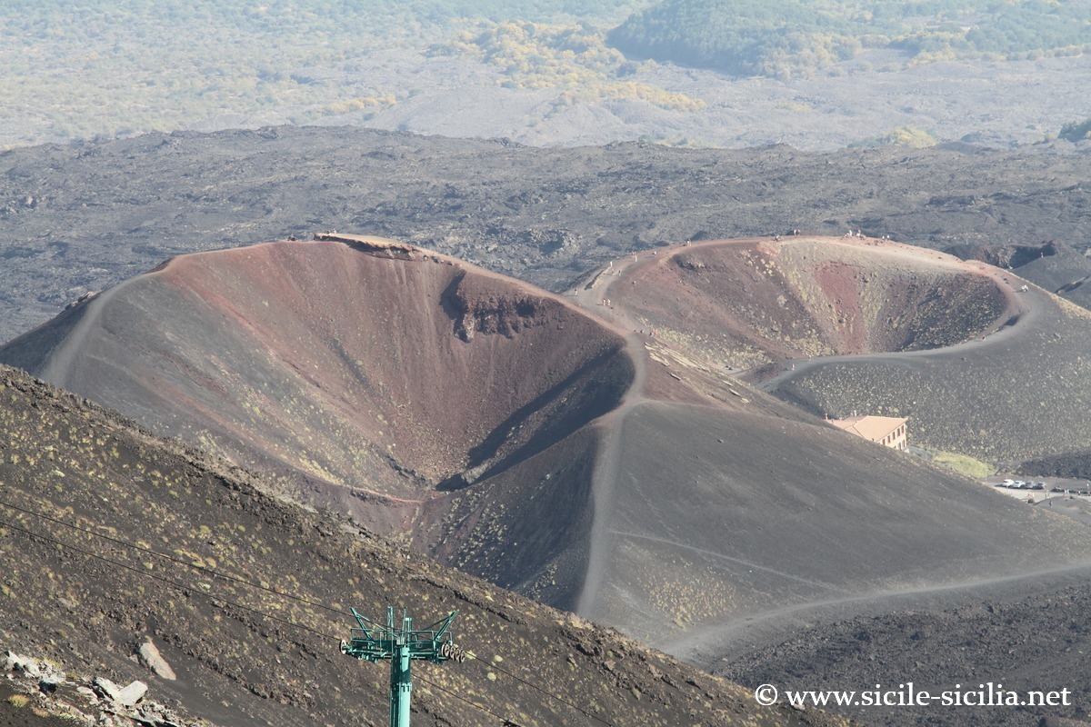
From Montagnola to the Alpino Refuge
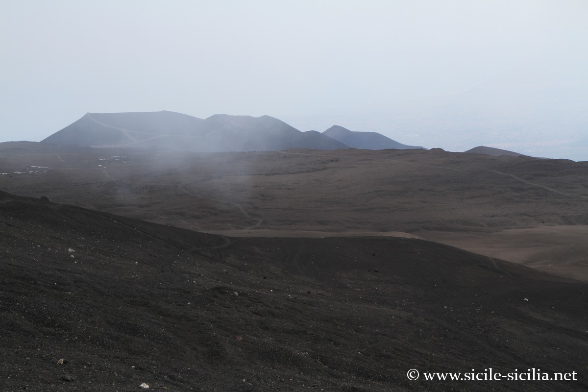
The craters of Montagnola, located on the southern slope of Etna at about 2,500 m of altitude, were formed during the 1763 eruption. They offer a spectacular landscape of volcanic cones and black lava fields dominating the Valle del Bove. Nearby is the Rifugio Alpino della Montagnola, serving as a stopover for hikes and 4×4 tours. Not far away stretch the Piano del Lago, an ancient small lake filled by lava, and the Cisternazza, a spectacular collapse cavity.
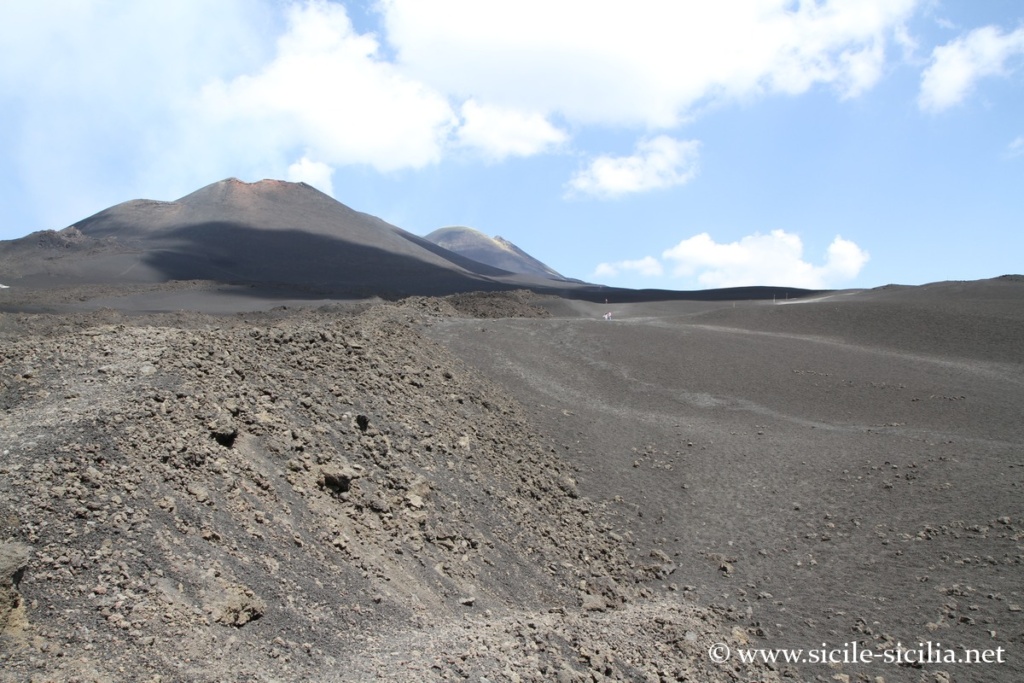
From Montagnola to the Rifugio Alpino 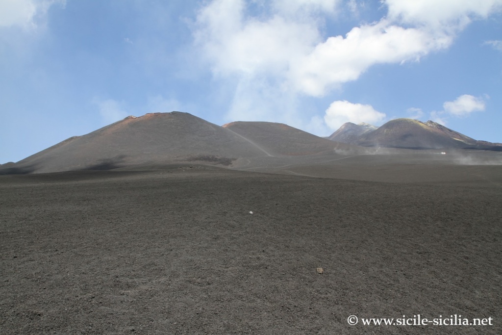
From Montagnola to the Rifugio Alpino 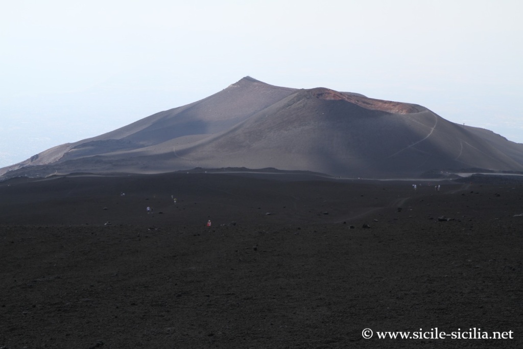
From Montagnola to the Rifugio Alpino 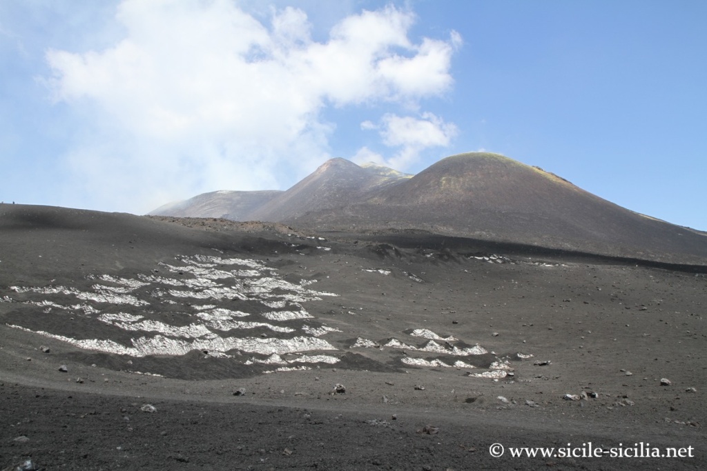
From Montagnola to the Rifugio Alpino 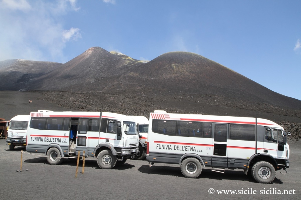
From Montagnola to the Rifugio Alpino
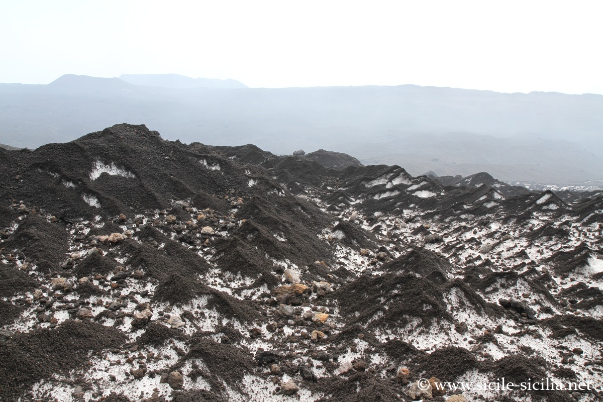
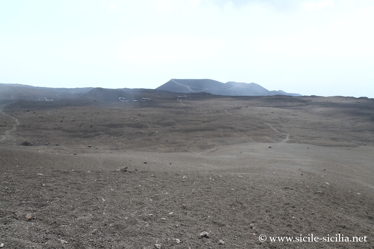
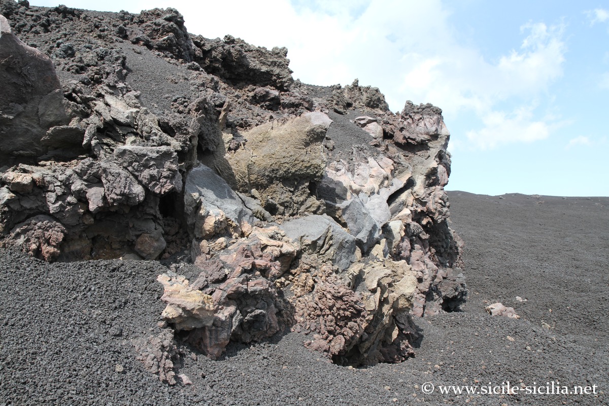
Towards the central craters
Craters and sites of Etna – East access
Mounts Sartorius and Mont Frumento delle Concazze
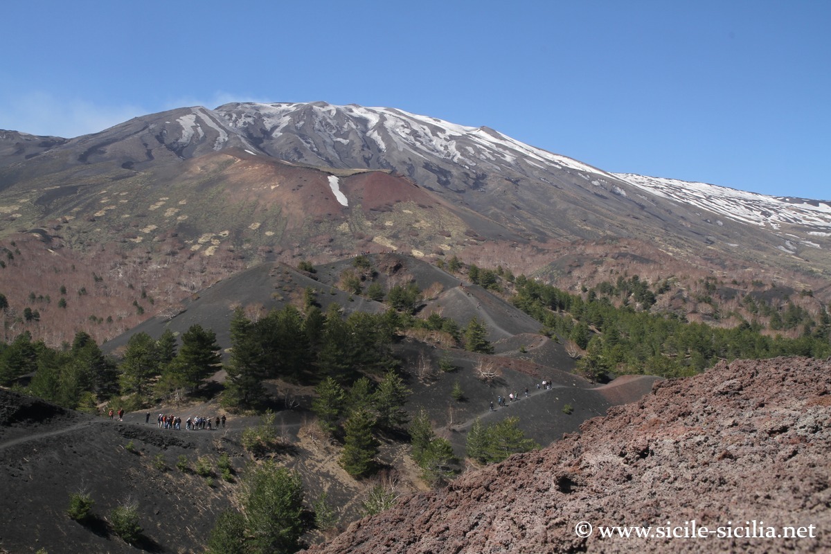
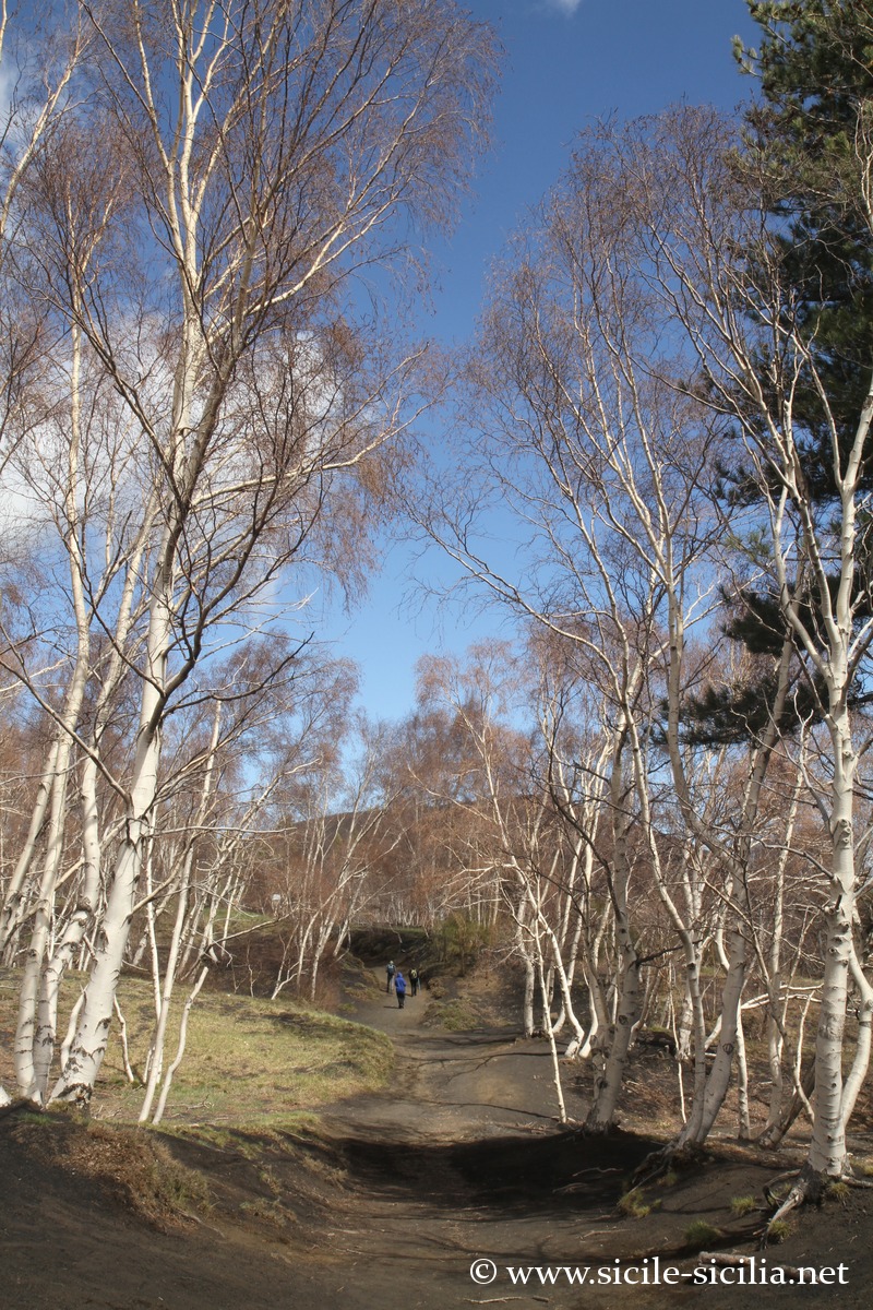
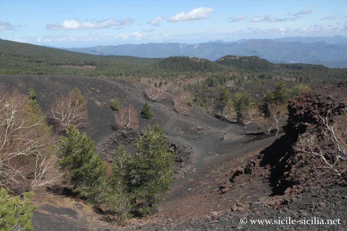
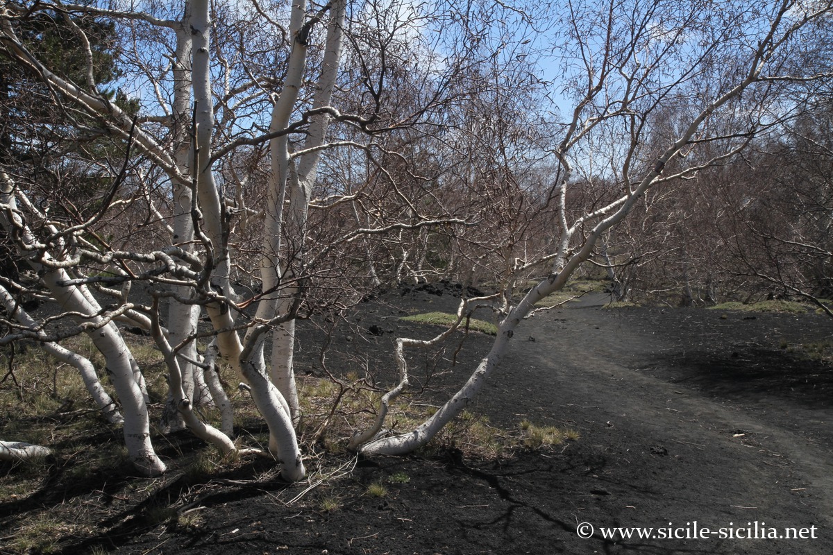
The Mounts Sartorius, located on the north-eastern slope of Etna, at about 1,720 metres of altitude, were formed during the 1865 eruption. They are seven aligned cones, called “Monti Sartorius”, visible along a very accessible route through a forest of Etna birches. Their regular shape and their arrangement in a chain perfectly illustrate the eruptive dynamics of the fissural type.
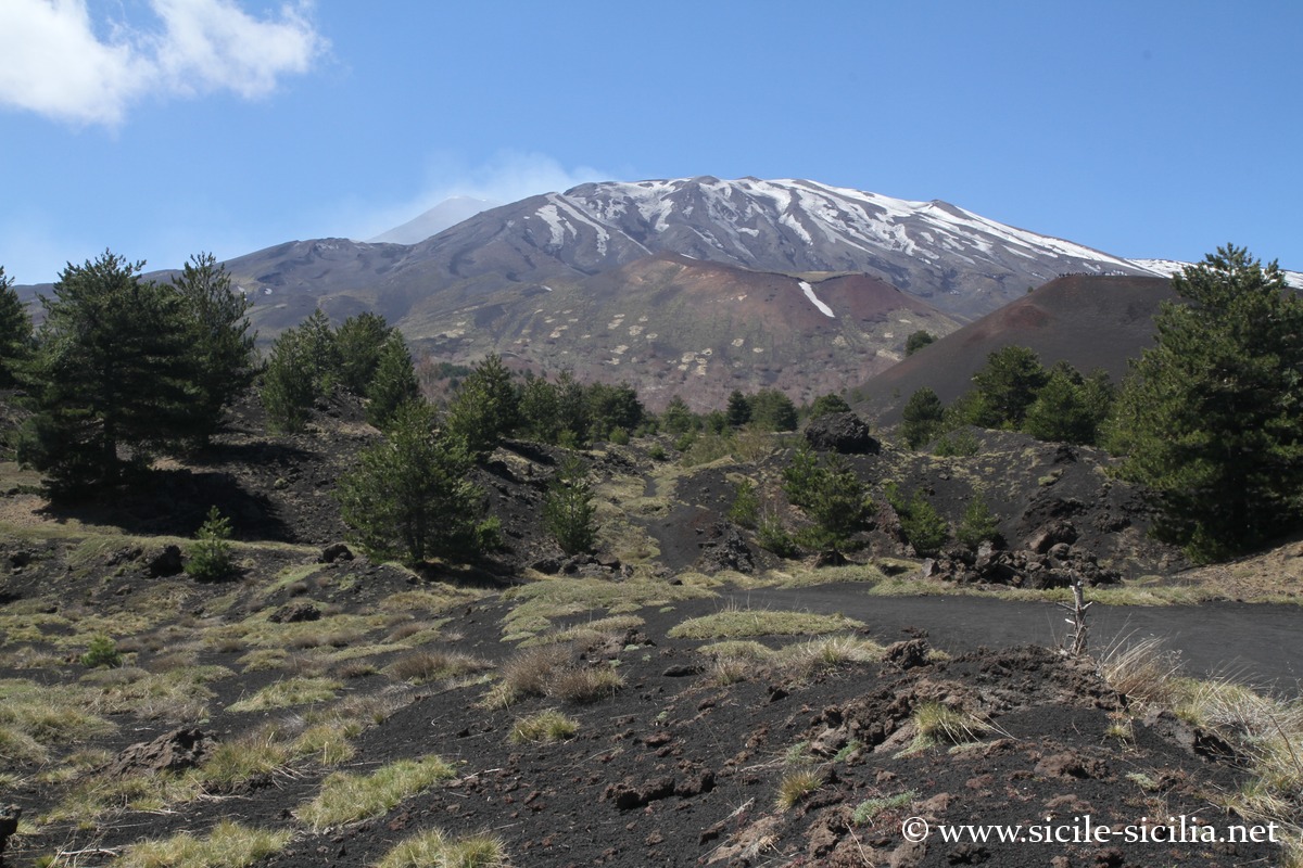
Nearby, Mont Frumento delle Concazze is one of the highest adventive cones of the volcano, culminating at about 2,150 metres of altitude. Born from ancient eruptions, it dominates the landscape of the northern summit area and offers a spectacular panorama over the Valle del Bove and the main craters.
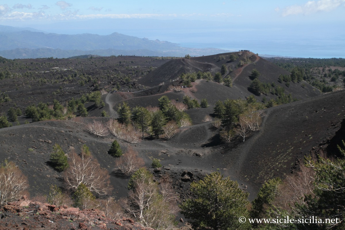
The Valle del Bove and Mount Zoccolaro
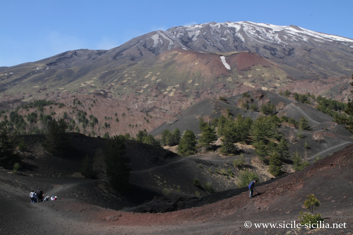
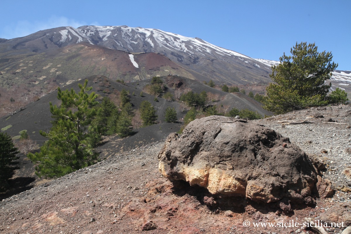
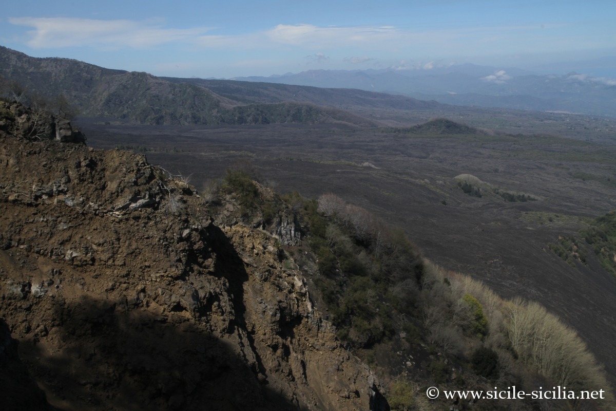
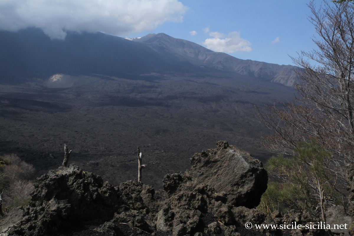
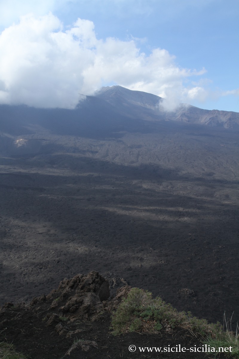
The Valle del Bove is a vast horseshoe-shaped depression, measuring about 7 km long by 5 km wide, located on the eastern flank of Etna. It was formed about 8,000 years ago by the collapse of the ancient summit of the volcano, creating an immense caldera. Today, the valley is a desert of black lava, whose steep walls, sometimes reaching 1,000 metres in height, offer spectacular views over the lava flows and the Ionian coast. It is also a privileged site for observing eruptions and geological phenomena.
The Monte Zoccolaro, culminating at 1,739 metres of altitude, offers a breathtaking view over the Valle del Bove. Accessible via trail 704 from the Citelli refuge, the ascent crosses forests of beech and birch. It is an excellent observation point for eruptions, especially at sunset.

Crater seen from Mount Zoccolaro 
Valle del Bove, Monte Zoccolaro 
Valle del Bove, Monte Zoccolaro 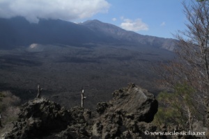
Valle del Bove, Monte Zoccolaro 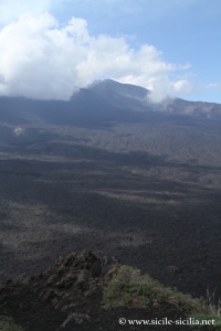

Valle del Bove, Monte Zoccolaro
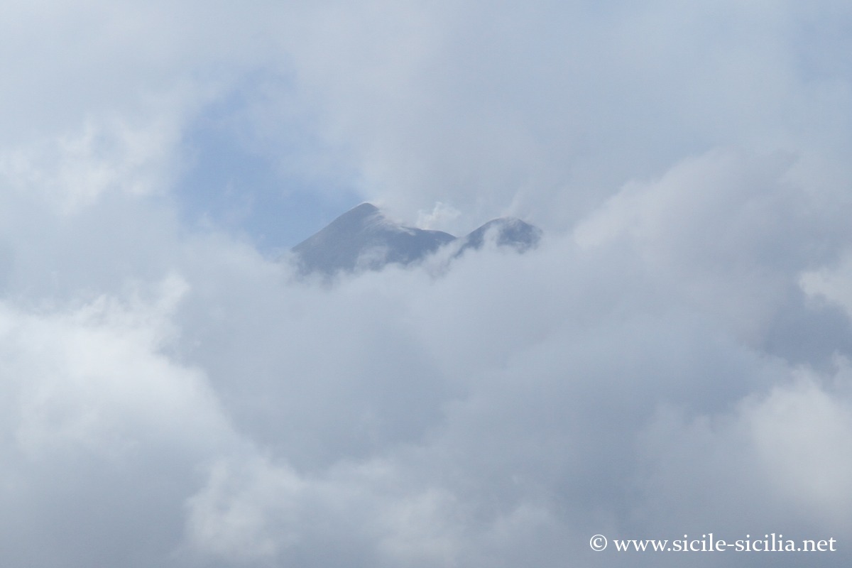
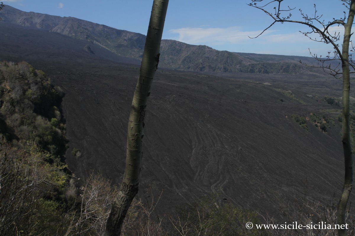
Other sites of Etna
The caves
In the park area, there are more than 200 volcanic rock caves, created by lava flows. Since Antiquity, they served as sacred places, burials, or shelters. The best known are the caves of Lamponi, Gelo, Tre Levelli, and Palombe.
Monastery, park headquarters and garden
Since 2005, the park headquarters (Ente Parco dell’Etna) has been installed in the former Benedictine monastery of San Nicolò La Rena, a building of historical value north of the village of Nicolosi.
It is also a space devoted to culture, nature, and the promotion of local products. Outside there is an ancient cistern with four wells still in operation.
Inside, one discovers the former spaces of the monastery and a volcanological museum dedicated to Etna: geological history, caves, lava flows, craters, etc.
Outside, the Banca del Germoplasma is a botanical space preserving the phytogenetic heritage of Etna, over about three hectares, with vineyard, orchard, broom, forest plants, aromatic and medicinal species, etc. A discovery trail has been laid out there.
Information
Excursion suggestions
External sites
- Official site (English and Italian): parcoetna.it and www.parks.it
- Official site in French: www.unescoparcoetna.it/fr
- Wikipedia page
- Interactive map with the various points of interest: www.unescoparcoetna.it/mappa-interattiva
- Trails, maps and places of the park: www.etnaexcursion.it, www.unescoparcoetna.it/sentieri, www.parks.it, commons.wikimedia.org
Articles about Etna
- Mount Etna
 Etna is the highest active volcano in Europe with its 3,330 metres. ...
 - Hotels near Mount Etna
 Hotels near Mount Etna and its surroundings in Sicily, farm stays, bed ...
 - Etna eruptions seen from the sky
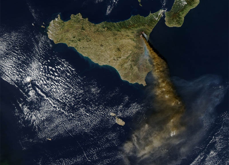 Etna Category
 - Centuripe
 Upstream of the valley, on a series of hills overlooking the Simeto, ...
 - Alcantara Valley and Gorges
 The beautiful Alcantara Gorges are located in the valley of the Alcantara ...
 - Castiglione di Sicilia
 At the foot of the northern slope of Etna, the village of ...
 - Randazzo
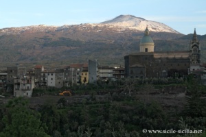 Randazzo is a charming medieval village perched at about 765 m above ...
 - Simeto Valley, Paternò, Adrano
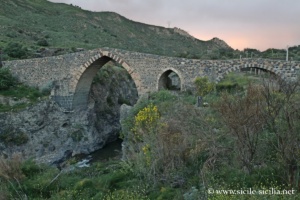 West of Catania, the Simeto valley forms a vast region still little ...
 - Circumetnea, the train around Mount Etna
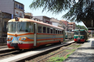 The Circumetnea is an opportunity for an original discovery of the Etna ...
 - Zafferana Etnea
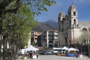 Zafferana Etnea is a Sicilian village perched at about 600 metres above ...
 - Driving tour of Etna
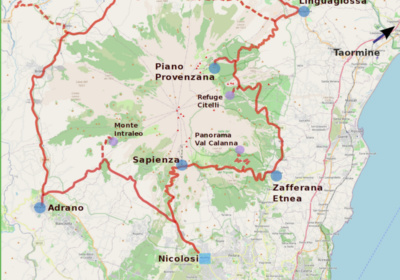 You can very easily discover the territory of Etna by car, passing ...
 - Nicolosi
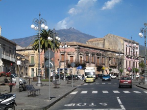
 A few kilometres from the craters of Etna, Nicolosi is one of ...
 - Destinations near Mount Etna
 Destinations near Mount Etna in Sicily, including Catania at the foot of ...
 - Activities on Etna, guided tours and excursions
 Booking of activities on Etna, excursions on the volcano and in its ...