

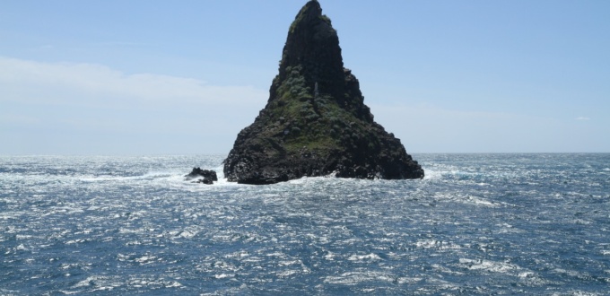
Along the coast north of Catania, the “Riviera dei Ciclopi” (Riviera dei Ciclopi in Italian) stretches for about 12 kilometers between Aci Castello and Aci Trezza, extending north to Acireale. This stretch of coastline combines landscapes shaped by the volcanic activity of Etna, with basaltic promontories, lava cliffs, pebble or volcanic rock beaches, and coves where underwater visibility is excellent.
The coastline has a wild beauty, but the infrastructure (coastal roads, parking) sometimes struggles to absorb traffic during the high season, which can make journeys slow.
The Riviera dei Ciclopi: between myth and geology
The Riviera dei Ciclopi, on the eastern coast of Sicily between Catania and Acireale, combines geology and mythology of the Mediterranean world. Its landscape was born from the thousand-year activity of Etna, where successive lava flows, sometimes submerged, formed basaltic promontories, islets and characteristic dark cliffs.
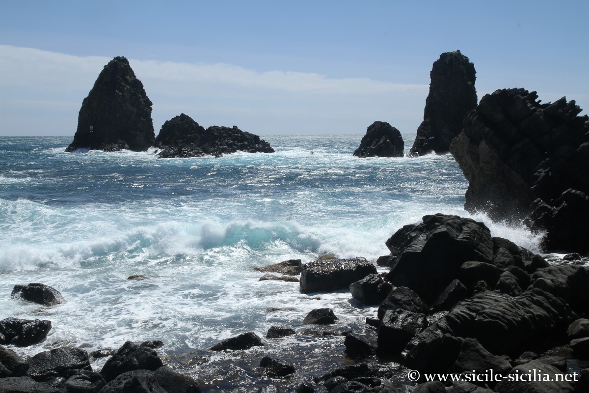
According to Homeric tradition, this is where the cyclops Polyphemus is said to have lived, son of Poseidon and the nymph Thoosa, who hurled enormous volcanic rocks at Ulysses. These blocks are still visible off the coast of Aci Trezza in the form of the faraglioni and the island of Lachea.
The terrain of the Riviera is made up of ancient lava layers and pyroclastic deposits from eruptive phases of Etna since the Pleistocene, covered by later marine formations.
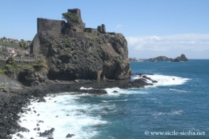
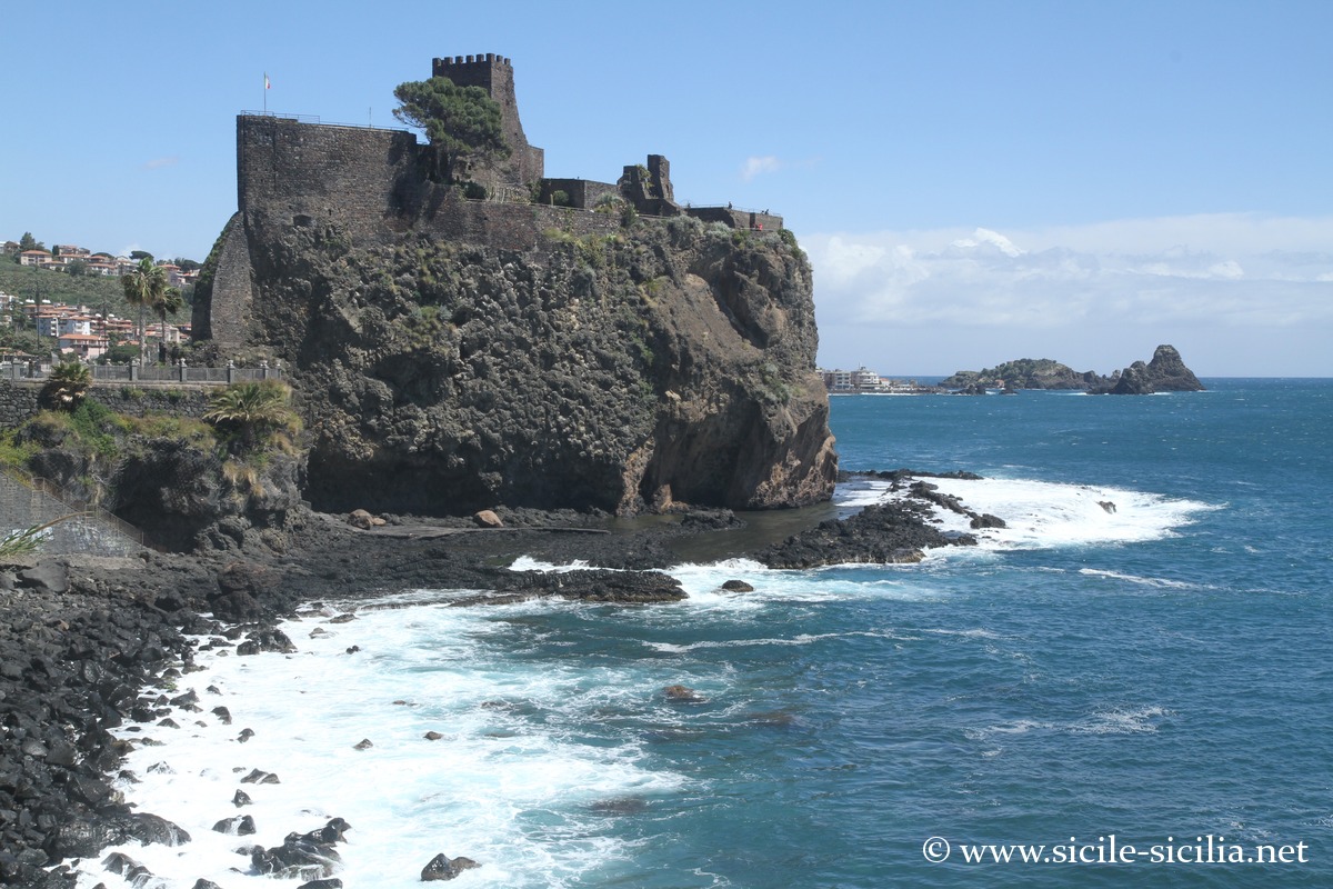
Aci Castello, Riviera dei Ciclopi 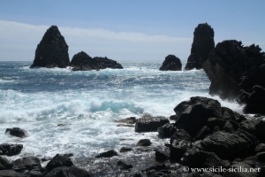
Faraglioni, Aci Trezza, Riviera dei Ciclopi
This coastline is today recognized as a site that is at once natural, archaeological and mythical, where the villages of Aci Castello, Aci Trezza and Acireale form a homogeneous ensemble of culture, geology and ancient memory. Numerous place names (Aci, derived from Akis in the Greek legend of Acis and Galatea) recall Greco-Sicilian mythology. The area is also part of the Marine Nature Reserve of the Cyclops Islands, created in 1989 to protect its underwater volcanic formations and its biodiversity.
The coast between Aci Castello and Acireale
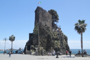
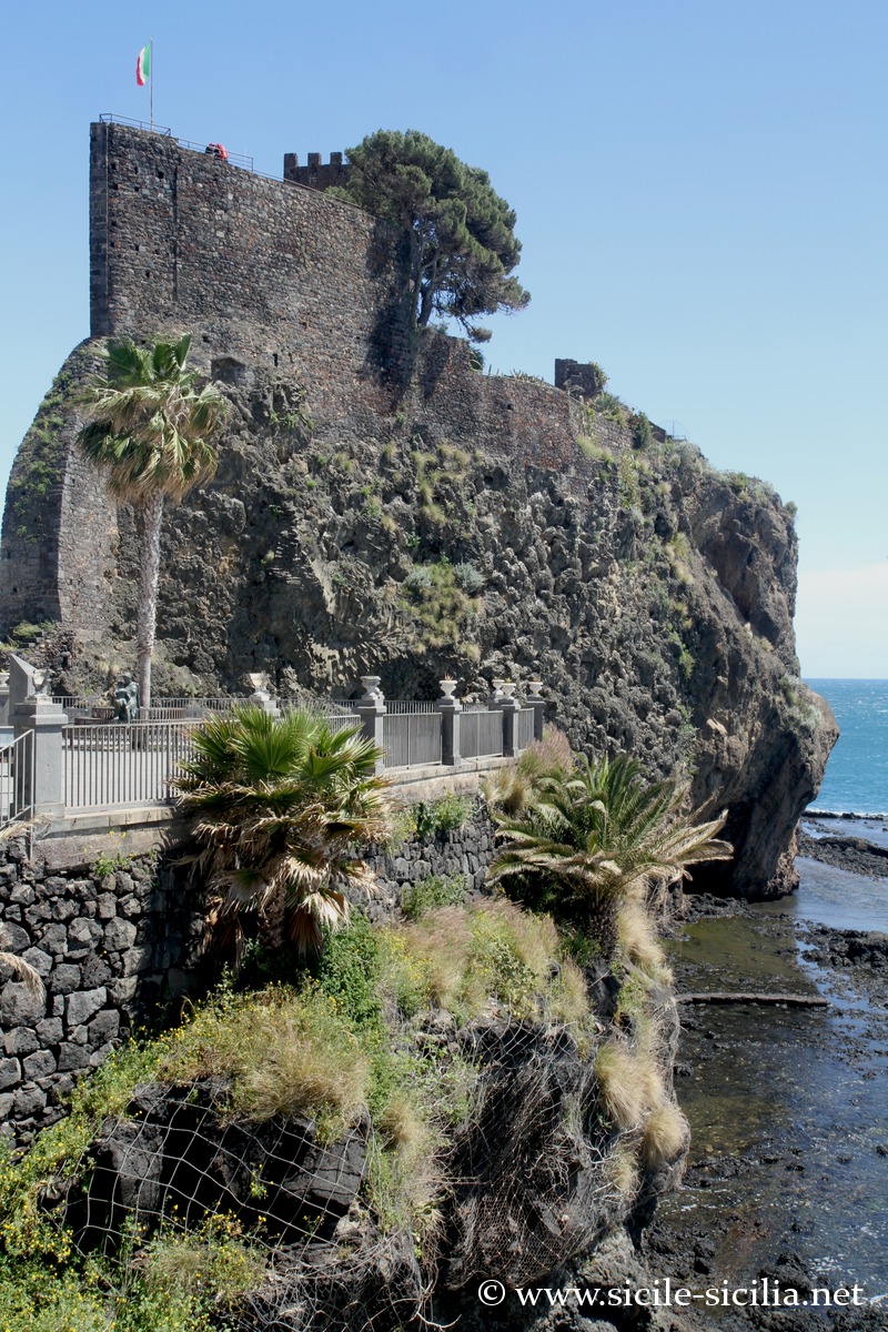
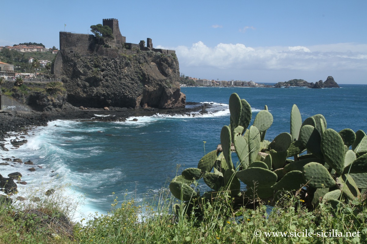
From Catania, you first reach Aci Castello (about 10-15 km away), dominated by a Norman castle built on a promontory of volcanic rock from ancient lava flows of Etna.
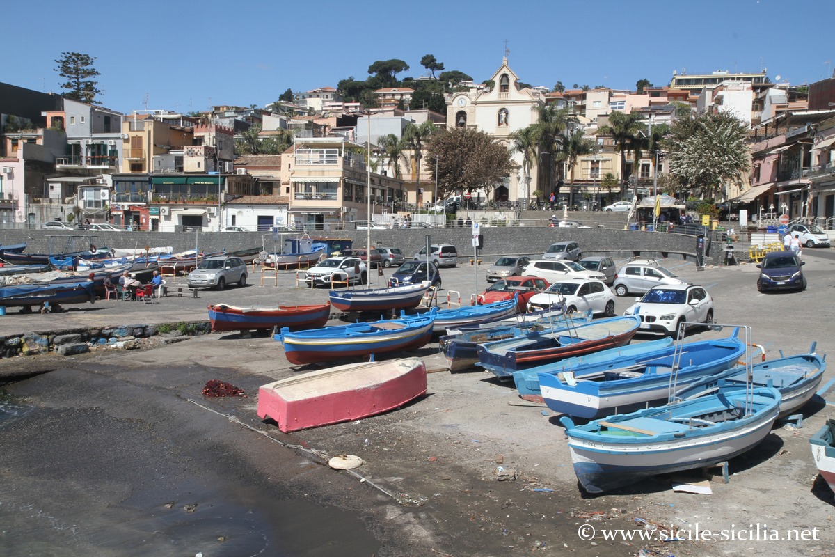
A few kilometers further on, Aci Trezza offers the atmosphere of a traditional fishing village, with its colorful boats and small islands including the famous faraglioni: large volcanic blocks emerging from the waves.
The coastline here is ideal for boat trips to admire these formations up close, but also for diving and snorkeling, thanks to the richness of the marine reserve that protects varied underwater species.
Acireale is a small town notable in particular for its beautiful Baroque churches.
A few kilometers further north, the small fishing port of Capo Mulini is a good place to lunch or dine on seafood.
Aci Castello
Aci Castello and its surroundings are said to be linked to the legendary lost Greek city of Xiphonia, mentioned by Diodorus Siculus, located according to hypotheses between Aci Castello and Acireale and the inland areas. A Greek necropolis has been identified in the Vigna Vecchia district.
The castle, of Norman origin but with Byzantine or Roman precedents, is built of local volcanic stone and overlooks the sea. Inside it houses the civic museum, whose rooms display artifacts from the territory, including prehistoric objects, remains from the Greco-Roman and medieval periods, as well as a mineralogy and paleontology section.
The fortress is accessible by a staircase from the square overlooking the coast with its terrace.
The village itself preserves elements of local architecture, small harbors, rocks shaped by time and stairways descending to the water’s edge.
Aci Castello 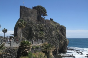

Aci Castello 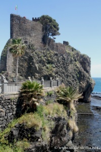

Aci Castello 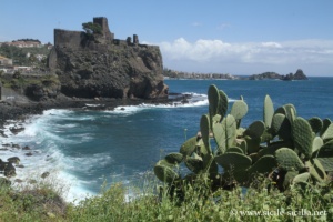
Aci Castello 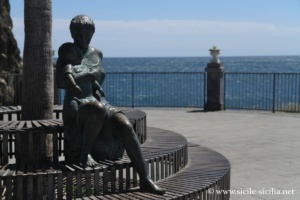
Aci Castello
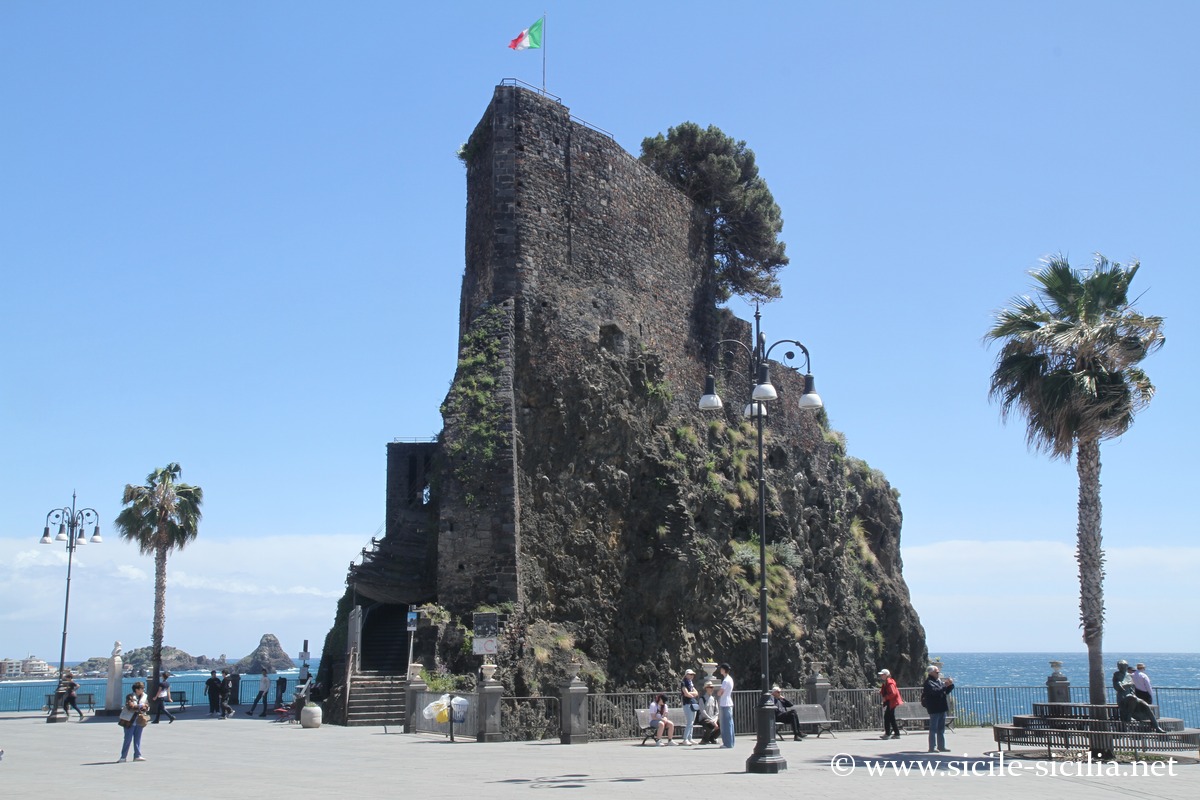
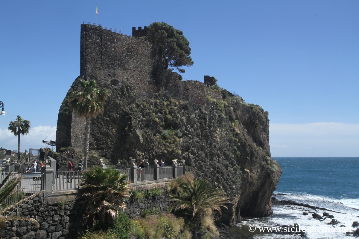
Aci Trezza and the Cyclops Islands
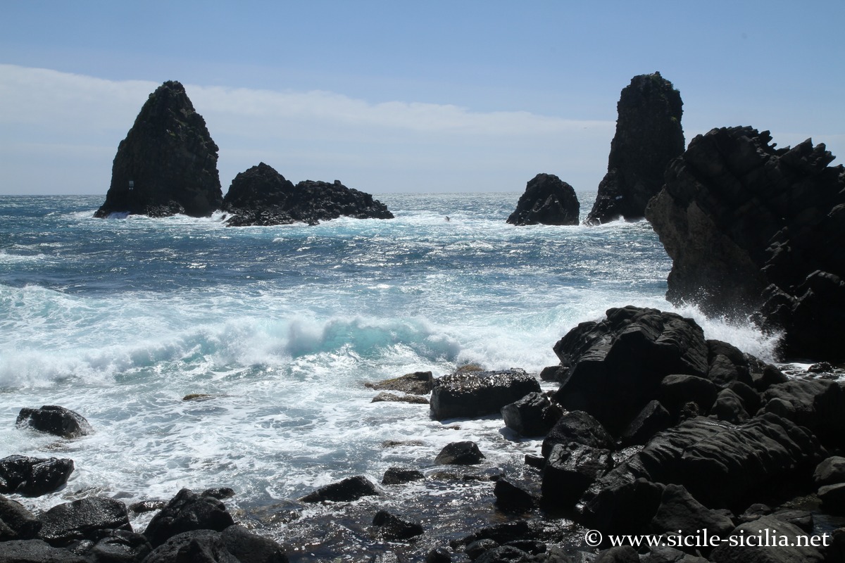
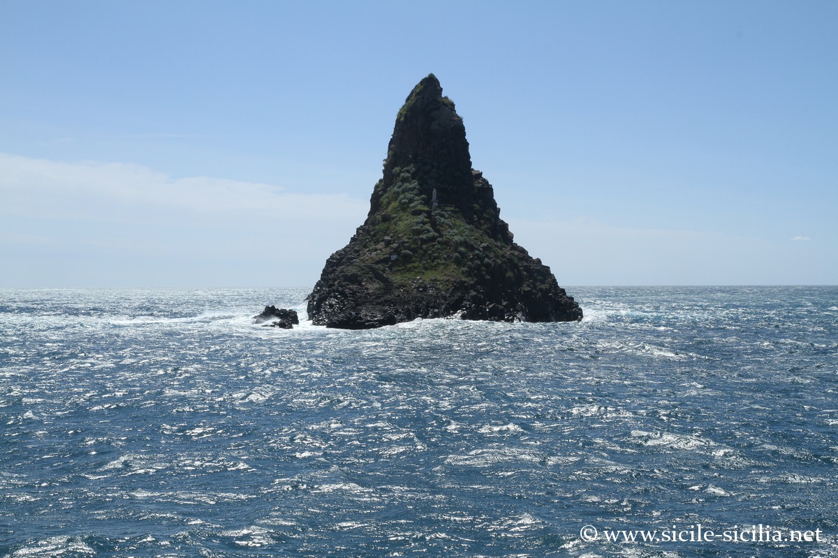
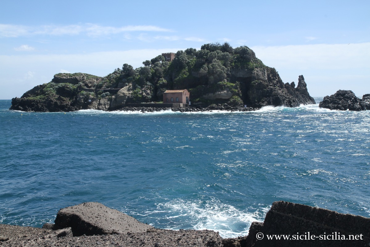
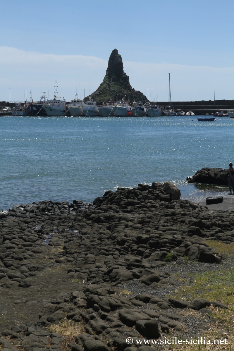
Aci Trezza has the most striking coastline. The sea panorama is dominated by the faraglioni (also sometimes called the Cyclops Islands), large basaltic rocks rising from the water like stone castles. The island of Lachea is the main one of the small archipelago; they are part of the Marine Nature Reserve of the Cyclops Islands, managed by the University of Catania. These rocks are remnants of solidified underwater formations or remains of lava flows. According to mythology, they are stones thrown by the cyclops Polyphemus at Ulysses, furious at being blinded by him.
It is in this village that Giovanni Verga sets the novel I Malavoglia; its narrow streets, its small port and its colorful boats retain an atmosphere of traditional fishing.
The islands and rocks are accessible by boat from the port, sometimes with glass-bottomed vessels allowing observation of marine life: algae, sponges, Mediterranean fish and protected crustaceans.
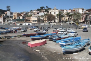
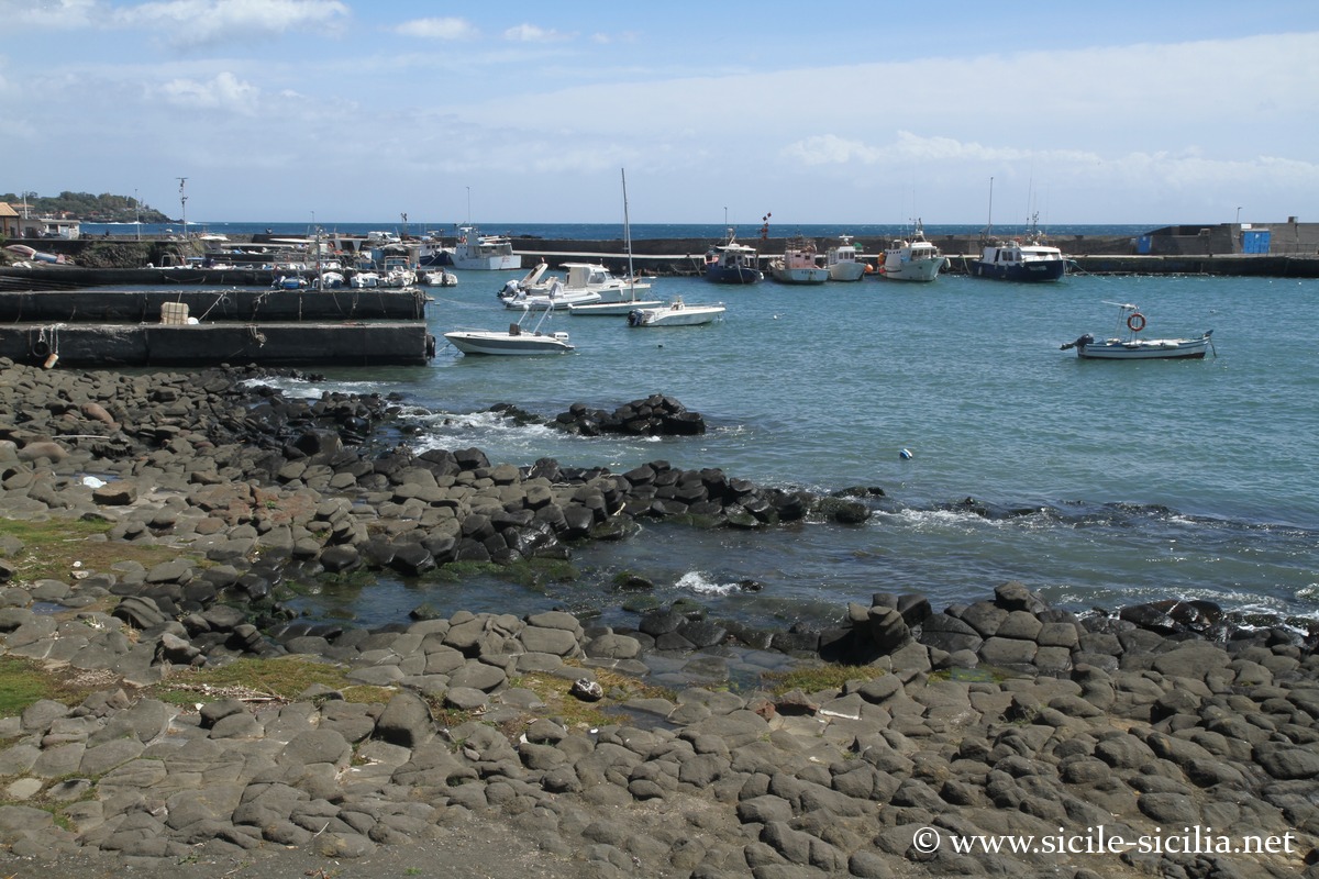
Port of Aci Trezza 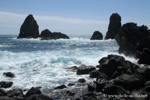
Faraglioni at Aci Trezza 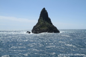
Faraglioni at Aci Trezza 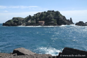
Lachea Island, Aci Trezza 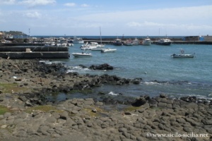
Aci Trezza 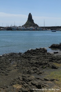
Aci Trezza
Acireale
Further north, Acireale stands on a volcanic plateau called the Timpa, about 150-200 meters above sea level, on layers formed from ancient lava flows. It may correspond to the Greek colony founded around 731 BC under the name of Xiphonia.
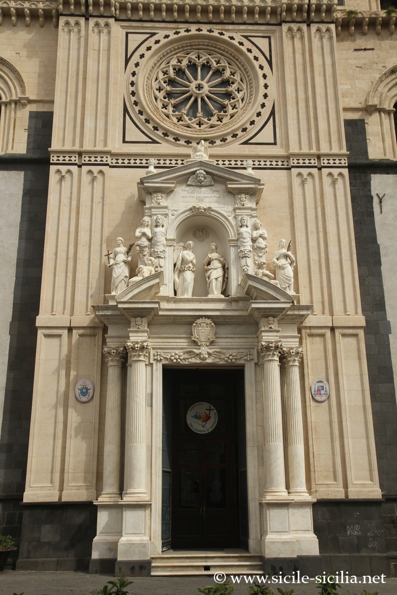
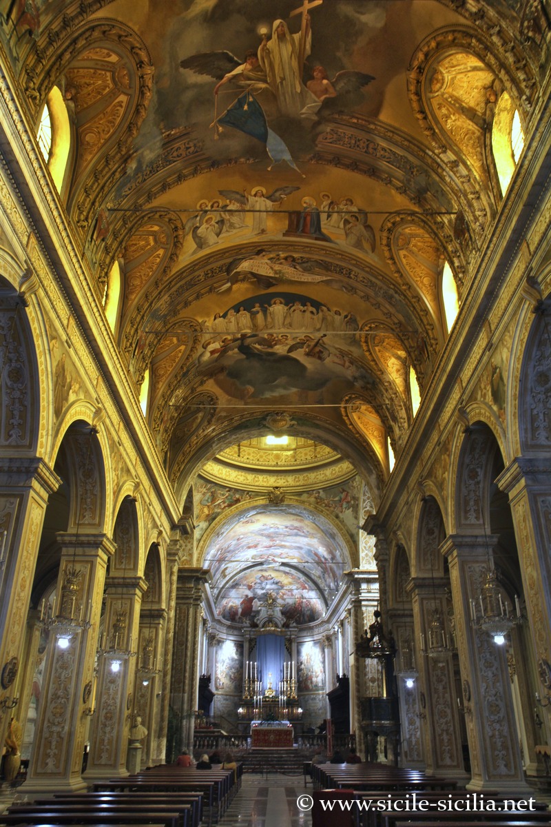
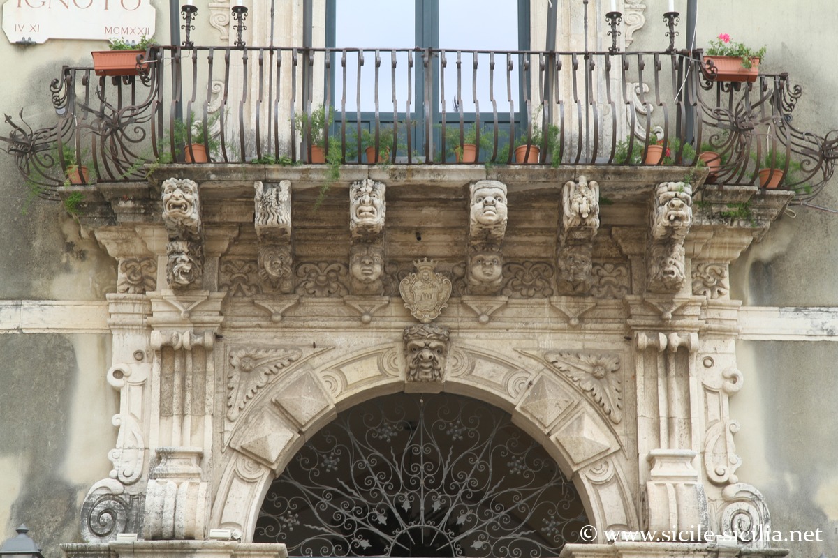
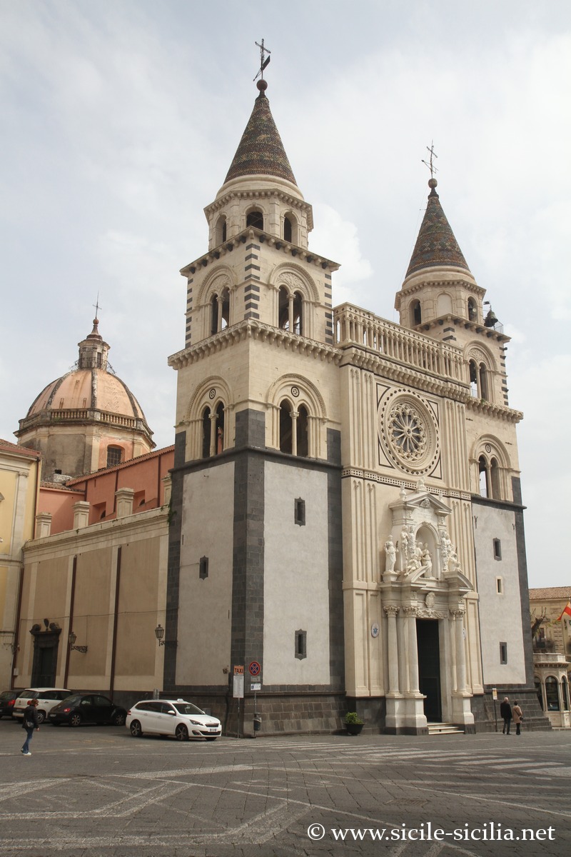
The city was almost entirely destroyed by the earthquake of 1693, then rebuilt in a very rich Baroque style. The most important buildings are: the Cathedral of the Annunciation, the Basilica of Saint Sebastian, the Basilica of Saints Peter and Paul, the aristocratic palaces, their portals of carved lava, and the frescoes of Pietro Paolo Vasta.
Acireale is also renowned for its thermal baths of Santa Venera, whose establishment dates back according to tradition to Greek structures, then Roman and Byzantine, before being reused in the modern era.
The Timpa Nature Reserve, just above the sea and a few kilometers from the center, offers a steep coastline, spectacular views of the black volcanic cliffs and Mediterranean vegetation adapted to the basaltic soil.
Every spring, the Carnival of Acireale attracts many visitors with its flowered floats, decorations and traditional celebrations.
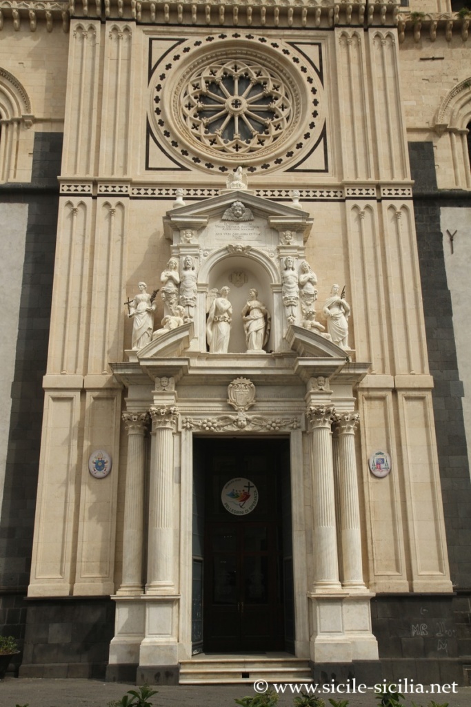

Portal of the Cathedral of Acireale 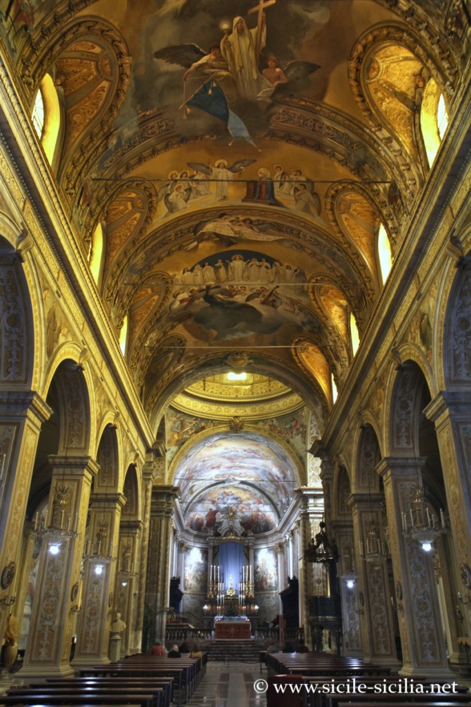
Interior of the Cathedral of Acireale 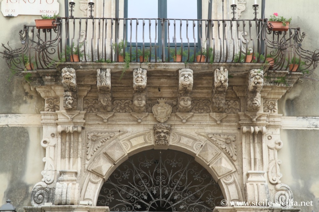

Palazzo del Comune, Acireale 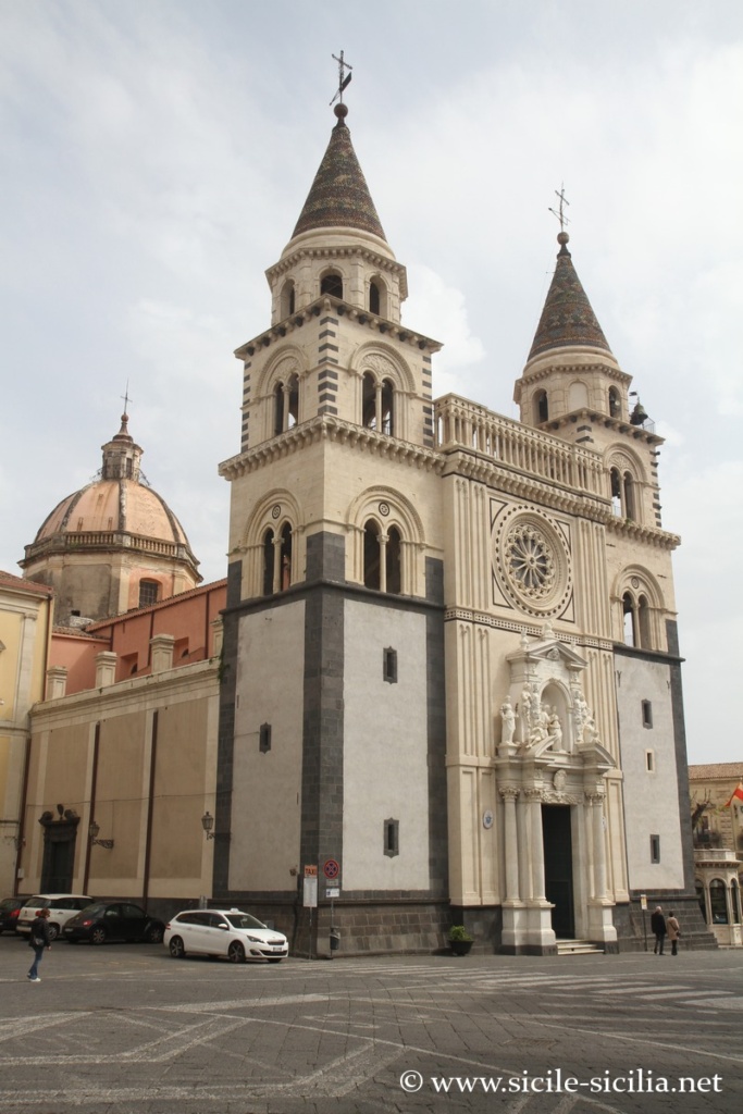
Cathedral of Acireale 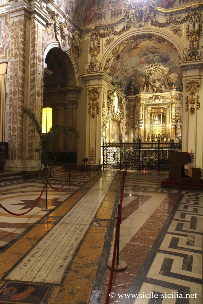
Sundial, Cathedral of Acireale
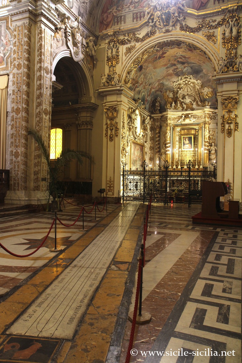
Beach and Capo del Mulino
Beach del Mulino, Acireale 
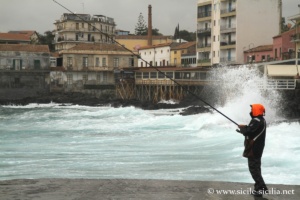
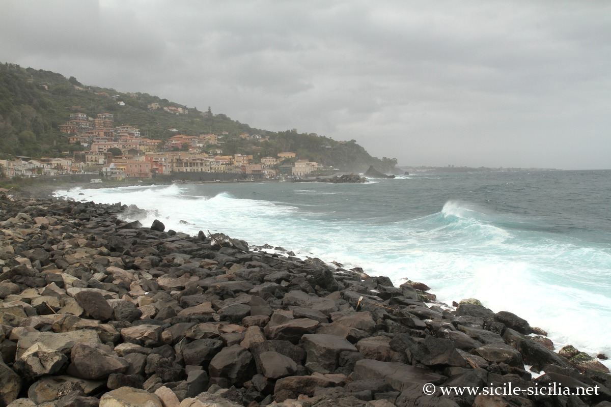
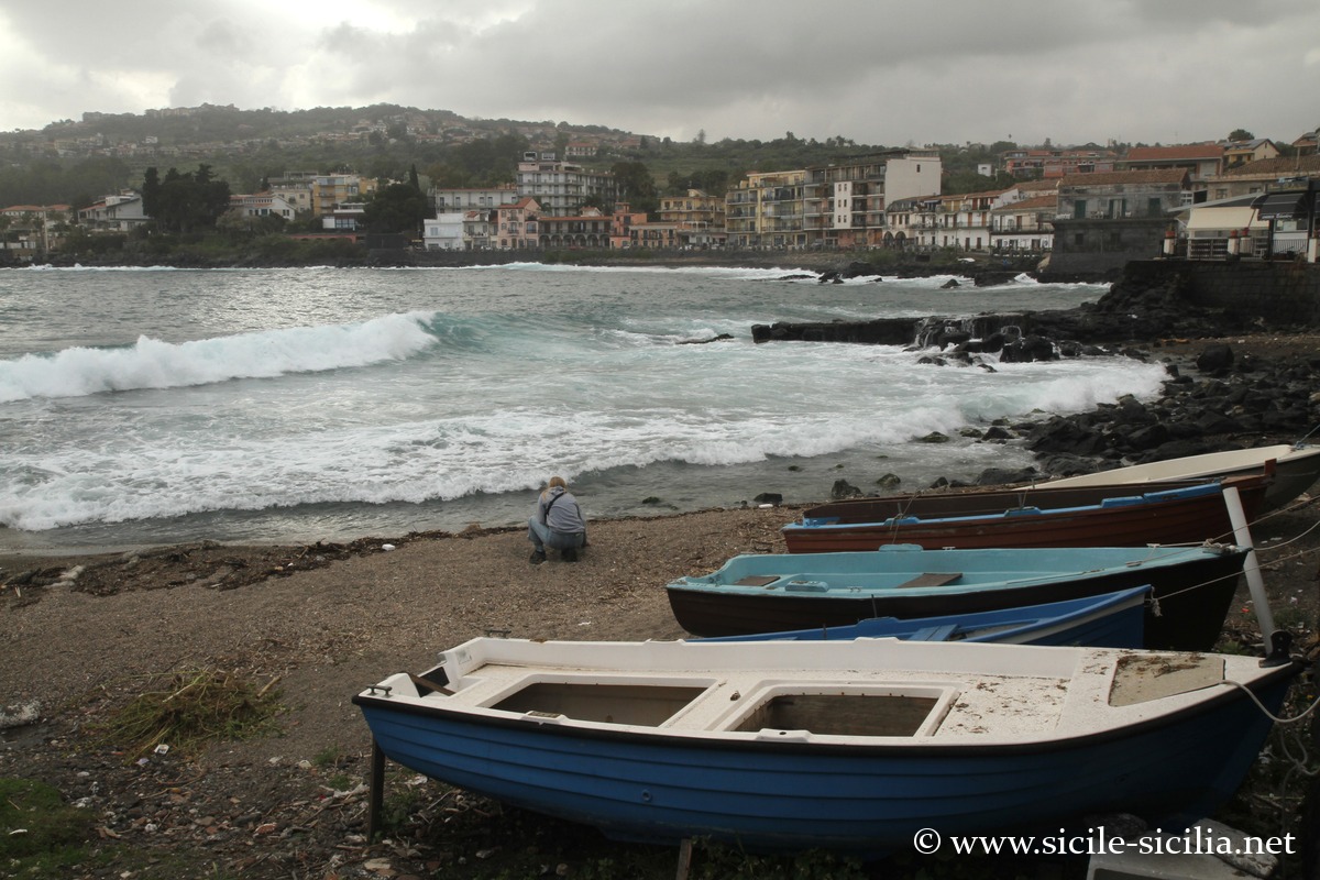
Map: Riviera dei Ciclopi
 Show interactive map
 Information
Suggested visits
External sites
- Timpa Reserve: www.riservalatimpa.it
- Blogs and tourist sites: www.sicilytourist.com, acicastello.turismo.comunelive.it
- Acireale: Wikipedia page
- Aci Castello: Wikipedia page, acicastello.turismo.comunelive.it
- Marine Reserve of the Cyclops Islands: Wikipedia page
Further afield in the surroundings of Catania
- Hyblaean Mountains and the Anapo Valley
 A Mediterranean limestone plateau The limestone mountain plateau of the Hyblaean Mountains extends ...
 - Syracuse
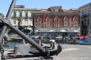 The powerful Greek city of Syracuse was founded in the 8th century ...
 - Catania
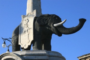 The second most populous city in Sicily after Palermo, Catania has faced ...
 - Mount Etna
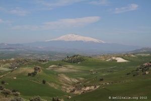 Etna is the highest active volcano in Europe with its 3,330 metres. ...
 - Taormina
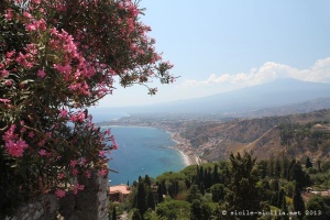 A charming tourist destination Located in a magnificent setting, between sea and mountain, ...
 - Centuripe
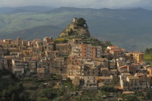 Upstream of the valley, on a series of hills overlooking the Simeto, ...
 - Militello in Val di Catania
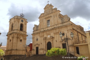 Set in the hills between the plain of Catania and the north ...
 - Lentini and the ancient Lentinoi
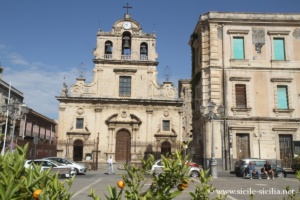 Lentini is a Sicilian town located in the province of Syracuse, in ...
 - Augusta and Brucoli
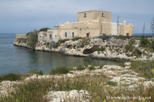 A few kilometres further north of ancient Megara Hyblaea, Augusta was founded ...
 - Simeto Valley, Paternò, Adrano
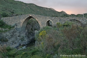 West of Catania, the Simeto valley forms a vast region still little ...
 - Circumetnea, the train around Mount Etna
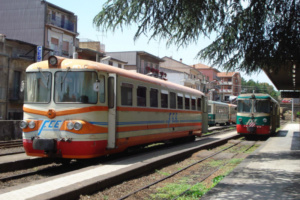 The Circumetnea is an opportunity for an original discovery of the Etna ...
 - Megara Hyblaea
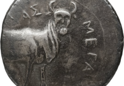 Megara Hyblaea was one of the first cities founded by the Greeks ...
 - Catania Environs: Riviera and Countryside
 Mount Etna (overview) In the environs of Catania, the Etna park offers a ...